Steve Perry founded Sperry Geospatial, which today creates trust in land trust maps. Learn how Steve uses ArcGIS Field Maps and Arrow GNSS receivers to deliver customers superior, reliable results.
Steve Perry founded Sperry Geospatial, which today creates trust in land trust maps. Learn how Steve uses ArcGIS Field Maps and Arrow GNSS receivers to deliver customers superior, reliable results.
As a GIS Specialist at Colliers Engineering & Design, Amanda Paton understands clients’ needs, collects GIS data, and analyzes it to make sure needs are met.

Using an Arrow 100 GNSS receiver and Esri’s ArcGIS, Brian Tucker helps protect Hawaii’s most abundant native tree from a fungal pathogen.
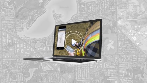
In this webinar, Esri, OHM Advisors and Eos explore underground utility mapping with Eos Locate™ for ArcGIS®, including a utility case study.
Mike Kolody turned his childhood love of cartography into a career. Today he helps clients modernize mobile GIS and GNSS mapping workflows.
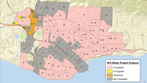
City of Santa Barbara is using an Arrow Gold® Base Station to map meters with centimeter accuracy, as city staff replace assets to respond to drought.

Join Eos, Esri and friends for this interactive panel from 2020 Esri IMGIS on mobile GIS and high-accuracy GNSS, including recorded Q&A.

Zac Petix is VP of Geospatial Services at Palmetto Engineering. Learn how he uses high-accuracy GIS to help clients determine sound solutions.
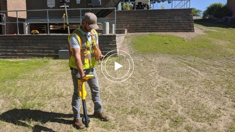
In this recorded Eos Locate case study, Michael Cousins explains how underground mapping (Arrow Gold®, Collector) improved legacy buried-asset records.
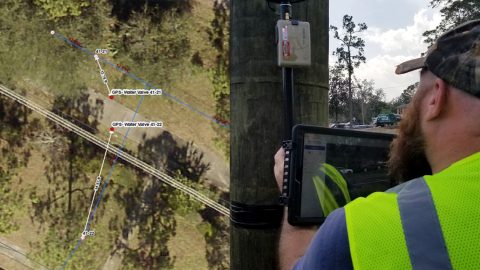
NSBU on the Florida coast needed a real-time, easy-to-use high-accuracy data collection system to replace paper redlining.