Step-by-step instructions to connect your Eos GNSS receiver to Eos Tools Pro on Android and connect to your RTK network or base station.
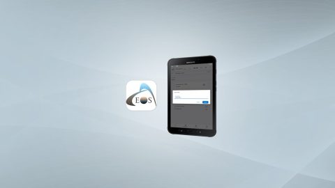
Step-by-step instructions to connect your Eos GNSS receiver to Eos Tools Pro on Android and connect to your RTK network or base station.
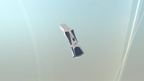
Download the Skadi Smart Handle™ datasheet to view technical specifications including power consumption, laser specifications, compatible Skadi Series™ GNSS receivers, and more!
This article will show you how to calculate your total antenna height, including phase center, for the Eos Arrow 100 and Arrow 100+ receivers.
Experts answer questions about datum transformations, RTK, ArcGIS Field Maps and more in Part 1 of Q&A from our October 2022 workshop.
Our panelists answer questions about datum transformations, RTK, ArcGIS Field Maps and more in this Q&A from our recent workshop.
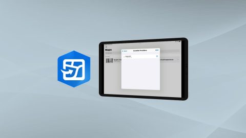
Learn how to configure location provider and location profile in ArcGIS Field Maps for Arrow GNSS receivers.
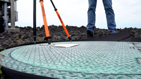
Learn how to verify your GNSS receiver’s performance by using a survey monument in this video.
Want to use external Bluetooth® GPS receivers in your work, but not sure where to start? Eos has compiled five resources to help you get started on your journey.
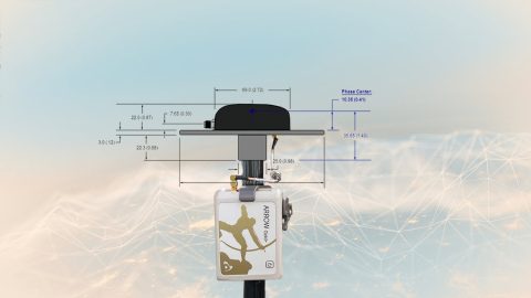
This article will show you how to calculate your total antenna height, including phase center, mounting plate height, and range pole, for use with RTK elevations.

Eos Positioning Systems was pleased to offer 4 live GPS training workshops for various ArcGIS apps. Contact Eos to request a recording.