Feature Story
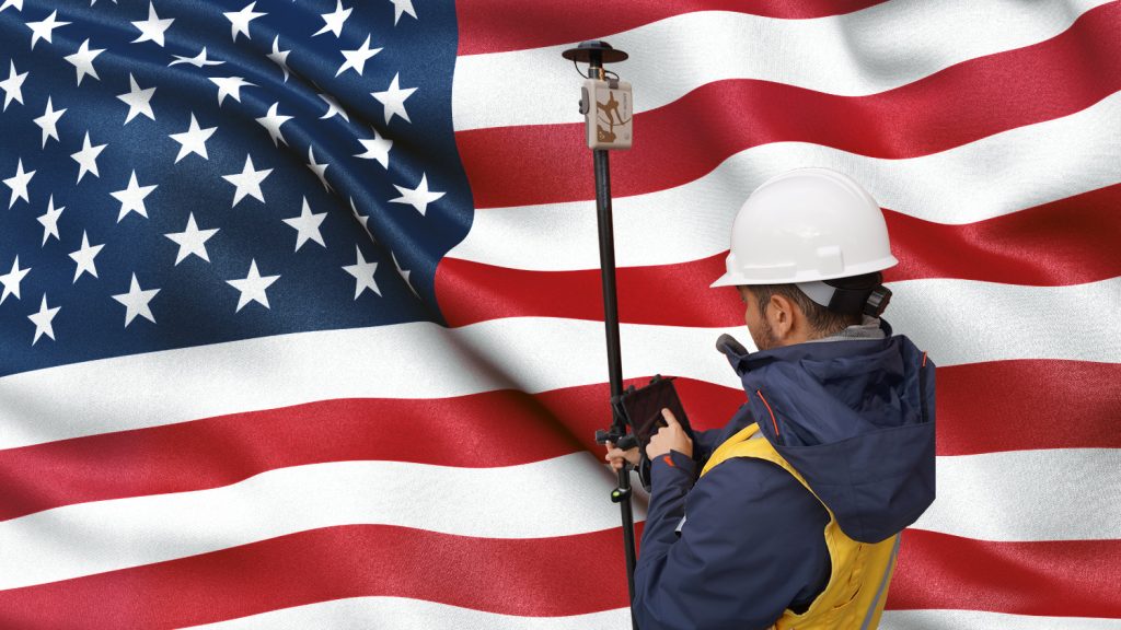
/// Wilmington Achieves Real-Time As-Built Drawings with ArcGIS Field Maps and Arrow GNSS Receivers
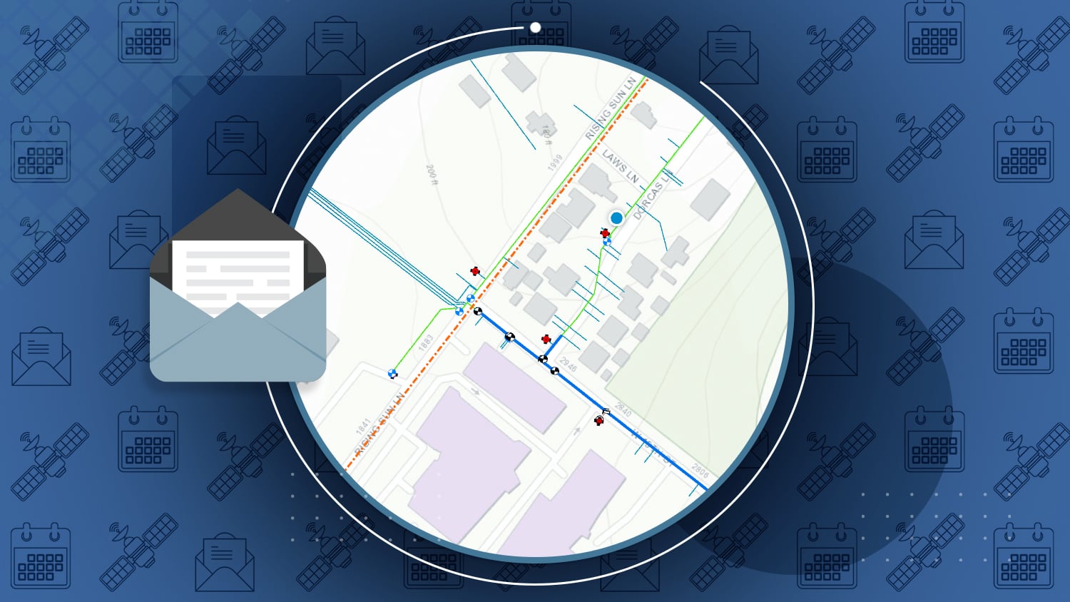
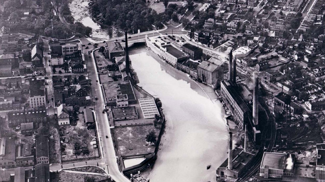
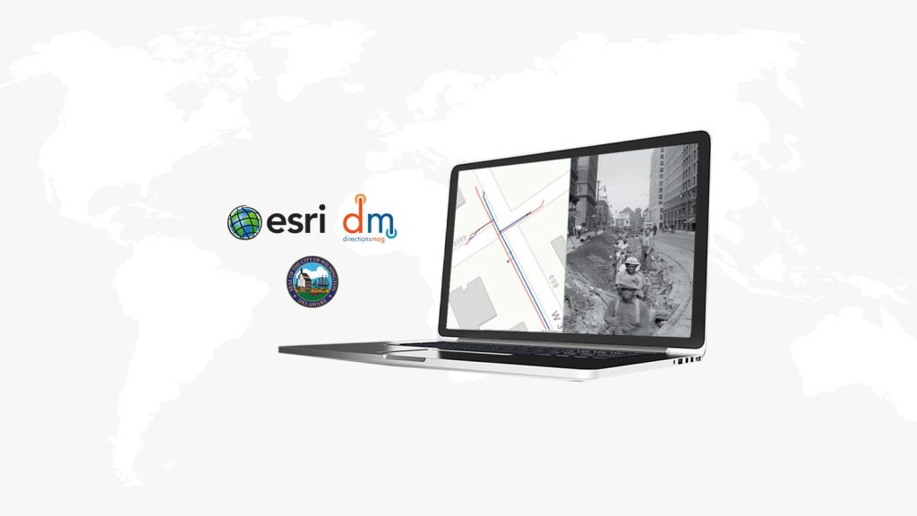
Got as-built drawings? In this new case study, learn how the City of Wilmington achieved real-time as-builts by adopting Esri’s ArcGIS Field Maps with the Arrow Gold GNSS receiver. Now with centimeter-level drawings instantly available in a GIS-friendly scheme, the city can much more easily manage the replacement of historic water-utility assets. Improved collaboration between the city and third-party contractors means information about newly installed assets is returned to the public works team in near real time instead of waiting 1+ year for CAD files.
Industry News
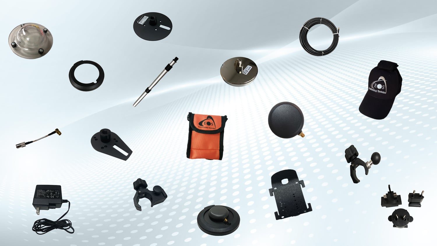
With every Arrow GNSS purchase comes plenty of standard accessories. But did you know you can purchase many add-ons, such as different cable lengths, magnetic accessories, and various field-gear setups? A brand-new accessories section of the Eos website is now available to explore!
Explore Eos accessories >
Request a Laser Mapping Workshop
Did you miss the March 2021 Eos Laser Mapping training workshop we hosted with special guests from Esri and LTI? No problem! Just fill out the form to request a copy of the workshop for free. Please note you must use a work email address.
Request the laser mapping workshop >
Eos is pleased to announce we are now SAM certified. The U.S. Federal Contractor Registration’s System for Award Management (SAM) makes it even easier for federal organizations to do business with our team.
Learn what SAM means >
Al’s Corner: Technical Tips
Eos Welcomes EarthSoft’s EQuIS Collect
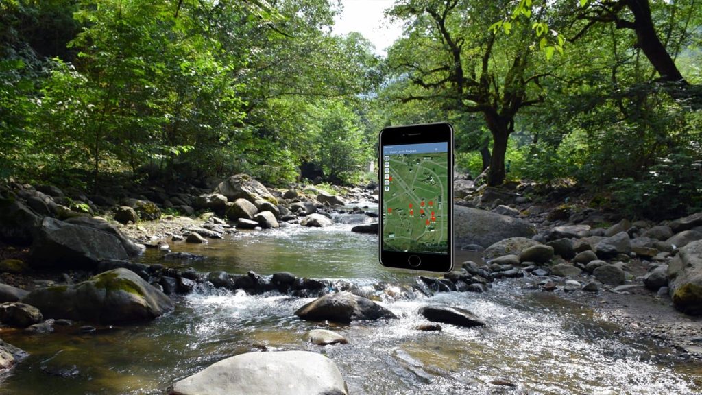
EQuIS™ Collect is EarthSoft’s premier field data collection app and our newest partner app. Use it to easily and electronically gather accurate, georeferenced environmental data.
Discover EQuiS Collect >
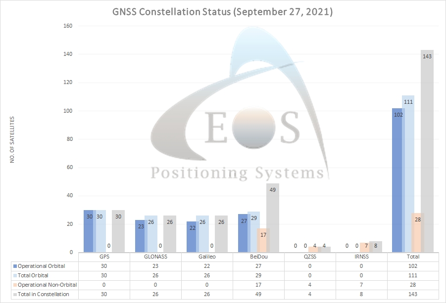
Current GNSS constellation status for September 27, 2021:
Customer Spotlight
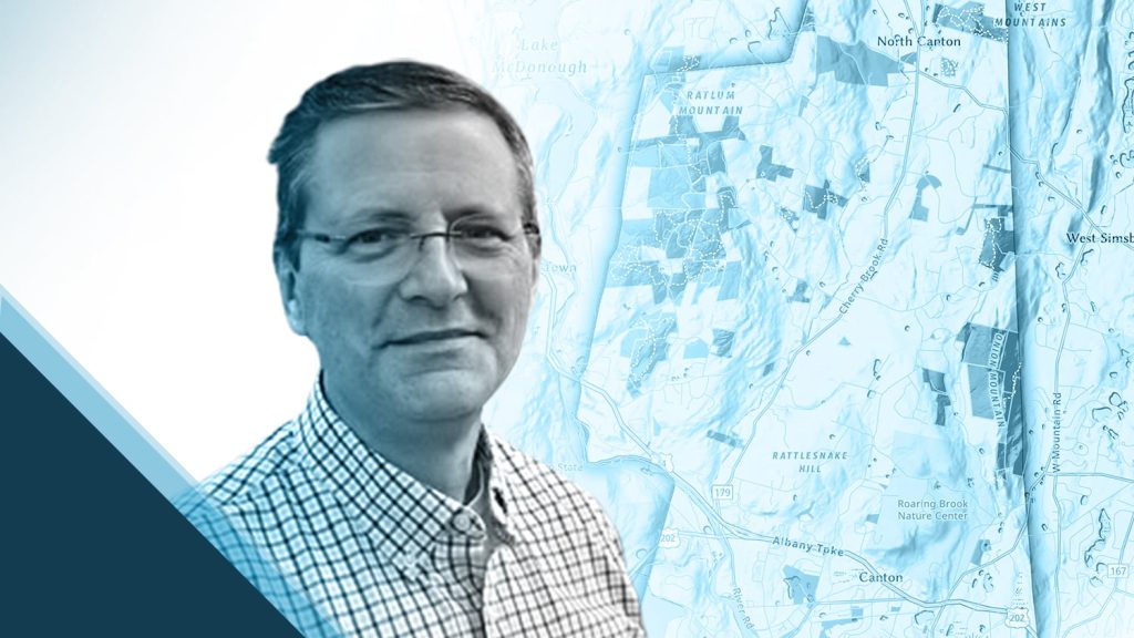
Customer Spotlight: Steve Perry Builds Trust in Land Trust Data
Steve Perry, GISP, is passionate about helping conservation land trusts enhance their work with geospatial data. Lately Steve has been using Field Maps with an Arrow Gold to deliver superior deliverables! Learn how Steve creates trust in land trust maps.
Get to know Steve Perry >
Upcoming Events
Esri IMGIS
Palm Springs, California | October 25-28
Visit Eos at one of the first physical Esri events since the pandemic. Our team will be available for three days in the expo hall. Get your hands on some of our newest products, like the Eos Bridge!
How to Find Eos at IMGIS >
Webinar: Using High-Accuracy Arrow GNSS in ArcGIS Field Maps
Online | October 6
In this star-studded webinar, you’ll learn everything from the history of GNSS data collection up to the newest Esri’s mobile app. You’ll also hear how a current customer deployed both technologies at the historic City of Wilmington, Delaware.
Reserve your webinar spot >
Esri France SIG
Virtual | October 11-15
Parlez-vous français? Join Eos Positioning Systems virtually for this ArcGIS event for francophones hosted by Esri France. Join our team for a live session at 3:30 p.m. local time (Paris), or book a private meeting in French.
How to Connect with Eos at SIG >

