Step-by-step instructions to connect your Eos GNSS receiver to Eos Tools Pro on Android and connect to your RTK network or base station.
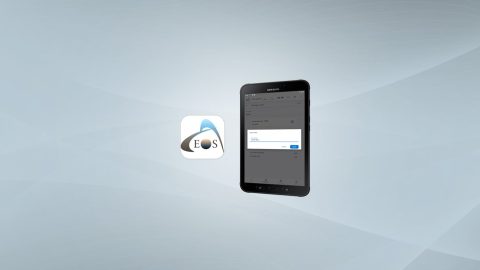
Step-by-step instructions to connect your Eos GNSS receiver to Eos Tools Pro on Android and connect to your RTK network or base station.
This article will show you how to calculate your total antenna height, including phase center, for the Eos Arrow 100 and Arrow 100+ receivers.
This MDM guide will walk you through how to configure common Eos Tools Pro settings for multiple field workers across an organization. Includes sample code.
Experts answer questions about datum transformations, RTK, ArcGIS Field Maps and more in Part 1 of Q&A from our October 2022 workshop.
Our panelists answer questions about datum transformations, RTK, ArcGIS Field Maps and more in this Q&A from our recent workshop.
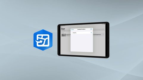
Learn how to configure location provider and location profile in ArcGIS Field Maps for Arrow GNSS receivers.
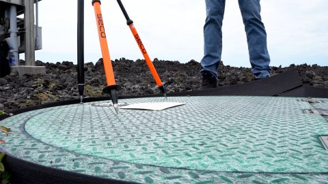
Learn how to verify your GNSS receiver’s performance by using a survey monument in this video.

This quick video shows you how to configure elevation (orthometric vs. ellipsoidal) output in Eos Tools Pro, including a complete list of currently available GEOID models by region.
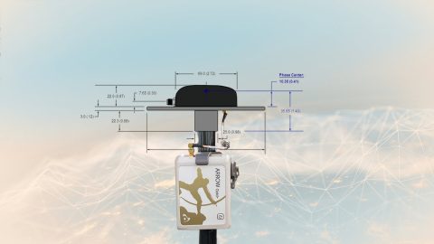
This article will show you how to calculate your total antenna height, including phase center, mounting plate height, and range pole, for use with RTK elevations.
Mock Location is available in the “hidden” Developer Mode menu on your Android device. Here is how to enable it: