
Visit Eos Positioning Systems® (Eos) and Esri at the 2026 NRWA WaterPro Conference conference. This year’s event will be held at the The Phoenix Convention Center in Phoenix. Eos and Esri will be in booth #109 from September 14–15. Be sure to attend our free, hands-on mobile mapping workshop on September 15. Details about the workshop, including the official WaterPro agenda links, are posted below. Add our session to your agenda and be sure to stick around for part two, when you can go outside in small groups and use real GNSS receivers with your own device or ours! Scroll below for details …
Expo Dates & Times
Sep 14, 2026 / 9:30am – 6:00pm
Sep 15, 2026 / 7:00am – 12:00pm 2026-09-14 09:30:00 2026-09-15 12:00:00 America/Los_Angeles 2026 NRWA WaterPro Conference Find Eos at 2026 NRWA WaterPro Conference Phoenix, AZ Eos Positioning Systems
Social Media
Find Eos and Esri in the exhibit hall (booth #109):

Our booth will look like this:

Our Conference Sessions
The Eos team will be participating in the following sessions during the conference. Please join us for some informative discussion.
Session 1: Web GIS: Enabling Digital Maps & GPS Field Data Collection (Part 1 of 2)
Sep 15, 2026 / 2:45 pm - 3:45 pm |
Room: 128 A&B
In part one of this hands-on mobile mapping workshop from Esri and Eos Positioning Systems, you’ll learn how modern GIS and GPS tools can simplify everyday tasks for small and rural water utilities. We’ll break down essential mapping concepts and show practical solutions that help you build digital system maps, reduce paper processes, and create easy-to-use apps for field and office staff.
- Christa Campbell, Esri
- Tyler Gakstatter, Eos Positioning Systems
- Isaiah Mack, Eos Positioning Systems
Session 2: Web GIS: Enabling Digital Maps & GPS Field Data Collection (Part 2 of 2)
Sep 15, 2026 / 4:00 pm - 5:00 pm |
Room: 128 A&B
In part two, you’ll head outdoors for a guided data‑collection exercise. Experts from Esri and Eos Positioning Systems will teach you how to capture highly accurate location data using the mobile devices you already own, connected to professional-grade GNSS receivers. After collecting real features, you’ll see how that information flows instantly into maps and dashboards that support valve locating, line repairs, asset management, regulatory reporting, and cross‑team communication.
- Christa Campbell, Esri
- Tyler Gakstatter, Eos Positioning Systems
- Isaiah Mack, Eos Positioning Systems
Who are Eos and Esri, and what do we offer National Rural Water Association members?
Eos and Esri partner with NRWA to bring rural water professionals easy-to-use mobile mapping applications. With our combined hardware and software, NRWA member organizations are able to collect, use, and share geospatially aware information with everyone who needs it. Maps have always been essential to understanding and improving the delivery of safe, clean drinking water and reliable sewer and stormwater services. Today, digital maps enable field crews to quickly view and collect data with mobile devices, and user-friendly GPS receivers ensure this data is accurate. Eliminating paper forms, unreliable maps, and manual data entry improves workflows across your organization. Learn how you can use GIS and GPS to resolve common business challenges by visiting Esri and Eos at our joint booth in WaterPro.
Browse Eos and Esri Customer Success Stories:
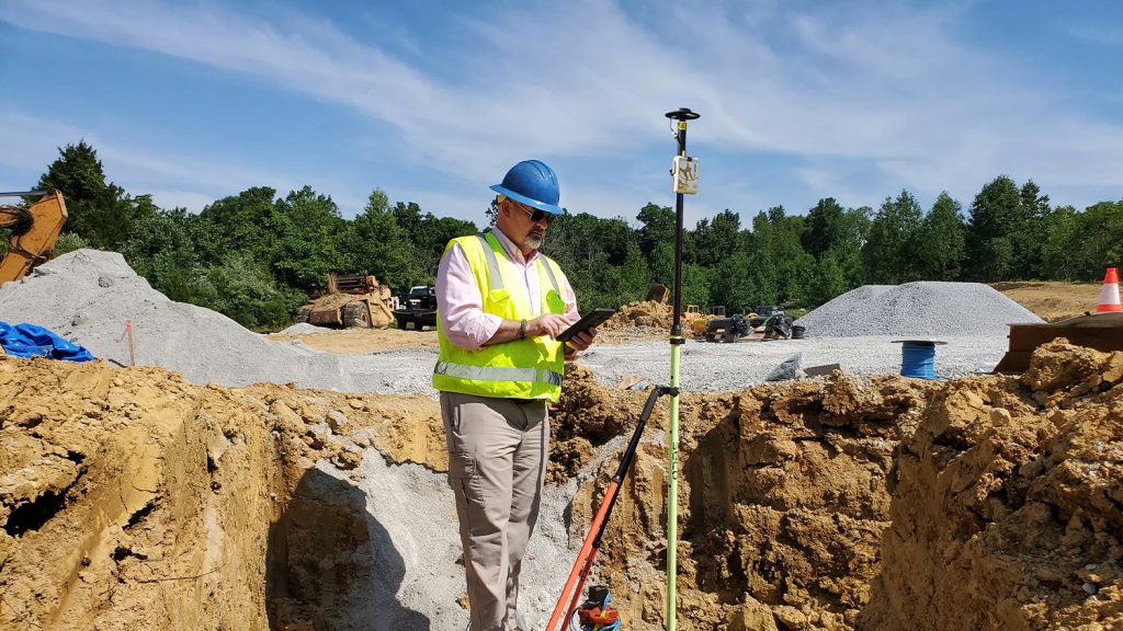
Kentucky Water District Cuts Meter Installation Costs in Half
Using Arrow Gold for rural water data collection helped a Kentucky utility reduce meter-installation cost by 50% on the Esri ArcGIS platform.
Customer Spotlight: Garrett Black Brings Accuracy Full Tilt with Skadi Gold GNSS
Garrett Black enhances efficiency and safety at a Kentucky utility with high-accuracy GNSS technology, including Skadi Tilt Compensation.

Building Confidence at Cassatt Water with Valid Valve Locations
Cassatt Water prepares for the next generation of field workers by adopting ArcGIS with a survey-grade Arrow Gold+ GNSS receiver—moving away from mapbooks.