High-accuracy data collection doesn’t need to be difficult. Here’s a simple guide to get started with the basics.
GNSS technology has come a long way since the 1970s, when the United States launched the very first GPS satellites.
Since then, many more satellites have been launched, and not just from GPS but also from other constellations like GLONASS (Russia), Galileo (Europe), and BeiDou (China). GNSS receivers have become more modern. Centimeter positioning is now possible in real time. The affordability of smart devices has increased. And a proliferation of data-collection apps has hit the market.
Amid all this, costs have dropped.
And expectations have risen.
Governments are enforcing stricter location requirements (for pipeline, water, and others). Customers expect faster response times from field crews. And GIS departments are being asked, “How accurate is this field-collected data?”
Having assets on the wrong side of the street is no longer acceptable.
Thankfully, it’s never been easier to get started with high-accuracy data collection. All you need to know are the basics of GPS data collection. In this guide, we’ll introduce you to the three main components of high-accuracy data collection. It simply starts by selecting one of each:
- Select a smart device
- Select a data-collection app
- Select a high-accuracy (GNSS) receiver.
Let’s start by exploring the most popular field devices being used today.
Step One: Selecting the Right Mobile Device(s)
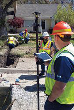
Device Considerations:
- Ease of Use
- Battery Life
- App Compatibility
- Receiver Compatibility
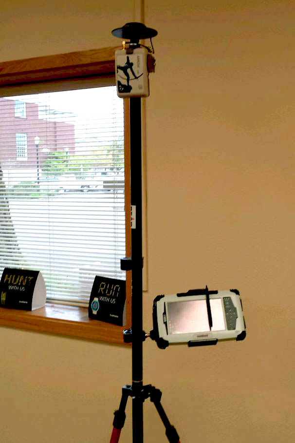
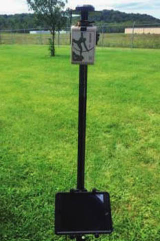
In the past, companies have opted for expensive ruggedized Windows Mobile handhelds and Windows tablets. With Windows Mobile currently endangered, users have turned instead to an obvious choice: the smartphones in their pocket, and their related familiar tablets.
There are three dominant operating systems used for data collection with commercial smartphones and tablet devices: iOS®, Android and Windows.
As the cost of an iPad® has come down in recent years, the popularity of these devices in the field has greatly increased. Part of that can be due to the ease of use of the Apple operating system, which takes little to no training to get field crews going.
Ruggedized Android tablets or handhelds are also affordable, more or less. But the issue here is that they often lack support from their manufacturers for consistent OS updates. Do not be surprised to see a new rugged Android device with an obsolete or older OS, as a result.
Meanwhile, larger Android manufacturers (such as Samsung) are now providing the public with more affordable rugged tablets and phones. These are now coming with up-to-date Android versions as well. A good example of a recent release of such a tablet is the recently launched Samsung Galaxy Tab Active 2 (8” screen).
Finally, professional Windows tablets for field-use are usually rugged. But these remain quite expensive. There are also fewer data-collection apps available for the Windows OS than for either iOS and Android.
With many software providers now offering versions of their apps on different OS, a good rugged protective case and a quality tempered-glass will do the job just fine on your existing smartphone or tablet.
Questions to Ask about Mobile Devices:
-
Is it easy to use? Does it require field training?
-
How often will I receive manufacturer updates?
-
Is it rugged? Can I make it rugged?
-
Is it compatible with a variety of apps and receivers?
Now, let’s explore data-collection apps for your device.
Step Two: Selecting the Right Data-Collection App
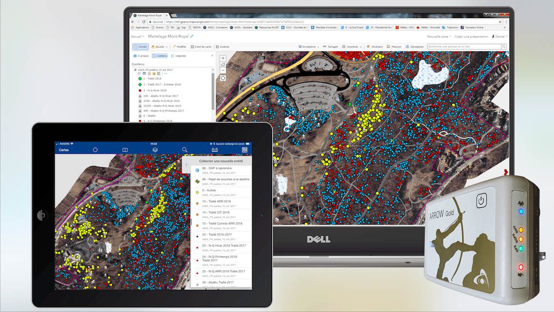
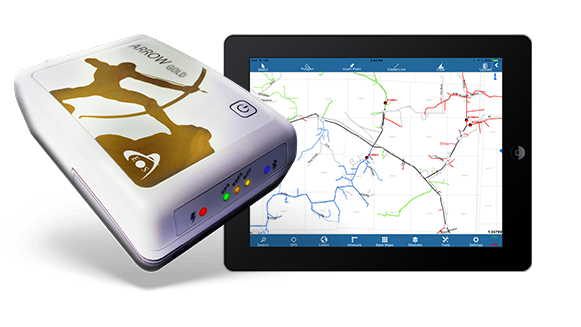
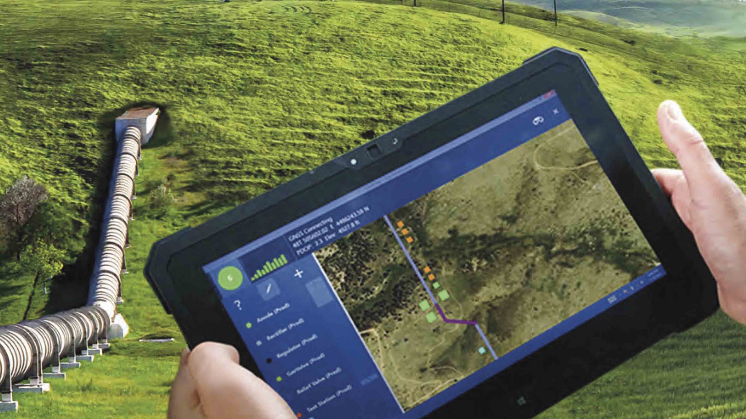
App Considerations:
- Real-Time (Cloud) Data Collection
- Functions Online / Offline
- Device Compatibility
With more and more data-collection apps available for iOS, Android, Windows, and Windows Mobile — where do you start? (Albeit, keep in mind that you may find the use of legacy Windows Mobile devices for field GIS data collection is somewhat disappearing in the industry.)
Let’s look at the basics. There are three types of apps to pick from — cloud-based, standalone, and HTML5. They differ primarily on how they collect and share data.
But by far, the most popular data-collection apps are cloud-based. So let’s discover why cloud-based apps are so frequently selected.
What are Cloud-Based Apps, and How Do They Work?
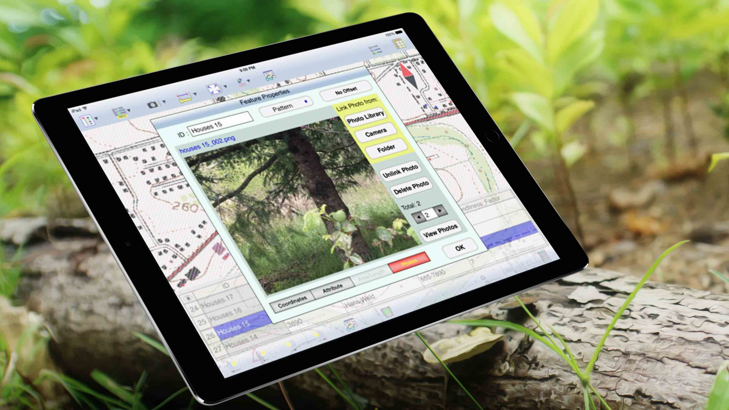
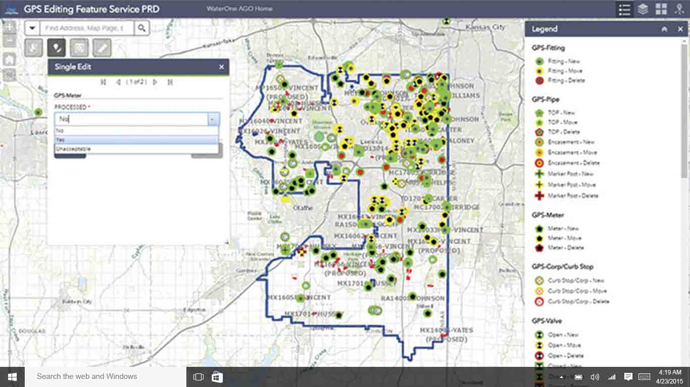
Cloud-based apps, such as ArcGIS Collector, are installed on your device. They record features and attributes and sync this data automatically to a server. If you lose your connectivity, you can go on collecting data while offline. The app will sync when you are connected again to the Internet.
Cloud-based apps are ideal for organizations that want real-time, field-to-office data sharing and minimal intervention on collected data.
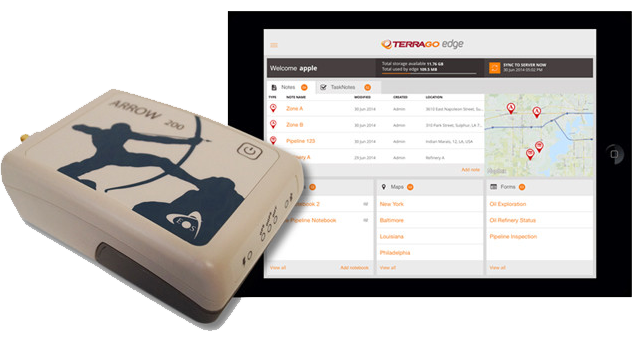
The most popular cloud-based apps among Eos users include:
- AmigoCollect (iOS, Android)
- ArcPad (Windows, Windows Mobile)
- CartoPac Mobile (iOS, Windows)
- ArcGIS Collector (iOS, Android, Windows)
- Futura FieldPro (iOS) and FuturaStake (iOS, Windows)
- Sirrus (iOS)
- ArcGIS Survey123 (iOS, Android, Windows)
- TerraGo Edge (iOS, Android)
Quick Facts about Cloud-Based Apps:
- Is it installed on my device? Yes
- Does it share (or synchronize) data in real time with a GIS server? Yes
- Will it work *both* online and offline? Yes (usually)
Now let’s take a look at the second most popular type of data-collection app: the standalone app.
What are Standalone Apps, and How Do They Work?
Like cloud-based apps, standalone apps are installed on your device. However, standalone apps do not sync collected information with a server.
With a standalone app, data is collected in the field. At the end of a day, week, or project, field crews can share data with their managers. Standalone apps commonly offer a variety of ways to share this data, such as transferring files via email, ftp, manual download, or cloud drives.
Standalone apps are ideal for small crews that don’t require real-time information sharing. Besides the regular data collection of points, lines and polygons, these apps often offer some specialized features, such as stake-outs and COGO.
The most popular cloud-based apps Eos supports include:
- DigiTerra Explorer (Windows and Windows Mobile)
- Field CE GIS/Survey (Windows Mobile)
- iCMTGIS PRO (iOS)
- mapitGIS (Android)
- PC Mapper (Windows)
- tMap (Android)
Quick Facts about Standalone Apps:
- Is it installed on my device? Yes
- Does it share (or synchronize) data in real time with a GIS server? No; standalone apps typically only support the streaming of maps in the background
- Will it work *both* online and offline? No (offline only)
Finally, let’s look at HTML5 apps, which are typically built in-house for specific organizational needs.
What are HTML5 Apps, and How Do They Work?
HTML5 apps are web applications that are accessed through a browser on your mobile device. This means you can collect data only when connected to the Internet.
The benefits of HTML5 apps include:
- Your data is collected in real time
- The app is completely device-agnostic
- And there is no deployment or field maintenance of the app required
The trade-off is this: Your HTML5 app won’t work in a disconnected environment.
Quick Facts about HTML5 Apps:
- Is it installed on my device? No; HTML5 apps are browser-based
- Does it share (or synchronize) data in real time with a GIS server? Yes
- Will it work *both* online and offline? No (online only)
Because HTML5 apps are usually custom built for in-house (i.e., unique organizational) purposes, Eos does not currently have any HTML5 app partner providers.
Now, with devices and apps explained, let’s take a closer look at the high-accuracy receivers that give you that survey-grade level of accuracy.
Step Three: How to Select a High-Accuracy GNSS Receiver
Receiver Considerations:
- Accuracy (Submeter, Subfoot, Centimeter)
- Corrections (e.g., SBAS, RTK, Atlas®)
- Flexibility (Devices, Apps)
- Ease of Use
- Battery Life
- Manufacturer Support
You might be asking yourself a very common question: Doesn’t my phone have a built-in GPS receiver? Then why do I need an external one?
It sure does. But there are two types of GNSS (GPS) receivers: consumer grade and professional.
Consumer vs. Professional Positioning
Consumer GNSS receivers, like the ones that come inside your iPhone®s, are accurate to within about five meters (or more if the sky is obstructed, such as on a hiking trail). Consumer-grade technology is not yet at the level needed for most organizations responding to requests for asset locations. No one wants a pipeline on the wrong side of the street in their GIS.
This is why it’s important to choose a professional GNSS receiver. So how do they work?
Each receiver has an antenna, either built-in or separate, that receives satellite signals. The signals are constantly flowing from satellites to Earth, similar to how a radio antenna picks up signals as soon as you turn it on.
Differential Corrections for Higher Accuracy
The receiver uses these signals to generate location coordinates. But due to variations or disturbances in the ionosphere, small offsets in the satellites’b positions (aka “ephemeris”) and atomic clocks, and other factors, these coordinates need to be corrected in a process called differential correction.
There are two types of differential corrections:
- Post-processing
- Real-time differential corrections
Post-processing requires a few things. This includes:
- The recording of raw satellite observations in the field
- The use of a proprietary software
- The download and transfer of the collected files to a PC
- The download of raw observations from a nearby base station
- Combining all this data in another proprietary PC software
- Then, finally, the acknowledgment of the quality of the collected data
- And, if there are no surprises with the quality of data collected, the conversion to a suitable file format compatible with your GIS software
In the old days, the above workflow was common and necessary for all high-accuracy data collection using GNSS. In fact, post-processing is still a must today for some survey-grade applications that require maximum GPS accuracy.
However, this process does not fit the modern field data-collection workflow of all of the apps listed above. What’s the difference?
The apps above use real-time differential corrections, or “real-time processing,” which drastically eliminates time spent verifying quality of location data.
In real-time-processing, corrections are received directly in the field — and the quality of the data is asserted in real-time.
There are two types of differential corrections, mainly:
- Satellite Based Augmentation Systems (SBAS)
- Land-Based Augmentation Systems (LBAS)
Free SBAS corrections are available for submeter accuracy with WAAS, EGNOS, GAGAN, and MSAS. (There is also a test SBAS currently in Australia and New Zealand.) For work in other areas, where no other sources of differential corrections are available, a paid subscription to a satellite service, such as Atlas® may be the best option.
LBAS, on the other hand, are land-based corrections. These include RTK networks (often free) and privately owned base stations.
The market is full of GNSS receivers that vary in how they use satellites and corrections. This makes picking your receiver come down to knowing what you need, and what you’re getting.
Here are some questions we recommend asking about any GNSS receiver:
Accuracy
- How many constellations does it support and can it use them concurrently?
- What level of accuracy does it achieve?
- Does it provide location metadata?
Corrections (e.g., SBAS, RTK)
- Does it support free SBAS corrections?
- What accuracy and performance is achieved with SBAS?
- Does it support Atlas® or standard RTK corrections if I need higher level of accuracy?
Flexibility (e.g., Devices, Apps)
- Does it work with my mobile device(s)?
- Does it work with my field apps?
Ease of Use
- Is it easy to configure?
- Is it easy to use?
- Is it rugged?
- How long will its battery last?
- Is the battery field-replaceable?
- How fast does it provide location in the field?
Manufacturer Support
- Is its manufacturer responsive?
- Can I talk to someone if I need help?
- Is the receiver future-proof? (Will it support future satellites, frequencies, software updates, etc.?)

