Are you a consultant, big or small, whose work requires delivering geospatial maps or related deliverables with survey-grade accuracy? Are you looking to replace a cumbersome legacy GNSS or purchase your first receiver? Whether you’re new to the world of positioning or a veteran surveyor, Eos Positioning Systems (Eos) can help. Our GNSS hardware and solutions are ideal for consultancies whose profitability depends on delivering affordable, accurate results with fool-proof hardware that is as reliable as it is versatile. Worldwide, our GNSS receivers have become a go-to choice for consultancies performing construction surveys, utility as-builting, civil-engineering projects, wetland-delineation mapping, vegetation and aquatic resource management, and more. Keep reading to see why consultancies like yours choose Eos.

No Annual Subscription Fees
All of our GNSS receivers are able to get out-of-the-box submeter accuracy or better without any subscription necessary. Our hardware also supports subfoot accuracy with Galileo HAS and centimeter RTK accuracy with your existing network or base station.
Learn About Our GNSS Models >
Device and App Agnostic
Eos GNSS receivers are completely device agnostic (e.g., iOS®, Android™, Windows®) and work with any third-party app, even your own. Buy today and flex tomorrow.
Browse Popular Partner Apps >
Advanced Workflow Options
Tired of using your total station in GNSS-impaired environments? Eos offers free advanced data-collection solutions, including laser mapping, which mimick traditional surveying workflows without the hassle.
Browse GNSS Solutions >
Your GNSS, Your Way
Choose from a variety of field gear setups, including handheld brackets that bring your device and receiver into one, carbon-fiber range poles, wearable solutions, and vehicle mounts.
Browse GNSS Accessories >
One GNSS — for Every Project
No matter what your project calls for in the field, an Eos GNSS receiver can rise to the task. Our products are each hand-made in Montreal and certified to endure the harshest, coldest, most rugged field environments whether due to nature or human handling. Have a question? Our lauded customer-support team is available every business day during normal business hours (Eastern Time Zone), completely free of charge. Additionally, our global reseller network is also available to guide you through your choices for GNSS receivers, differential correction sources, mobile devices, data-collection software, and more — whichever parts you need or want. Our primary goal is to help you deliver your projects better, faster, and more affordably, so you can go home successful. Contact our team today, and we will connect you to an authorized local reseller so you can ask any questions, big or small; request a demo; or receive additional purchasing information.
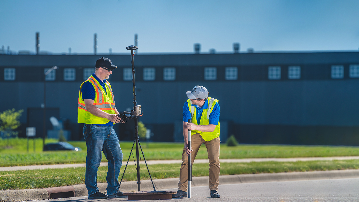
Professionals Using Eos GNSS for Consulting Work
Featured Success Story

Customer Spotlight: Gideon Simons Conducts Confidence in Rail Mapping at Arcadis
Discover how Gideon improves data collection on railways projects using real-time, high-accuracy GNSS solutions.
More InfoEven More Consulting Case Studies

Texas Drone Consultancy Maps Enchanted Rock with UAVs and GNSS
A Texas consultancy provided 3D topo maps and digital elevation models to a park by using Arrow Gold for ground control points, DJI drones & GPS Tracker.
Customer Spotlight: Zack Henry Helps Customers Succeed with High-Accuracy GIS
Zack Henry uses an Arrow Gold® with ArcGIS Field Maps for efficient data collection for utilities. When his clients succeed, Zack succeeds — and he brings that attitude to all his work.

Maine Consultancy Captures Water Infrastructure Data
Faced with a retiring workforce, Northern Forest clients began mapping assets. See how one consultancy helps them deploy Arrow 100 GNSS and ArcGIS.

DDSI Increases Profit Margins with GNSS Laser Mapping
Denver’s DDSI maps utilities in tough-to-reach areas with Eos Laser Mapping for ArcGIS Field Maps during construction design phases.
Efficiently Capturing High-Accuracy New Pipe Construction [A 2022 Esri UC Presentation]
Minnesota-based Ellingson Companies provides gas utilities with real-time as-builts that are captured with centimeter-level accuracy.

Customer Spotlight: Nora Toro Brings Confidence to Clients
Learn how Nora Toro uses Eos Arrow GNSS receivers to help coworkers find optimal high-accuracy data collection workflows and strengthen trust in their data.

Real-Time GNSS Data Collection Drastically Reduces Labor at NY Consultancy
In this presentation, David Gigliotti of explains how high-accuracy data collection (Arrow Gold® GNSS, ArcGIS) to cut mobile labor costs.

Customer Spotlight: Steve Perry Builds Trust in Land Trust Data
Steve Perry founded Sperry Geospatial, which today creates trust in land trust maps. Learn how Steve uses ArcGIS Field Maps and Arrow GNSS receivers to deliver customers superior, reliable results.
What Consultants Say About Eos
Consultants in Action with Eos GNSS Receivers


Recommended GNSS Hardware and Software for Consultants


