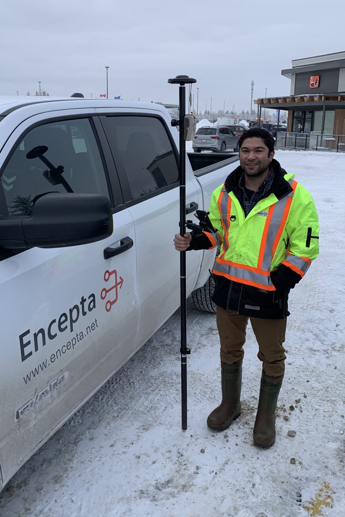
For Zack Henry, collaboration is key. As a field services technician at Encepta, Zack collects data for his telecommunications and infrastructure clients to allow them to make informed decisions for the future. He works with his team members to create the most efficient and accurate data collection process possible. When his clients succeed, Zack succeeds — and he brings that attitude to all his work.
Continue reading to hear from Zack on how he uses Eos Arrow GNSS receivers to provide quality assurance for his clients!
1. Why are you passionate about your job?
As a field services technician, I am passionate about getting my work done in an accurate and time-efficient manner. At Encepta, I enjoy working collaboratively in a team environment. In my position, it is imperative that we collect and verify accurate utility data to aid in our clients’ future designs. By doing so, we are able to save a lot of time and headaches for contractors down the road once shovels go into the ground. A rewarding experience at my job is seeing crews working on areas we have collected data for and knowing we have aided them in some way.
2. How did you first find out about Eos Positioning Systems’ GNSS products?
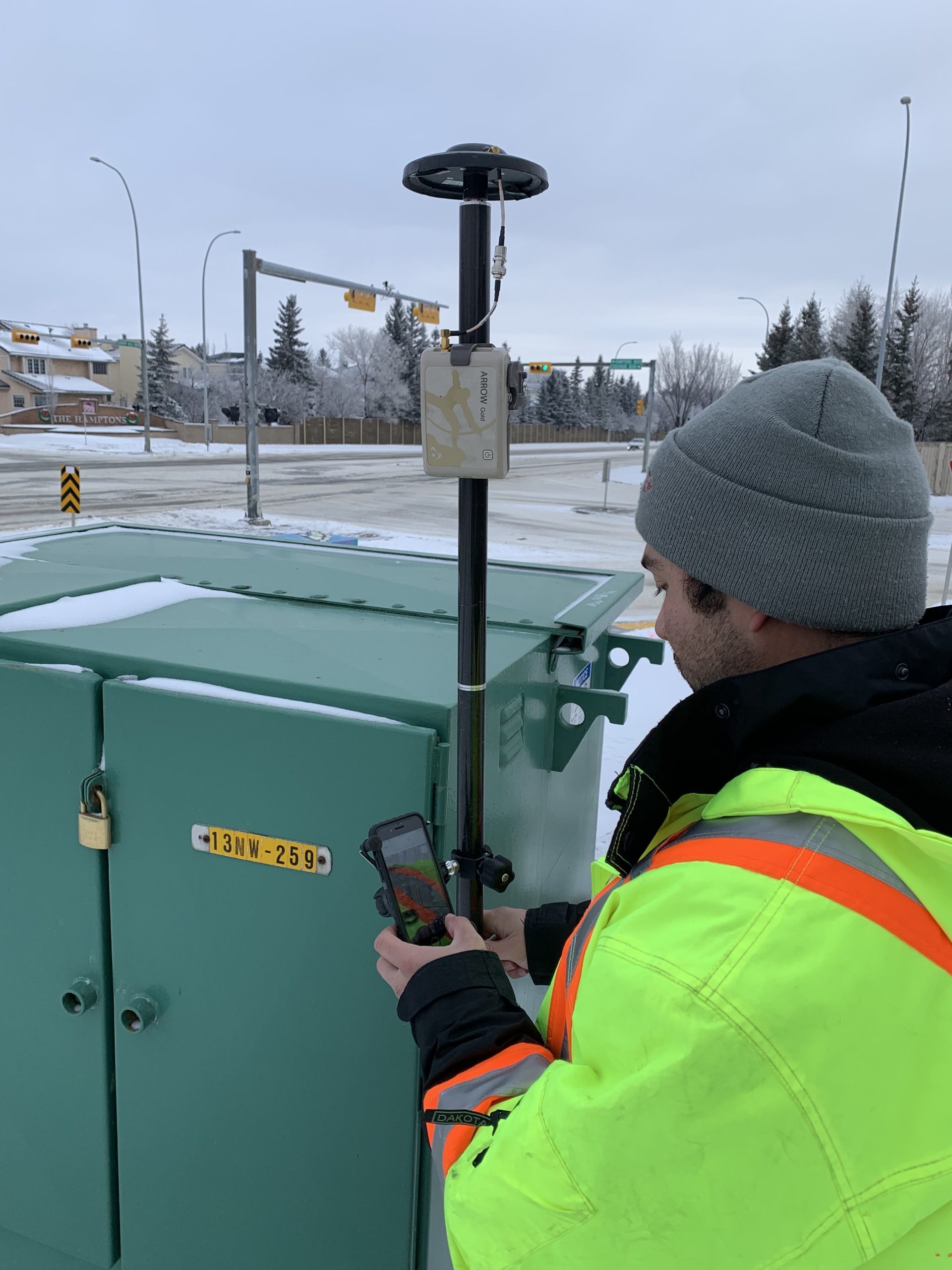
As a technology-driven company, we sought out a product to collect utility data within a 10-centimeter threshold. We use many different platforms in our work, including ArcGIS Field Maps and an in-house app developed with Fulcrum software. After experimenting with different GNSS receiver brands, we determined that the GNSS hardware from Eos Positioning Systems was the most suitable choice for our data collecting needs.
3. What do you use Arrow Series® GNSS receivers for?
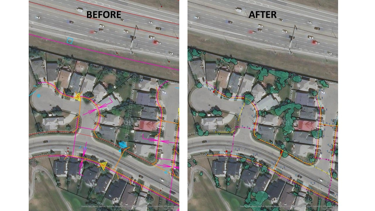
We use Arrow Series® GNSS receivers to collect underground and above-ground utility data including gas lines, power lines, water valves, and pedestal locations (e.g., power transformers, cable boxes). We aim to provide an accurate representation of where these utilities reside. Moving forward, we intend to try Eos Locate™ to map underground utilities with high accuracy and efficiency.
4. Do you have a favorite experience or memory from your projects with Eos Arrow?
My favorite experience working with Eos Arrow would be the seamless exchange from one application to another while still tethered to the Eos platform. In my job position, I use a few applications that can all connect to the Arrow Gold®. In doing so, I can smoothly transition from one project to the next without additional device setup and with Eos Tools Pro continually running in the background.
5. Do you have a favorite feature of Arrow GNSS receivers?
As a field services technician, my main concern is reliability and user-friendliness for my team. The Eos website has many useful resources and tools for learning about their products. Regardless of the type of asset that needs to be mapped, Eos delivers accurate data while being an easy and reliable platform to operate on. I am excited to try Eos Locate™ and see how it positively impacts my team.
