As the new year approaches, Eos Positioning Systems (Eos) would like to thank all our customers, partners, distributors, and friends for a fantastic 2022. To celebrate, Eos will begin its annual countdown of our top-viewed posts of the year. For daily updates until the New Year, follow our Twitter and LinkedIn profiles. Or if you prefer browsing all the posts at once, keep scrolling!
Counting Down to Number 1 …
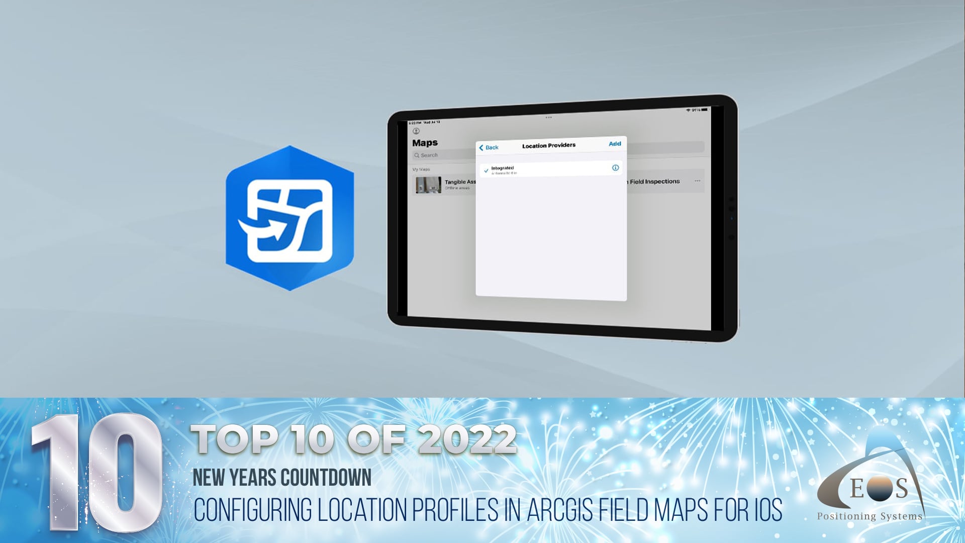
10) Configuring Location Profiles in ArcGIS® Field Maps for iOS®
Each year, we add to our online Knowledge Base with educational content. In “Configuring Location Profiles in ArcGIS Field Maps for iOS,” our team breaks down how to set up your location provider and location profile so that the data you collect is what you expect — and need — to be successful.
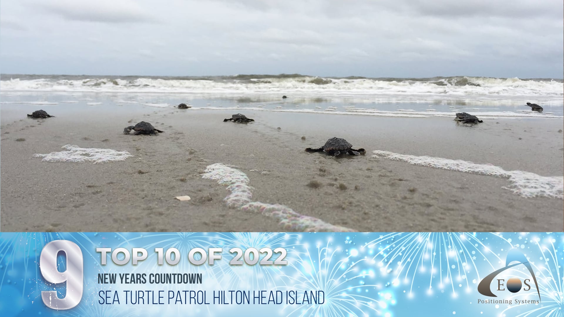
9) Sea Turtle Patrol Hilton Head Island Protects Endangered Hatchlings with High-Accuracy GIS
Even before they hatch, sea turtles face many dangers during their two-month incubation period on shore. Sea Turtle Patrol Hilton Head Island (HHI)’s mission is to protect these eggs so the turtles that hatch from them can go home to the ocean. Earlier this year, Sea Turtle Patrol HHI Director Amber Kuehn shared with Eos how her team of volunteers uses Eos Arrow GNSS receivers and ArcGIS Field Maps to map, monitor, and protect sea turtle nests throughout the island.
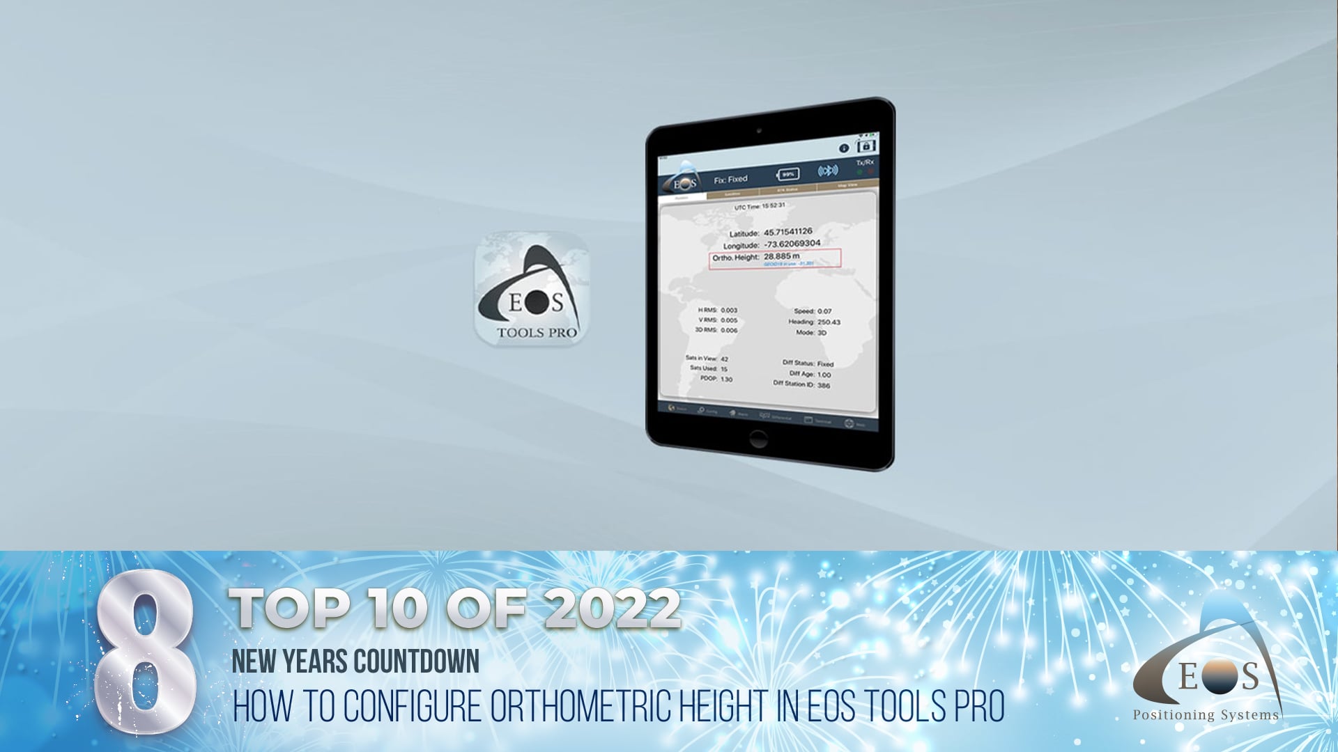
8) Video Tutorial: How to Configure Orthometric Height in Eos Tools Pro
In another popular post from our Knowledge Base, our team demonstrated how to configure orthometric heights in our GNSS monitoring app, Eos Tools Pro. Watch this quick video tutorial to see how. The article also includes a list of all the GEOID models that were available at the time of its publication, organized by region.
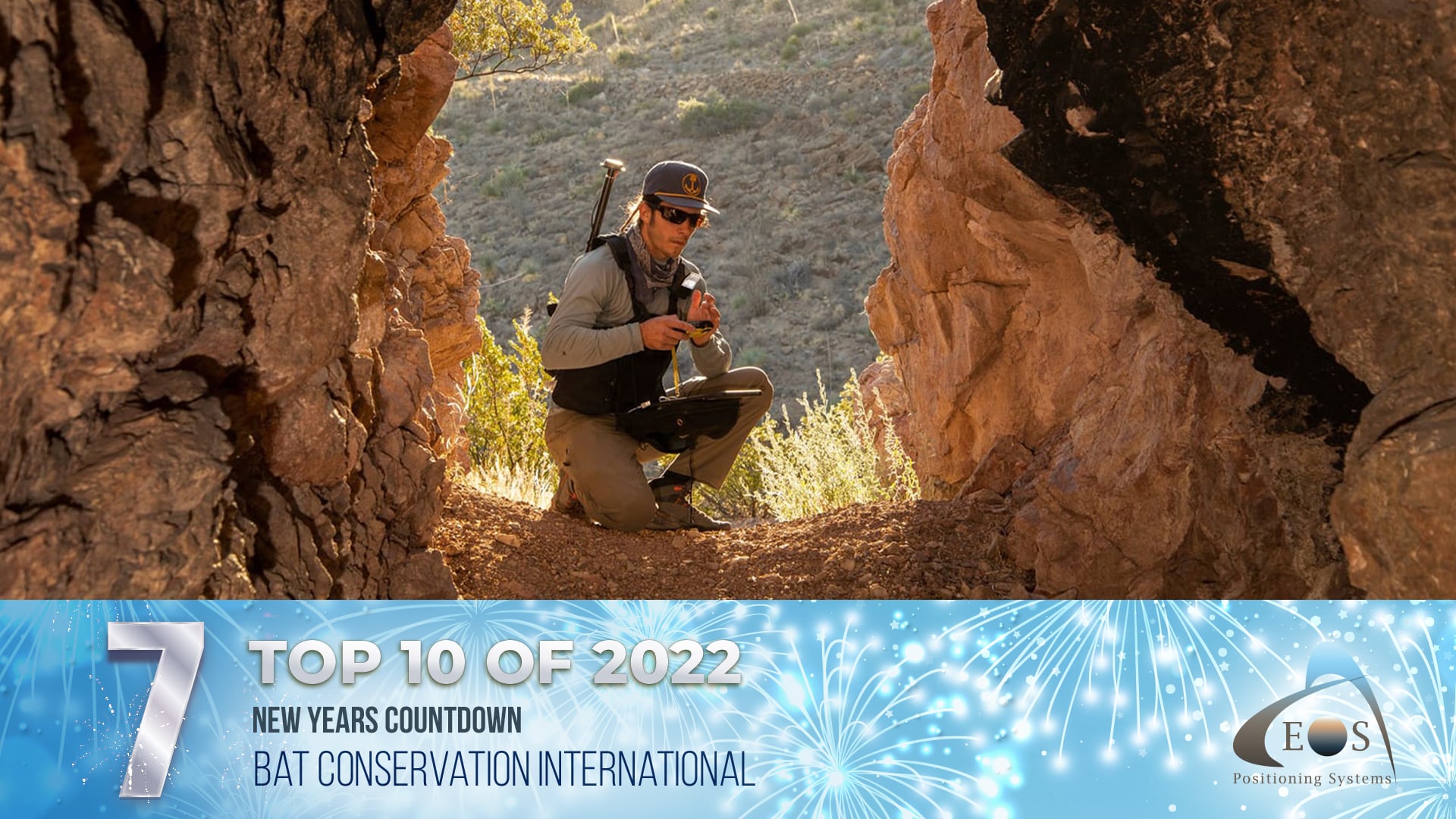
7) Locating Potential Bat Habitats in Abandoned Mines with GIS
Bats are among the world’s most vulnerable wildlife, and the protection of their habitats is crucial. To locate potential habitats, categorize their potential to help foster bat populations thriving, and report back to the agencies that fund their work, Bat Conservation International deployed a high-accuracy mobile mapping workflow. They used Esri ArcGIS apps and Arrow 100® GNSS receivers to survey hundreds of abandoned mines and similar locations.
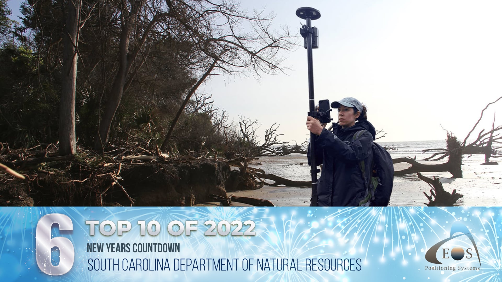
6) Excavating Coastal Cultural Sites Before They Are Lost Forever in South Carolina
The eastern U.S. coast is a rich source of archeological artifacts. The South Carolina Department of Natural Resources is dedicated to excavating as many of these artifacts as they can. But there’s a catch: The coast is eroding so quickly that their task has become a literal race against time.
Using Arrow Gold® and Arrow 100 GNSS receivers along with a variety of ArcGIS apps, archeologist Meg Gaillard monitors coastal erosion. Her goal is to identify sites that should be prioritized for excavation before the land — and the history it holds — is lost forever.
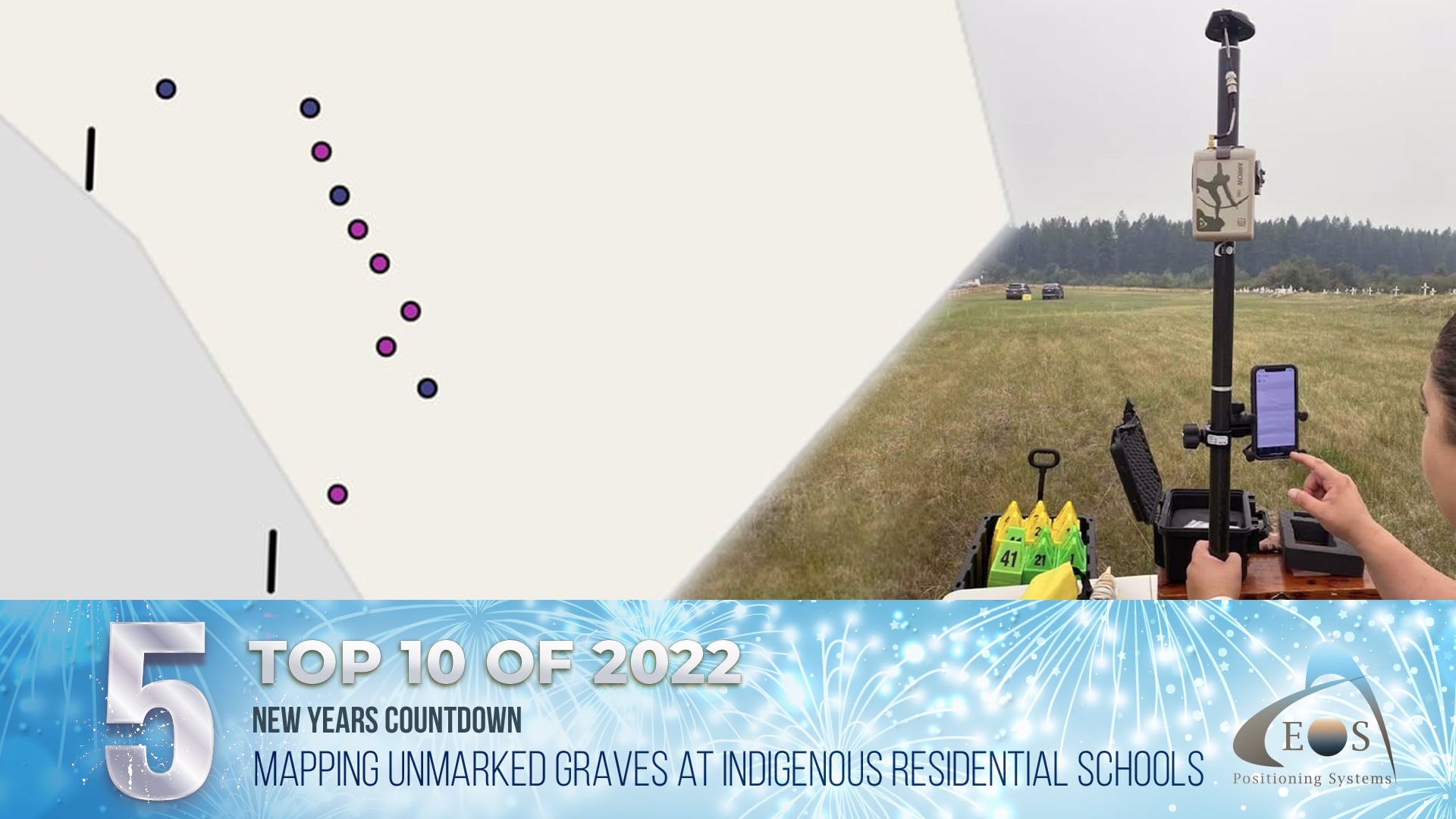
5) Mapping Unmarked Graves at Indigenous Residential Schools
In the 1890s, Canada’s Indian Act mandated Indigenous children attend specific government-sponsored schools. Orally passed down records noted terrible conditions, with many children never returning home. Today, Dr. Sarah Beaulieu is helping communities map unmarked grave sites of some of the children who went to these schools. In this story, Dr. Beaulieu shared with Eos how she uses GPR, GPS, and GIS to ensure the graves are mapped with extreme accuracy, precision, and respect.
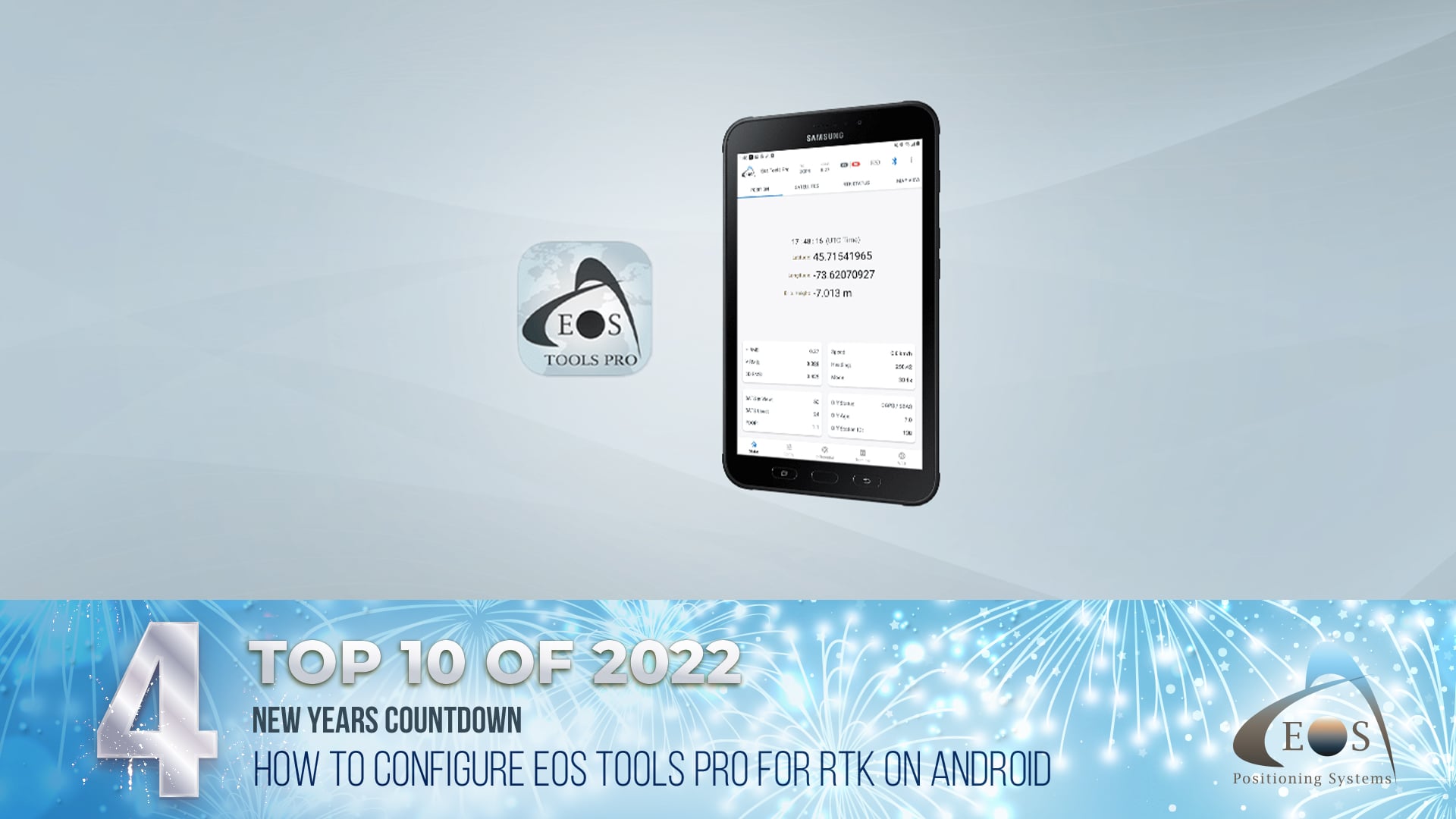
4) How to Configure Eos Tools Pro for RTK on Android
In this article, our team breaks down how you can configure settings in Eos Tools Pro on Android for use with RTK corrections. Learn how to select your settings in the “differential” tab, connect to your RTK network or base station, and more. Helpful screenshots walk you visually through each step.
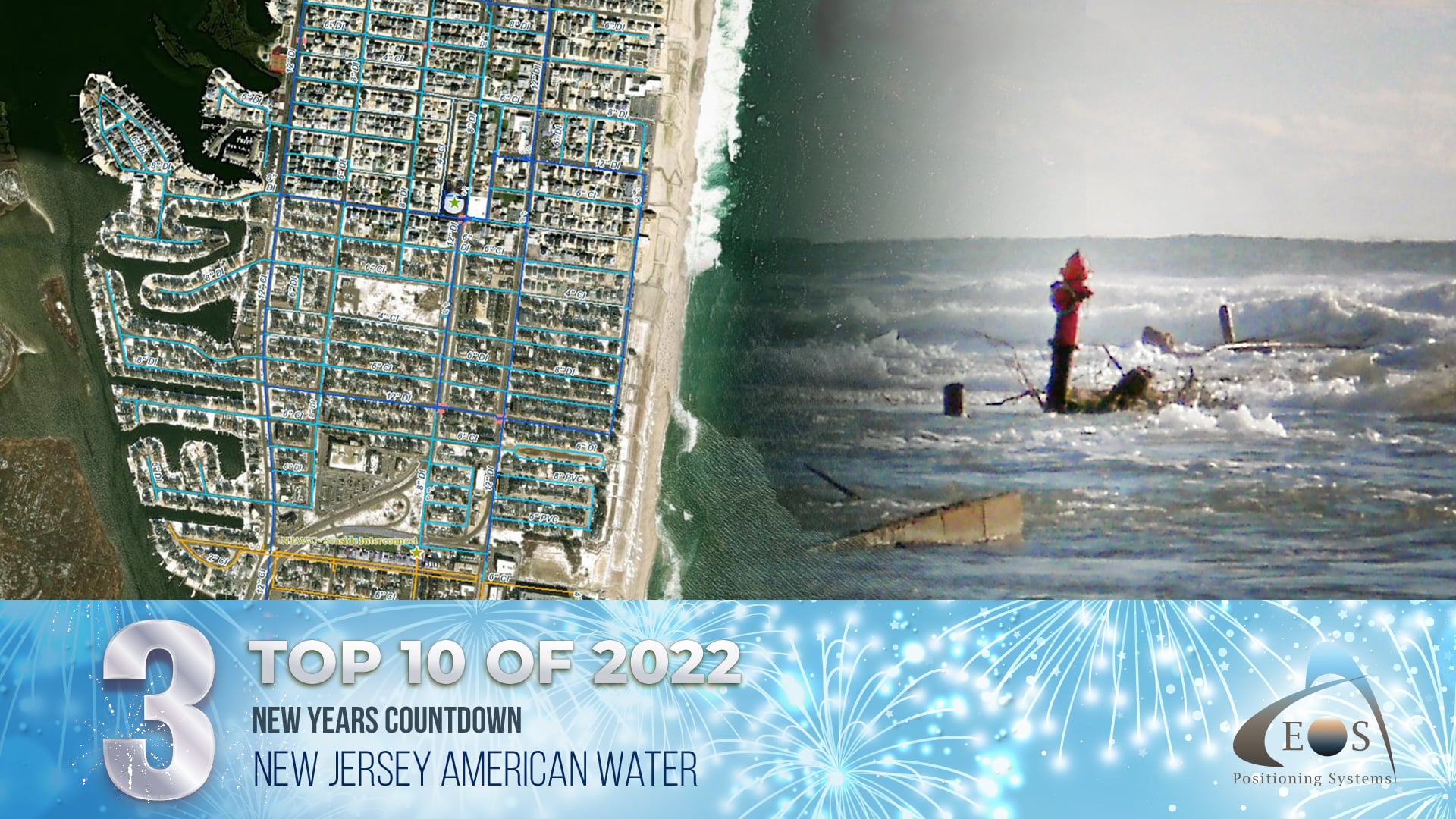
3) New Jersey Water Utility Maps a Million Assets with Sub-Inch Accuracy
When Hurricane Sandy transformed New Jersey, Chris Kahn, Director of UAS and Geospatial Services at American Water, saw the difference having a high-accuracy map makes. Despite the landscape being totally transformed, he was able to locate important assets within seconds of looking. That difference in location accuracy helped prompt New Jersey American Water to greenlight a program to map all of the utility’s assets with sub-inch accuracy. Over the course of years, the utility mapped more than a million assets. The effort paid off. Today, New Jersey American Water estimates they are saving $2.6M per year in operational expenses by having these high-accuracy locations.
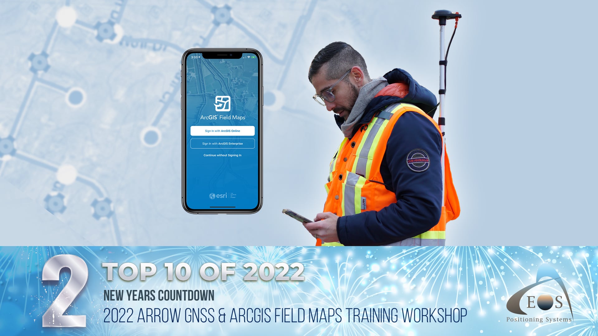
2) 2022 Arrow GNSS and ArcGIS Field Maps Training Workshop
In the continuation of one of our favorite ways to connect with customers online, Eos hosted another virtual workshop with Esri. This time, we showed updates to collecting high-accuracy data within ArcGIS Field Maps. The Q&A was a rich virtual forum that elicited dozens of questions and rich conversation. The workshop recording has since been requested hundreds of times via the below link. See why this was one of our most popular pieces of content of the year by requesting the recording yourself.
(Please note: Using a generic email address domain, such as Gmail.com, instead of a work-specific domain might result in a delay or inability to provide the recording.)
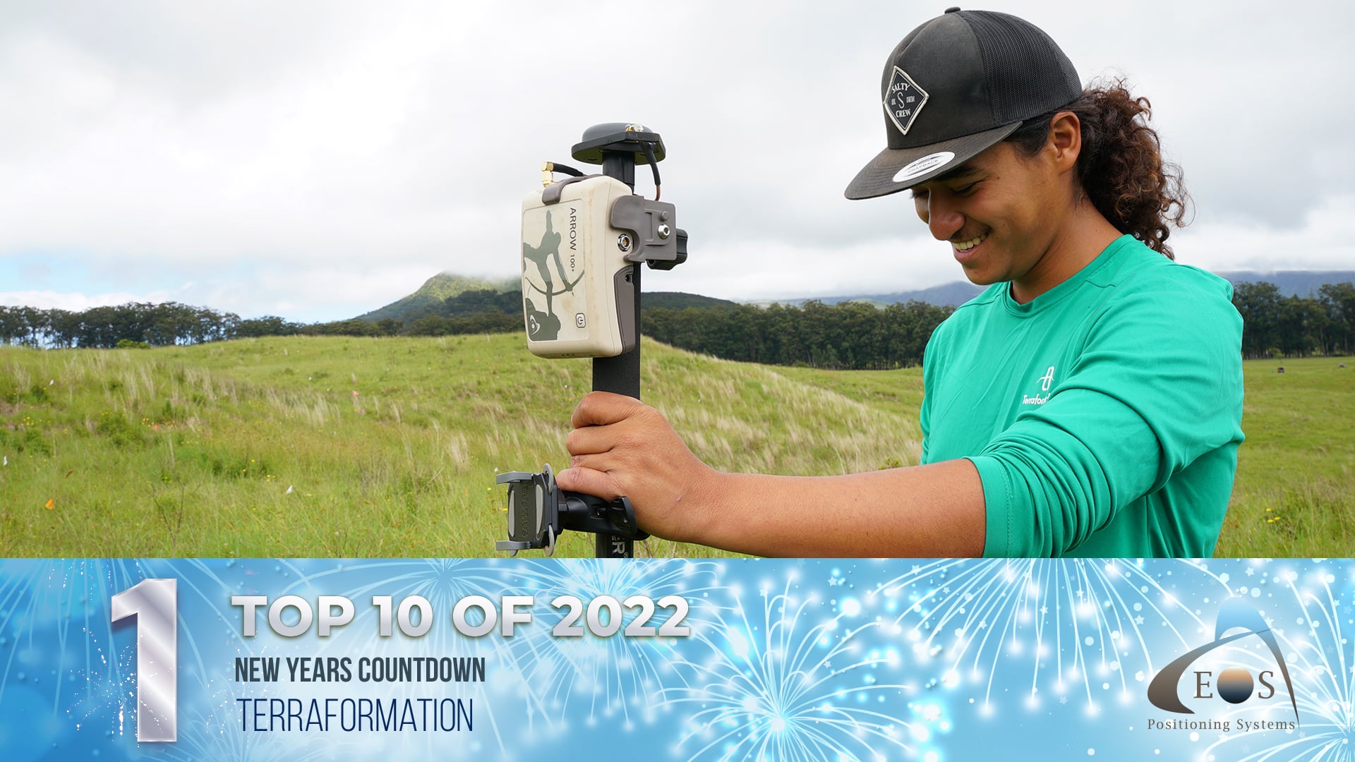
1) Terraformation: Combatting Climate Change with Accurate Accountability
Terraformation is on a mission to sequester carbon from the atmosphere. Based in Hawai’i on the Big Island, their team is reforesting native forests on several pilot-project sites. By mapping each plant digitally, with submeter accuracy, they are able not only to track the progress of what they have planted — but also show investors concrete numbers. See how their team uses an Arrow 100+™ GNSS receiver and Esri’s ArcGIS Field Maps to transform accountability in reforestation.
Or instead of clicking through to the article, watch the video here:
Cheers to more in the new year!
Eos would like to thank you for reminiscing on these posts with us — and for making them as successful as they were. Our team is looking forward to hearing more about how you and people like you are transforming work, and our world, with high-accuracy maps.
To stay updated with our 2023 posts, subscribe to our monthly newsletter here.
Meanwhile, have a happy and healthy new year.

