Are you planning new construction, verifying project progress, surveying as-builts, or a combination of the above? These days, your stakeholders demand accurate geospatial plans, transparent updates, and high-confidence as-builts — with a turnaround time of yesterday. At Eos Positioning Systems, we offer real-time, external GNSS receivers that support any geospatial software you use. This means that no matter what applications you use in the field, Eos GNSS receivers will simply Bluetooth®-stream your survey-grade accuracy to it. Moreover, you can use any mobile device you like, including iOS®, Android™, and Windows®. In addition to providing this reliability and flexibility, Eos also offers free solutions to support advanced data-collection workflows, such as laser mapping and underground utility-mapping (with partner technologies). Discover why AEC firms are choosing Eos GNSS receivers to save time with surveying while performing field work with greater ease and confidence.

Variety of Accuracy Options
Whether you need RTK or base station compatibility, support for all GNSS constellations and frequencies (including IRNSS, QZSS, Galileo HAS), or out-of-the-box 60cm accuracy, we’ve got a solution. Contact our team to talk about your needs.
Contact Our Team >
Complete Flexibility
Our GNSS receivers are device- and app-agnostic, giving you complete autonomy over the software and devices you choose. There is no subscription requirement for using any of our models.
Browse GNSS Hardware >
Advanced Data Collection
Do you use a bulky total station? Do you struggle to map underground assets? Learn more about the free laser-mapping and buried-utility-mapping solutions included with your receiver.
Explore GNSS Solutions >
Fostering AEC Success
Browse our AEC case studies to learn how others like you are saving time and money, improving project management, and making clients happier with Eos technology.
Read AEC Stories >
Rugged and Flexible for Any Job Site
Job sites can be unpredictable, hard to reach, and full of GNSS obstructions. That’s why Eos GNSS receivers are designed to be rugged enough to go anywhere a human can — and flexible enough to work on a pole, with a laser rangefinder, and even in remote and disconnected environments. With the flexibility to retain high accuracy for up to 20 minutes even when GNSS signal is lost (called SafeRTK®) and an all-day, field-replaceable battery, your GNSS receiver will work as long as you do. Moreover, all Eos GNSS receivers are lightweight and compatible with a variety of field-gear setups. And if any question comes up, our technical support team is available to address your needs. Contact our team today to start your journey toward a high-performance GNSS solution.
 1")
Architecture, Engineering, and Construction Professionals Using Eos GNSS
Featured Success Story
 10")
Customer Spotlight: David Malm Empowers Clients with Accuracy at Bolton & Menk
David provides community infrastructure solutions to municipalities using high-accuracy GNSS and GIS technologies.
More InfoEven More Related AEC GNSS Case Studies
 11")
Managing a construction site with UAVs, GNSS and web GIS
See how stakeholders in Texas benefitted from real-time UAV data captured and shared using ArcGIS Drone2Map, ArcGIS Online, and Eos GNSS receivers.
 12")
Customer Spotlight: Chris Kahn, with Eos from the beginning
Customer Spotlight: Chris Kahn was one of Eos’ earliest customers and has found a sweet spot of efficient CAD, GIS, GNSS, and UAV field work.
 13")
DDSI Increases Profit Margins with GNSS Laser Mapping
Denver’s DDSI maps utilities in tough-to-reach areas with Eos Laser Mapping for ArcGIS Field Maps during construction design phases.
 14")
Capturing Hard-to-reach Assets with Decimeter Accuracy
In this Esri AEC webinar, DDSI Global shares how per-project ROI increased by 20% thanks to the use of Eos Laser Mapping for Collector during site surveys.
 15")
Ports of Auckland Demonstrates Arrow Gold with ArcGIS
Ports of Auckland uses Eos Arrow Gold RTK receiver with Esri Collector to verify port construction is being performed according to designs, down to the cm.
Efficiently Capturing High-Accuracy New Pipe Construction [A 2022 Esri UC Presentation]
Minnesota-based Ellingson Companies provides gas utilities with real-time as-builts that are captured with centimeter-level accuracy.
 17")
Transforming Campus Facility Management with GIS: Site Plans – ArcGIS Meets AutoCAD [An Esri UC Session]
Can high-accuracy GNSS and GIS integrate with CAD? Discover how in this recorded 2022 Esri UC presentation.
 18")
Customer Spotlight: Gideon Simons Conducts Confidence in Rail Mapping at Arcadis
Discover how Gideon improves data collection on railways projects using real-time, high-accuracy GNSS solutions.
What AEC Professionals Say About Eos
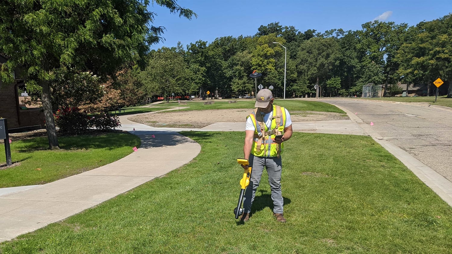
AEC Professionals in Action with Eos GNSS Receivers


Recommended GNSS Hardware and Software for AEC Uses
 19")
 21")
 23")
 25")