Experts answer questions about datum transformations, RTK, ArcGIS Field Maps and more in Part 1 of Q&A from our October 2022 workshop.
Experts answer questions about datum transformations, RTK, ArcGIS Field Maps and more in Part 1 of Q&A from our October 2022 workshop.
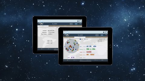
Our panelists answer questions about datum transformations, RTK, ArcGIS Field Maps and more in this Q&A from our recent workshop.
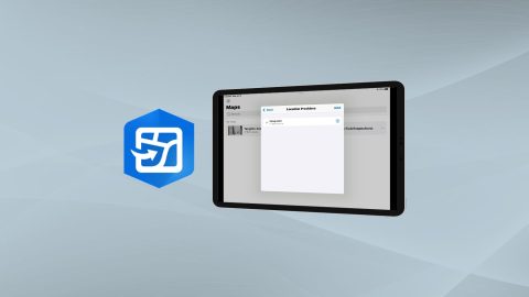
Learn how to configure location provider and location profile in ArcGIS Field Maps for Arrow GNSS receivers.
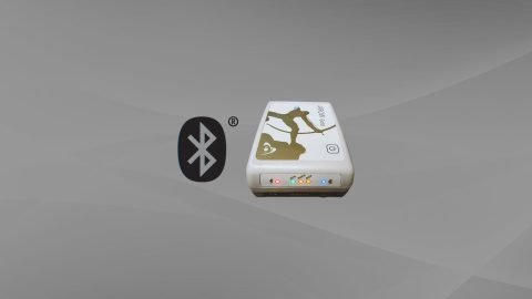
Want to use external Bluetooth® GPS receivers in your work, but not sure where to start? Eos has compiled five resources to help you get started on your journey.
What do “SBAS,” “RTK,” “GNSS” and other GPS terms stand for, and what is their significance? This article explains important GNSS acronyms.
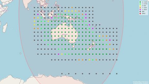
The Australia-New Zealand SBAS is among the most advanced (dual frequency, multi-constellation, PPT). History and performance are reviewed in a guest post.
What is SBAS? In this article, discover how to get real-time submeter differential corrections for free, and where it’s possible.
This article shows you how to use the four constellations for sub-meter GNSS mapping with Arrow. Using GPS, Glonass, Galileo, and BeiDou increases accuracy.

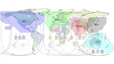
This article gives you an overview of the available global SBAS systems, as well as their coverage areas and what accuracy to expect.