Eos Tools Pro is the free iOS app that helps you monitor high-accuracy location in the field. See your DOP, RMS values, PDOP, and more in real time.
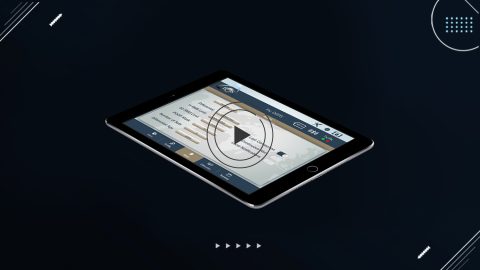
Eos Tools Pro is the free iOS app that helps you monitor high-accuracy location in the field. See your DOP, RMS values, PDOP, and more in real time.
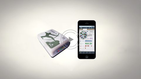
This video walks you through how to pair Arrow Series® receivers with iOS devices using Bluetooth. You’ll need your iPhone or iPad and Arrow GNSS receiver.
For iOS and Bluetooth™ to be useful together, an accessory (like the high-accuracy Arrow GNSS receiver) and a device (e.g., a tablet) must support in common one of Bluetooth’s standard profiles.
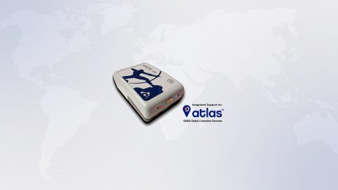
Atlas™ is a worldwide GNSS differential correction service, offering the most innovative base station-free corrections via L-Band satellites at accuracies ranging from meter level to a few centimeters. The Eos Arrow Gold GNSS provides worldwide decimeter positioning to your device.
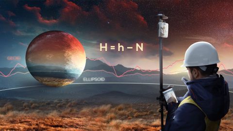
This article shows you how to set up Eos Tools Pro to collect survey-grade orthometric heights in real time with ArcGIS Collector.