Wondering how to know if your mobile device GNSS accuracy is correct? This article will break down common issues and how to fix them on iOS or Android.

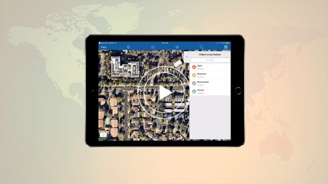
Learn how to create your ArcGIS organizational account, build & share web maps, collect & edit features and attributes in Collector, and use your Arrow GPS.

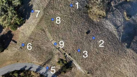
In this article, we show you how to generate accurate orthomosaics and DEMs by setting up just 5 ground control points (GCPs) and using Site Scan Manager.

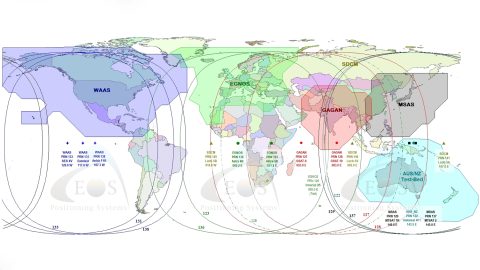
This article gives you an overview of the available global SBAS systems, as well as their coverage areas and what accuracy to expect.

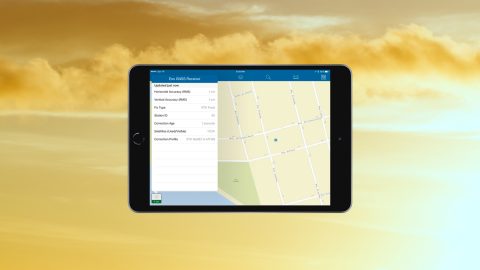
In this article we show you how to get high-accuracy locations, including submeter and cm data, with your Arrow GNSS receivers on any iPad or iPhone.