In this second Eos Laser Mapping video, you’ll learn how to set up Collector and Eos Tools Pro for laser offsets. Set alarms, orthometric height and more!
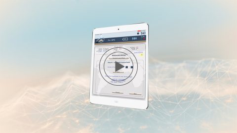
In this second Eos Laser Mapping video, you’ll learn how to set up Collector and Eos Tools Pro for laser offsets. Set alarms, orthometric height and more!
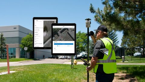
The Laser Offset Guide for Collector is intended to help you configure ArcGIS Collector® and Eos Tools Pro so you can begin to capture laser offsets.
Learn to record orthometric heights in Collector Aurora. Follow along with written resources, screenshots and video tutorial in this article.
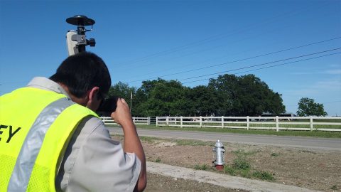
In this 3-minute tutorial, you’ll learn how to collect geoid height with Arrow in real time by configuring Eos Tools Pro and ArcGIS Collector.
From setting up attributes to configuring Collector and Eos Tools Pro, get ready to learn how to Configure ArcGIS, ArcGIS Collector, and Eos Tools Pro.
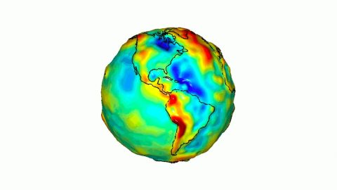
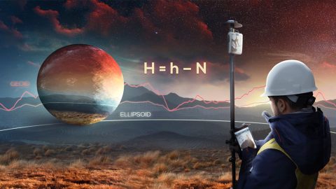
What is the difference between the ellipsoid, mean sea level, geoid, geoid height, and orthometric height? Here’s everything to know about elevation.
This article shows you how to set up Eos Tools Pro to collect survey-grade orthometric heights in real time with ArcGIS Collector.