This MDM guide will walk you through how to configure common Eos Tools Pro settings for multiple field workers across an organization. Includes sample code.
This MDM guide will walk you through how to configure common Eos Tools Pro settings for multiple field workers across an organization. Includes sample code.
Follow this article to create an ArcGIS web map from scratch with the correct settings for Eos GNSS receivers and related metadata.
Experts answer questions about datum transformations, RTK, ArcGIS Field Maps and more in Part 1 of Q&A from our October 2022 workshop.
Our panelists answer questions about datum transformations, RTK, ArcGIS Field Maps and more in this Q&A from our recent workshop.

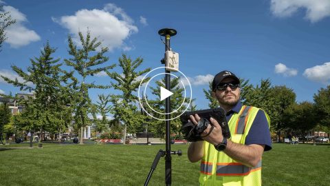
Learn how to verify your GNSS receiver’s performance by using a survey monument in this video.
Want to use external Bluetooth® GPS receivers in your work, but not sure where to start? Eos has compiled five resources to help you get started on your journey.
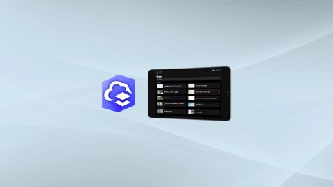
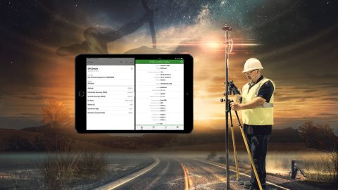
Run multiple Esri mobile apps on Android while concurrently consuming Arrow GNSS location metadata. This guide will show you how (for Android only).

Everything from elevation, datum shifts and base stations to ArcGIS setup and ArcGIS Field Maps is coverd in this mobile GIS workshop Q&A.
Michael Cousins explains OHM Advisor’s best practices for evaluating field GIS technology, including software, hardware and staff training.
Run multiple Esri mobile apps on iOS while concurrently consuming Arrow GNSS location metadata. This guide will show you how (for iOS only).