Feature Story
/// Sea Turtle Patrol Hilton Head Island Protects Endangered Hatchlings with High-Accuracy GIS
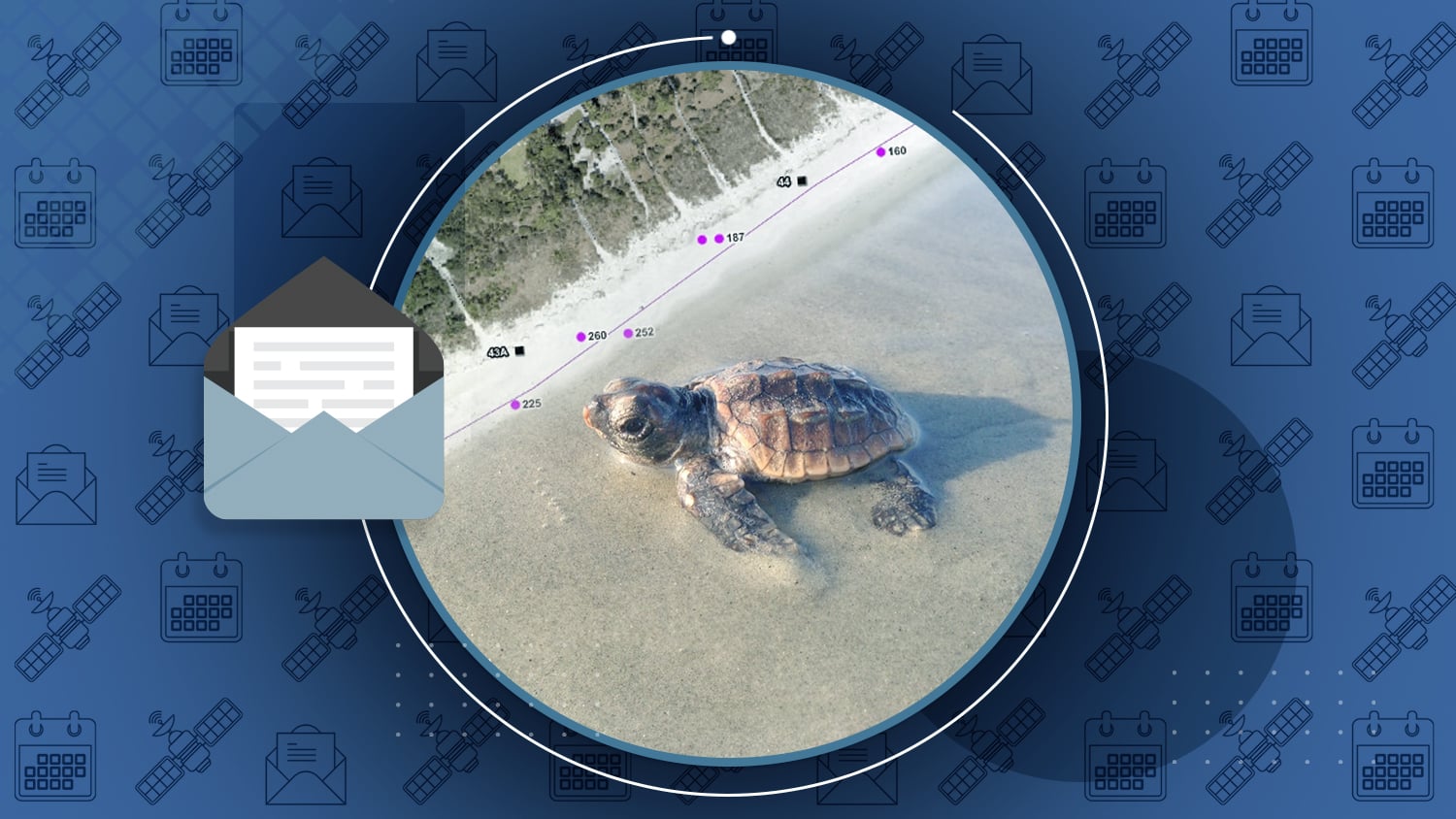
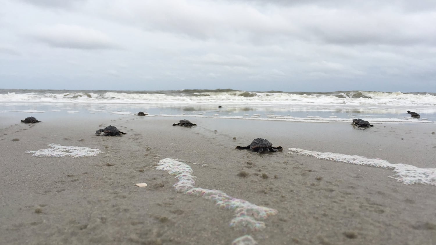
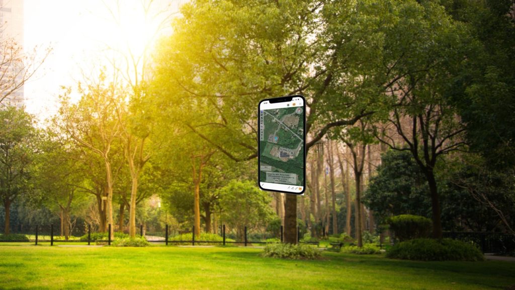
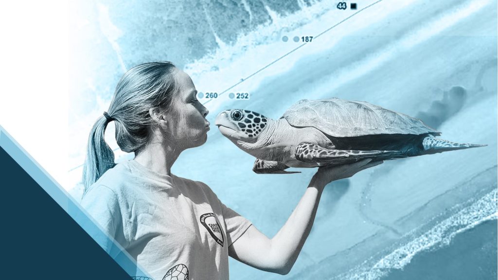
Even before they hatch, sea turtles face many dangers during their two-month incubation period on shore. Read how Sea Turtle Patrol Hilton Head Island uses Eos Arrow receivers with #ArcGISCollector to protect these endangered hatchlings and help them go home to the ocean!
Read their full story (originally published in Esri’s ArcWatch) >
Industry News
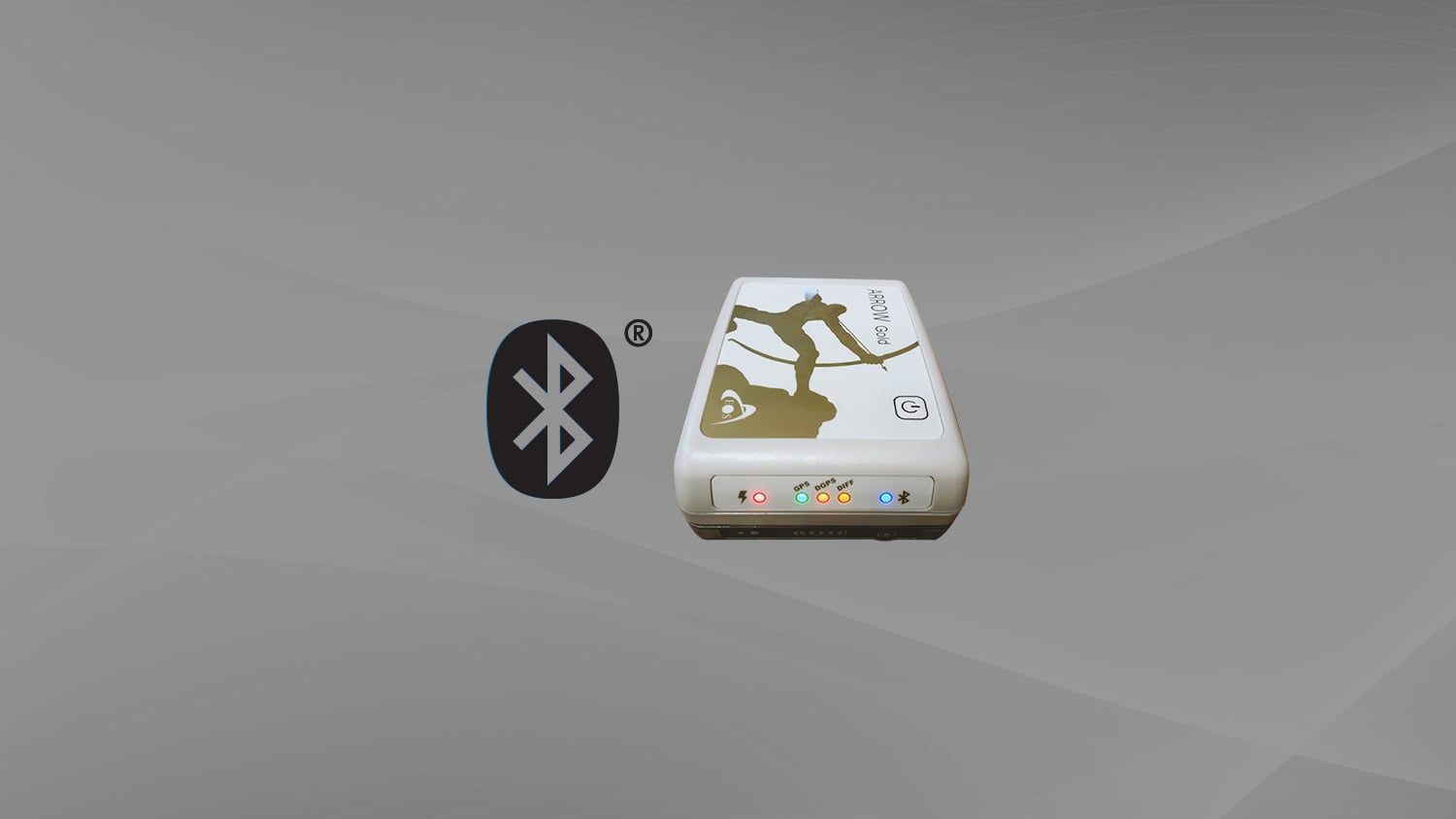
Five Resources to Get You Started with External Bluetooth® GPS Receivers
New year, new you! Start the year out strong with these five resources on high-accuracy data collection. With technical articles, educational videos, inspiring case studies, and more, this Eos knowledge base post will help you begin your GNSS journey.
Al’s Corner: Technical Tips
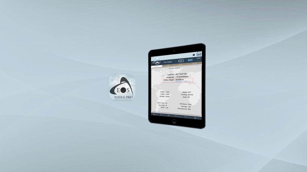
Video Tutorial: How to Configure Orthometric Height in Eos Tools Pro
This quick video shows you how to configure elevation heights in Eos Tools Pro. It also includes a complete list of currently available GEOID models by region/nation.
Eos Welcomes Global Mapper by Blue Marble Geographics in January
Eos is pleased to welcome Global Mapper to the Eos website as an official supported partner app.
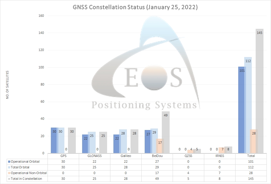
Current GNSS constellation status for January 25, 2022:
Customer Spotlight
Customer Spotlight: Amber Kuehn Uses High-Accuracy Maps to Protect Endangered Sea Turtle Nests
The moment Amber Kuehn first laid eyes on a sea turtle, she knew she would be spending her life advocating for them. Dive deeper into this month’s featured case study by learning how Amber uses Eos Arrow GNSS receivers and ArcGIS apps to protect this endangered species.
Upcoming Events
Eos Has a New Address!
February 1, 2022
Eos Positioning Systems is moving this month! We are pleased to announce that our headquarters has moved to a larger office to accommodate meetings and larger production. Our new address is:
1181, rue de l’Express
Terrebonne QC J6W 0A2
Canada
You can also still contact our team via our web forms online and by phone.
Contact Eos >

