Real-time Submeter GNSS Receiver Worldwide
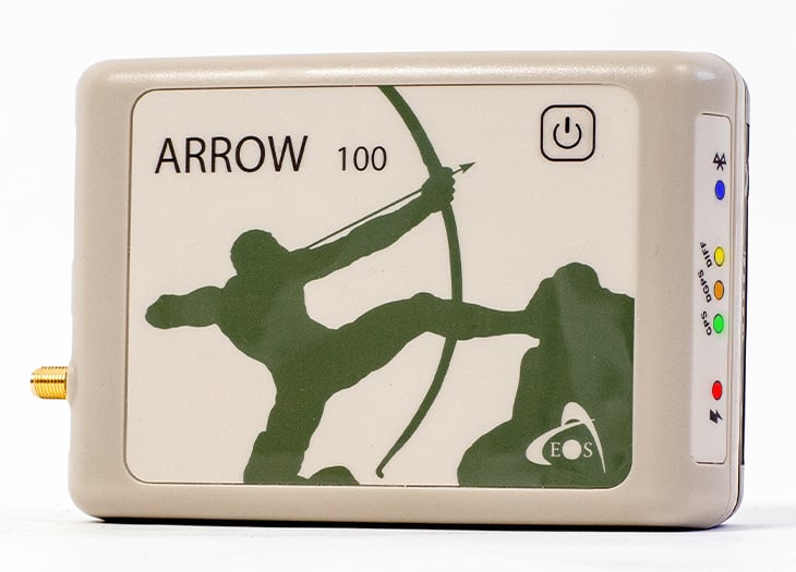
The Arrow 100® is a submeter, multi-constellation GNSS receiver designed to be used with any iOS®, Android, or Windows device. When GPS satellites are just not enough, the Arrow 100® connects to GLONASS, Galileo, and BeiDou signals — creating access to at least 100 satellites! This uniquely designed GNSS receiver squeezes more accuracy from free SBAS corrections than any other receiver in the world. With its use of patented technology, the Arrow 100® delivers superior accuracy and performance under trees, around buildings, and in rugged terrain. Accurate positioning occurs in real time, with no post-processing required. The Arrow 100® was designed specifically with GIS users in mind.
Accurate, Optimized, Flexible
Submeter GNSS Receiver
The Arrow 100® provides submeter accuracy worldwide thanks to its unique use of free SBAS, paid Atlas® and optional RTK differential corrections.
Excellent Performance
The Arrow 100® is optimized to provide the highest accuracy possible in tough conditions, including in canopied and cityscape environments.
Full Flexibility
The Arrow 100® streams its submeter GNSS location data into any mapping or data-collection app on any mobile device (iOS, Android, Windows).
What Do You Get with the Arrow 100® GNSS Receiver?

What’s Included?
Open the box of your new favorite submeter GNSS receiver!
The Arrow 100® GNSS receiver is a complete submeter positioning kit. The standard purchase includes everything you need to begin streaming submeter location data to your mobile device:
- Arrow 100® GNSS receiver
- Arrow 100® antenna
- Antenna cable (1.5 m)
- Soft hat for antenna
- Belt/Shoulder carrying case
- LI-Ion battery pack (field replaceable battery)
- 12VDC power supply
- USB cable
- Access to Eos Tools Pro
Watch this unboxing video to see what’s included with your Arrow 100® GNSS receiver.
What Accuracy and Flexibility look like with the Arrow 100®
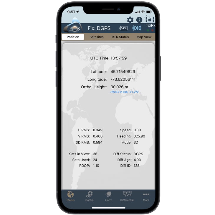

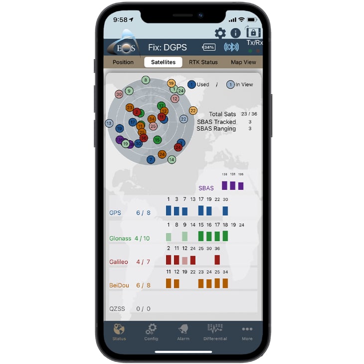
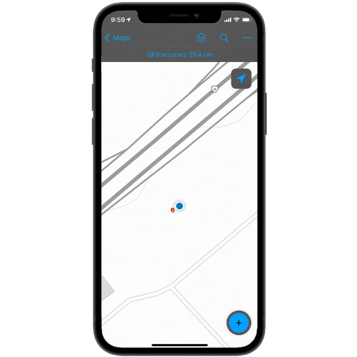
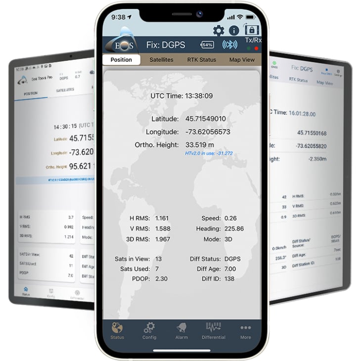
- Submeter accuracy with SBAS
- Access all GNSS constellations
- Compatible with any data-collection app
- Compatible with all mobile devices
Choose a Differential Correction Source
SBAS
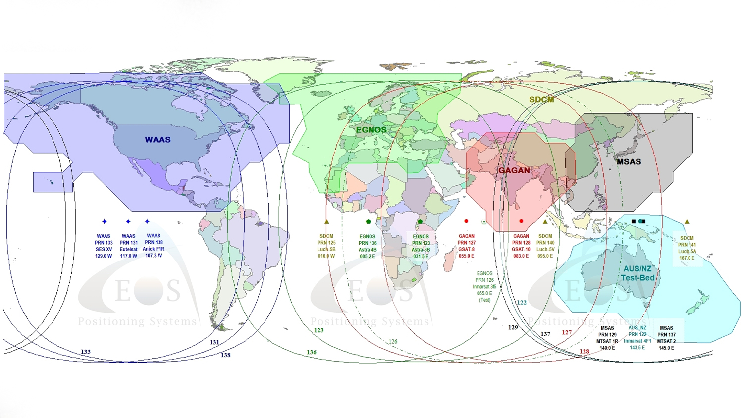
The Arrow 100® GNSS receiver provides 60 cm horizontal accuracy with any free SBAS system worldwide, including: WAAS, EGNOS, MSAS, GAGAN and SouthPAN.
Atlas® H50 Service (Arrow 100+™ Only)
The Arrow 100+™ can be used with an Atlas® H50 subscription service worldwide when no SBAS is available. Accuracy with Atlas® H50 is 30 cm (HRMS).
RTK Network
The Arrow 100® also features the ability to be used with single-frequency RTK. Achieve 1 cm accuracy when your baseline is less than 10km (6 miles).
What is SBAS?
SBAS stands for Satellite Based Augmentation System. An SBAS provides a free source of corrections to augment GNSS (positioning) signals. SBAS are usually developed with the investment of a government, a government department, or groups of governments, such as the European Union. An SBAS-compatible GNSS receiver, such as the Arrow 100®, receives and processes these free submeter differential corrections in real time, resulting in live submeter positioning with no post-processing required. The Arrow 100® supports all worldwide SBAS, including WAAS in North and Central America, EGNOS in Europe and northern Africa, GAGAN in India, MSAS in Japan, and SouthPAN in Australia/New Zealand.
Explore the Arrow 100® in 3D
Bring the Arrow 100® to life on your screen. Click the play button to interact with the Arrow 100® in 3D. Select any numbered button to access helpful tips about this submeter GNSS receiver.
Want Even More Features? Consider the New Arrow 100+™
Customers considering the Arrow 100® GNSS receiver can now choose between the standard Arrow 100® (standard model) and the more advanced Arrow 100+™ (plus model). The Arrow 100+™ includes all the same features of the standard Arrow 100® GNSS receiver. However the plus model also includes support for Atlas® H50, longer battery life, and support for multiplexing and multipoint. Keep reading to learn more about each feature.
Please note: Existing Arrow 100® GNSS receivers cannot be upgraded to the new Arrow 100+™ model.
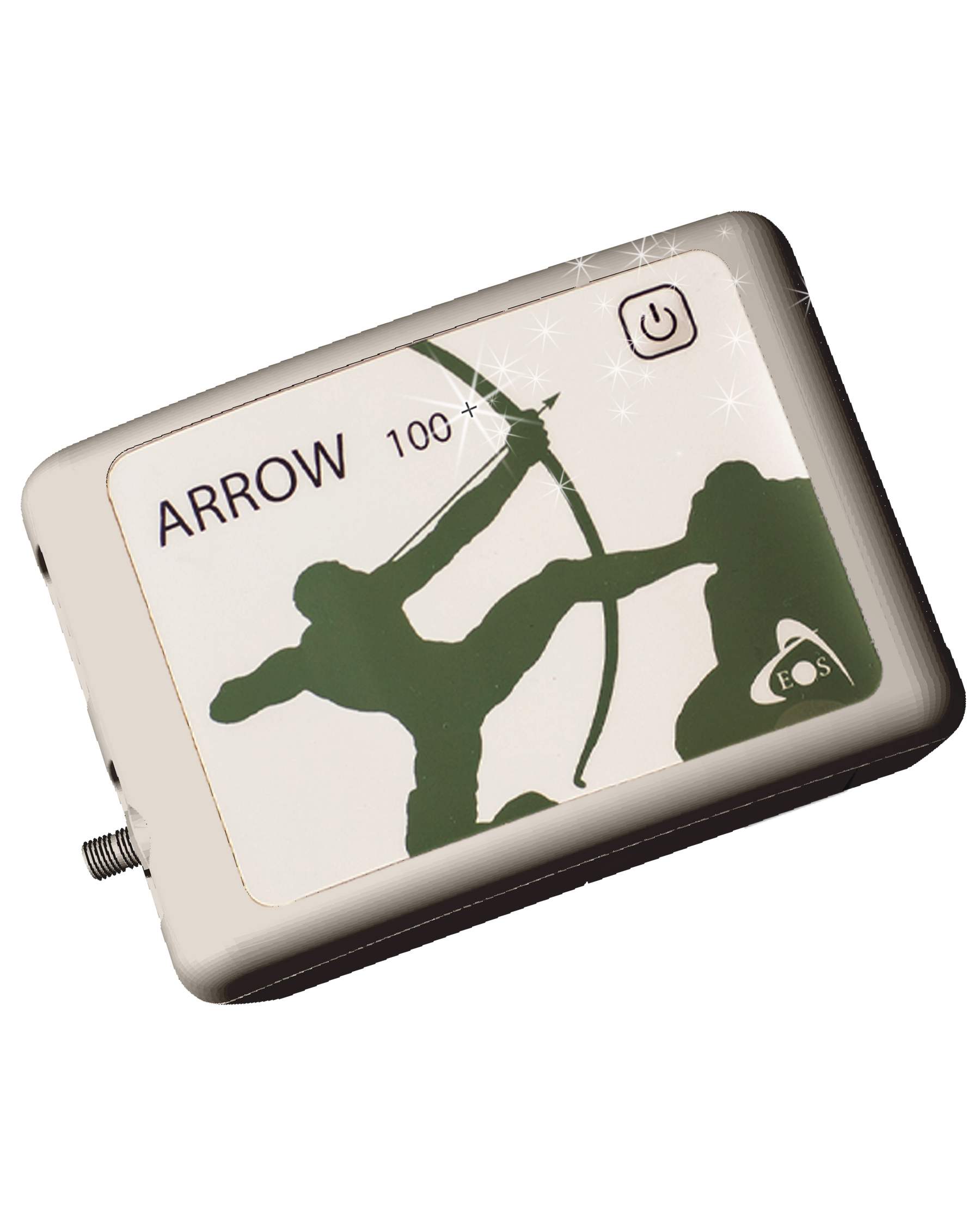
Supports Atlas® H50 Service
Atlas® H50 service provides 30 cm (one foot) estimated horizontal accuracy anywhere in the world, even when no SBAS or RTK network is available.
Longer Battery Life
The Arrow 100+™ offers 18 hours of battery autonomy, up from 12 hours with the standard Arrow 100®.
Multipoint
The new multipoint feature allows you to connect your GNSS receiver to more than one device simultaneously, such as an iPad® and an Android phone.
Multiplexing
The Arrow 100+™ has the functionality of the Eos Bridge™ Bluetooth® connector built in. Connect your Arrow 100+™ to any third-party sensor (e.g., laser rangefinder), and the Arrow 100+™ will stream the content of that sensor to your iOS or other mobile device via its datastream.
At a Glance: Compare Arrow 100® and Arrow 100+™ Models
For more information detailing the differences between the Arrow 100® (standard model) and Arrow 100+™ (plus model) GNSS receivers, we encourage you to read this FAQ article comparing the models:
Arrow 100® and Arrow 100+™ Technical Specifications
Receiver Type
- GNSS multi-frequency with carrier smoothing
- 158-Channel, Parallel Tracking
GNSS Signals Received
- GPS: L1
- GLONASS: G1
- Galileo: E1
- BeiDou: B1
Accuracy
- SBAS (worldwide) Accuracy: < 30 cm HRMS1 , < 60 cm 2dRMS
- Atlas® H50 Accuracy: 30 cm HRMS+
SBAS Details
- 3-Channel, Parallel Tracking (with SBAS ranging)
- Update Rate: 1 Hz default, optional 10 Hz or 20 Hz
- WAAS (North America)
- EGNOS (Europe)
- MSAS (Japan)
- GAGAN (India)
- SouthPAN (Australia / New Zealand)
Exclusive to Arrow 100+™
- Atlas® H50 (Basic): 30 cm HRMS+
- Longer battery: 18 hours per charge+
- Multiplex feature: Eos Bridge™ functionality built in+
- Multipoint support: Connect one Arrow 100+™ to multiple mobile devices simultaneously+
Bluetooth® Communication
- Fully Bluetooth® Pre-Qualified: Bluetooth® 2.1 + EDR
- Supported Bluetooth® Profiles: SPP, iAP, Multi-point+
- Bluetooth® Transmission: Class 1, 300 m typical range2 (up to 1 km)
- Bluetooth® Frequency: 2,400-2,485 GHz
- Data I/O Protocol: NMEA 183, RTCM SC-104, Binary
- Port: Bluetooth®, USB 2.0, Serial (optional)
Device Compatibility
- iPhone® and iPad
- Android smartphones and tablets
- Windows, Windows Mobile
Arrow Receiver Power
- Battery Type: Field Replaceable, Rechargeable Lithium-Ion Pack (rechargeable inside unit or separately)
- Battery Capacity Arrow 100®: 12 hrs3
- Battery Capacity Arrow 100+™: 18+ hrs3+
- Charging Time: 4 hrs (vehicle charger available)
LED Status Indicators
- Power
- GNSS
- DGNSS
- DIFF
- Bluetooth®
Environmental Details
- Operating Temperature: -40°C to +85°C (-40°F to +185°F)3
- Storage Temperature: -40°C to +85°C (-40°F to +185°F)
- Humidity: 95 % Non-Condensing
- Compliance: FCC, CE, RoHS and Lead-Free
Mechanical Details
- Enclosure Material: Xenoy
- Enclosure Rating: Waterproof, IP-67
- Immersion: 30 cm, 30 minutes
- Dimensions: 12.5cm x 8.4cm x 4.2cm (4.92″ x 3.3″ x 1.65″)
- Weight: 372 g (0.82 lbs)
- Data Connectors: Mini USB type B receptacle
- Antenna Connector: SMA female
Antenna Details
- Gain (without cable): 26 dB (± 2 dB), 35 mA
- Voltage: +4,5 to +15 VDC
- Impedance: 50 Ω
- Dimensions (mm): 5.7cm diam. x 1.5 cm (2.24 x 0.59 in.)
- Weight: 97 g (0.21 lbs)
- RF Connector: SMA female
- Operating Temperature: -55°C to +70°C (-67°F to +158°F)
GNSS Receiver Specification Footnotes:
- Depends on multipath environment, number of satellites in view, satellite geometry, baseline length (for local services) and ionospheric activities. Convergence time for single frequency is highly dependent on the distance to the base station and the number of constellations/satellites supported by the base station
- Transmission in free space
- Lithium-Ion battery performance degrades below -20°C (-4°F)
- +Indicates item applies only to Arrow 100+™ (plus model)
Featured Arrow 100® Case Studies
Terraformation: Combatting Climate Change with Accurate Accountability
Learn how Terraformation is combatting climate change by using high-accuracy GNSS / GIS to increase accountability for global reforestation projects.
More InfoWisconsin Municipal Electric Utility Simplifies Asset Management and Data Collection
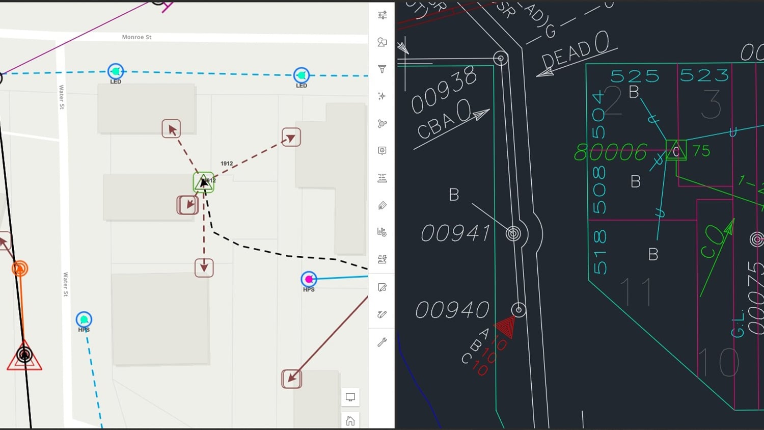
By modernizing its GNSS technology, Sheboygan Falls Utilities overcame challenges posed by decades-old as-built data.
More InfoSlipping Seaside: Preserving Florida’s Past By Mapping Erosion with GNSS
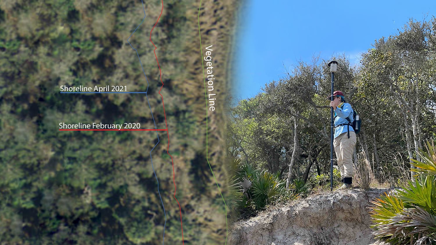
FPAN archaeologists and volunteers map historical sites and coastal erosion (in 3D!) to quantify erosion rates as Florida's sea levels rise.
More InfoWhat Customers Say about the Arrow 100®
Images from the Field: Arrow 100® in Action
Resources for Current Arrow 100® Customers
Get Started
Ready to get started with your new Arrow 100® GNSS receiver? Follow along with this Arrow Quick Start Guide to power on, Bluetooth® pair, and mount your Arrow 100® GNSS receiver.
Check Your Firmware
The latest firmware for the Arrow 100+™ is 6.1Aa01 and for the Arrow 100® is either 6.0Aa01 or 6.1Aa01, depending on your serial number. Check your firmware version in the “About” menu of Eos Tools Pro, then check against your serial number if needed. If your firmware is not of the latest version, please contact our technical support team for instructions on how to upgrade your firmware.
Browse Resources
A variety of informative articles, how-to guides, and video tutorials are available in the Eos Knowledge Base. Browse content to make sure you’re getting the most out of your GNSS receiver.


