Partner App: ArcGIS Collector

  • Home
  • Archive for "ArcGIS Collector"
  • Page 2

2020 Esri and Eos Mobile GIS Workshop: Panel Q&A Responses

Esri and Eos Mobile GIS GPS GNSS Workshops ArcGIS

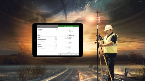
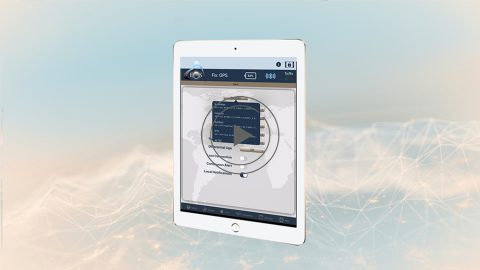
Everything from elevation, datum shifts and base stations to ArcGIS setup and ArcGIS Field Maps is coverd in this mobile GIS workshop Q&A.

How to Use Multiple ArcGIS Apps on iOS® Concurrently with Arrow

ArcGIS Collector, Field Maps, offline, data collection, field, mobile mapping, water utility, Arrow GNSS GPS

Run multiple Esri mobile apps on iOS while concurrently consuming Arrow GNSS location metadata. This guide will show you how (for iOS only).

Eos Locate™: How to Map Underground Utilities with ArcGIS

Eos Locate™- How to map underground utilities with ArcGIS Esri GPS GIS GNSS Collector Field Maps Eos Tools Pro buried assets

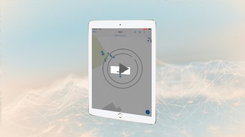
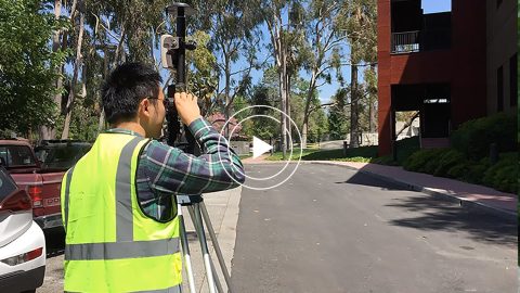
In the fifth and final Eos Locate tutorial, you’ll learn how to collect underground assets with Eos Locate outdoors with a recorded demonstration.

Eos Locate™: How to configure settings for ArcGIS Collector

Eos Locate™- How to configure settings for ArcGIS Collector Esri GPS GIS GNSS

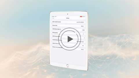
In video 4 of the Eos Locate underground mapping tutorials, you’ll learn how to configure mobile app settings for Eos Locate and ArcGIS Collector.

Eos Locate™: How to Pair Your vLoc Utility Locator to iOS® via Bluetooth®

Eos Locate™- How to configure settings in Collector and Eos Tools Pro GPS GIS GNSS Esri Collector Field Maps Eos Tools Pro vLoc3 Pro Locator underground utility mapping

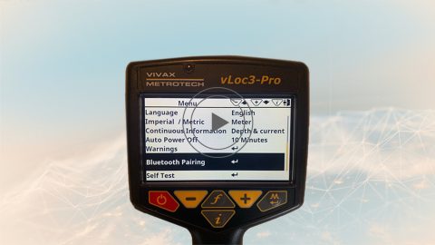
In the third Eos Locate video tutorial, you’ll go through the steps of pairing your vLoc Locator to iOS via Bluetooth for use with underground mapping.

Eos Locate™: Configure Settings in ArcGIS Collector and Eos Tools Pro

Eos Locate™- How to configure settings in Collector and Eos Tools Pro GPS GIS GNSS Esri Collector Field Maps Eos Tools Pro underground utility mapping

Ready to map underground assets? In the second Eos Locate video tutorial, learn how to configure initial settings in ArcGIS Collector and Eos Tools Pro.

Eos Laser Mapping™: Configure settings in ArcGIS Collector

Eos Laser Mapping™- How to configure initial settings in ArcGIS Collector and Eos Tools Pro Esri GIS GPS GNSS video Field Maps ofset sideshot

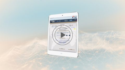
In this second Eos Laser Mapping video, you’ll learn how to set up Collector and Eos Tools Pro for laser offsets. Set alarms, orthometric height and more!

Eos Laser Mapping™: Configuring Your Initial Mobile Apps (ArcGIS Collector)

Laser Offset Guide for Collector: How to Configure Collector for ArcGIS® and Eos Tools Pro for Laser Offsets

The Laser Offset Guide for Collector is intended to help you configure ArcGIS Collector® and Eos Tools Pro so you can begin to capture laser offsets.

ArcGIS Collector: High-Accuracy Data Collection Overview (Esri)

ArcGIS Collector - Overview of capturing high-accuracy data Esri video GPS GIS GNSS

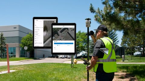
Learn why you’d want to capture high-accuracy data in Esri Collector in this short video from Esri, including sample field-data collection scenarios.

ArcGIS Collector (v18.1.0): How to Record Survey-Grade Orthometric Heights

ArcGIS Collector (v18.1.0)- How to record survey-grade orthometric heights with Arrow GNSS GPS GIS

Learn to record orthometric heights in Collector Aurora. Follow along with written resources, screenshots and video tutorial in this article.