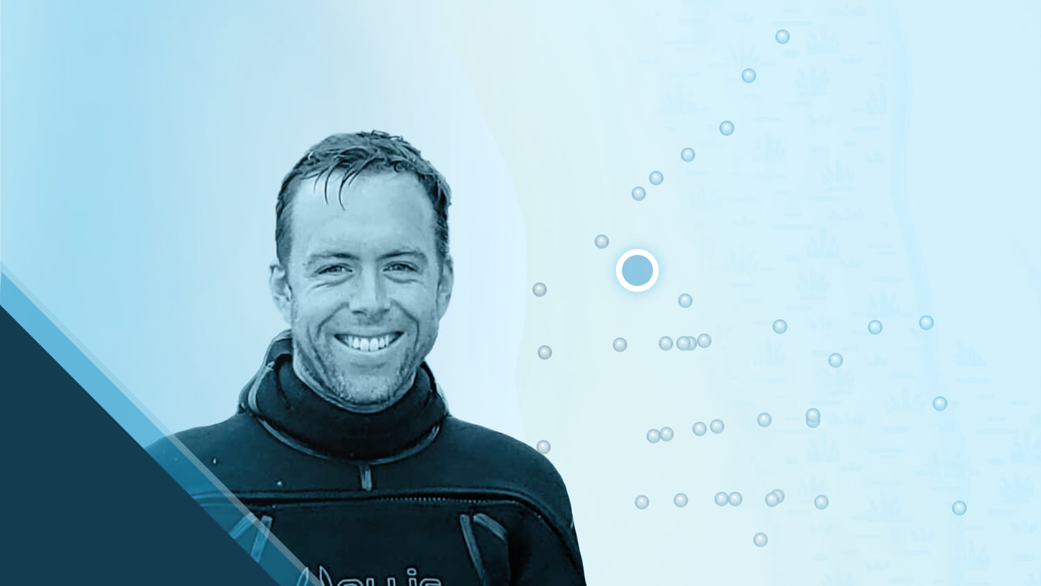
Dr. Kyle Emery is dedicated to deepening our understanding of coastal change. As an Assistant Researcher at the Marine Science Institute of the University of California, Santa Barbara (UCSB), Kyle provides both scientists and communities with vital insights for the future. In his work, he utilizes global navigation satellite systems (GNSS) to explore, research, and help conserve coastal ecosystems. Using the Eos Arrow Gold+™ GNSS receiver alongside Esri’s ArcGIS® Field Maps, Kyle accurately georeferences drone imagery along the California coast, unveiling changes within beach and dune landscapes. He hopes his work will enable researchers to more accurately predict the impact of sea level rise on vulnerable coastal ecologies.
Beyond his dedication to environmental mapping, Kyle is committed to connecting with the public and educating communities to navigate toward a more sustainable future. Keep reading to learn from Kyle in his own words about how he uses high-accuracy technology to gain insights into the natural world!
1. Why are you passionate about your job?

I love what I do because I am able to combine my passion for nature and the environment with my interests in science and research. Through my various research projects, I am lucky enough to be able to travel extensively for field work and data collection. I then get to use this data and make it available to others, so that we can better understand coastal ecosystems and their dynamics to prepare for the impacts of climate change and sea level rise.
2. How did you first find out about Eos Positioning Systems’ GNSS products?
Eos Positioning Systems came highly recommended from collaborators who have used Eos equipment in both research and teaching at the University of California.
3. What do you use Arrow Series® GNSS receivers for?
I use the Arrow Gold+ GNSS receivers for two primary purposes. First, I collect highly accurate ground control points (GCPs) that are used to calibrate data in drone surveys of beach and dune ecosystems. Using ArcGIS Field Maps with this, I can record both the position and elevation data in real time. Second, I use the receiver to collect beach and dune profile data along cross-shore transects.

4. Do you have a favorite experience or memory from your projects with Eos Arrow?
Projects where I am using the Eos Arrow allow for greater interaction and engagement with the public, which is one of my favorite parts of doing field work.
The beach is a very public place to conduct research and the use of survey equipment like the Arrow Gold+ receiver draws even more attention. Projects where I am using the Eos Arrow allow for greater interaction and engagement with the public, which is one of my favorite parts of doing field work.
5. Do you have a favorite feature of Arrow GNSS receivers?
There are two key aspects of the Arrow receivers which make them so great to use. First, the ease of connecting to the California Real Time Network (CRTN) for instantaneous real time kinematic (RTK) data through my iPhone® is extremely convenient and efficient when in the field for getting very high-resolution data from existing base stations. Second, the receivers are rugged yet easy to use when traversing the beaches and dunes of the California coast.
Is there anything we didn’t ask you that you’d like to share with us?
Eos and Esri together make data collection and analysis seamless and very user friendly. I would highly recommend the Eos Arrow receiver, especially to researchers new to collecting high-resolution position and elevation data.
Explore Related Content
Beyond the Tide: Tracking California’s Coastal Change with High-Accuracy Maps
To enable more accurate predictions about sea level rise, Dr. Kyle Emery is piloting a drone, GNSS, GIS, and satellite imagery workflow.

Heritage at Risk: Documenting and Excavating Cultural Sites in Coastal South Carolina — Before They Are Lost Forever
Learn how the South Carolina Department of Natural Resources uses high-accuracy GNSS to excavate artifacts before they are lost to climate change.
