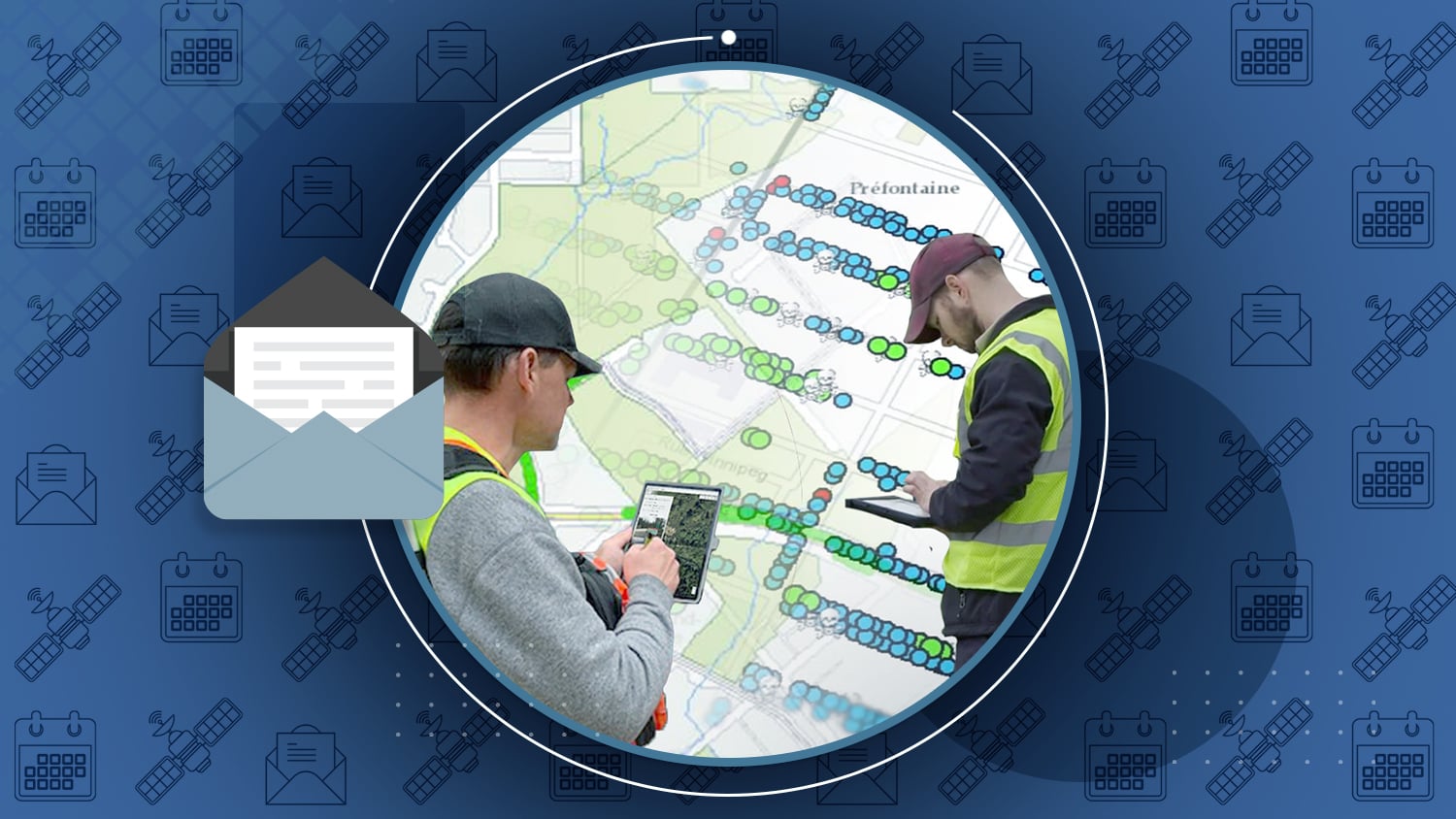
Feature Story
/// 5 Municipalities Using SBAS Differential Corrections for Submeter Accuracy to Serve their Communities

Among the most frequent use cases for SBAS differential corrections are municipal crews in cities, counties, states, and other local governments. Browse 5 outstanding examples of municipalities improving their communities by using free submeter accuracy with the Arrow 100.
Industry News

Eos Receives 2021 Esri IMGIS Award
At the 2021 Esri Infrastructure and GIS Management conference, Eos received the partner award for “Solution Alignment: Mobile.” The award marks the tight integration between Eos hardware solutions and Esri ArcGIS mobile apps.
Read about the Award >

Field Demonstration: 3 Eos Laser Mapping Methods
Would you like to know what each of the three Eos Laser Mapping methods look like in the field? In these three quick video demonstrations, an Eos representative performs a complete data capture workflow using each of the three methods.
See the 3 Laser Mapping Methods Demonstrated in the Field [Video] >

Share Your Success
Have you gained value for your organization and/or other stakeholders by deploying high-accuracy mobile mapping solutions with Arrow GNSS? We would love to share your story! Submit a testimonial, photo, or project for consideration for a case study on our website.
Share Your Work! >

Request a Virtual Arrow GNSS / Esri ArcGIS Field Maps Training Workshop
Did you miss the February 2021 Eos high-accuracy mobile GIS training workshop with special guests from Esri and Colliers Engineering & Design (formerly Maser Consulting)? No problem! Just fill out the form to request a copy of the workshop for free. Please note you must use a work email address.
Request the Arrow/Field Maps workshop >
Al’s Corner: Technical Tips

Eos welcomes Argis Lens in October
This month Eos welcomed Argis Lens, an augmented reality app made by Esri partner Argis, to the partner section of the Eos website. Learn more about using Argis Lens with Arrow GNSS receivers.
Current GNSS constellation status for October 23, 2021:

Customer Spotlight

Customer Spotlight: Dave Babicki, One-Man GIS Team
As a one-man GIS team, Dave Babicki is constantly searching for ways to increase efficiency without sacrificing accuracy. Dave is the GIS Specialist at Jonah Water Special Utility District (SUD). He is committed to ensuring quicker repairs, informing decision-making, and promoting collaboration by pushing the boundaries of mobile mapping solutions.
Get to know Dave Babicki >
Upcoming Events

Esri IMGIS
Palm Springs, California | October 25-28
Visit Eos at one of the first physical Esri events since the pandemic. Our team will be available for three days in the expo hall. Get your hands on some of our newest products, like the Eos Bridge!
How to Find Eos at IMGIS >

2021 MN GIS/LIS Consortium
Virtual | October 27-29
Join Eos Positioning Systems virtually for this event for Minnesotans in the GIS and LIS technology spaces. Our team will be available on Zoom to registered attendees to discuss high-accuracy mapping during expo hours.

2021 American Innovations Users Group
Austin, TX | November 9-10
Visit an Eos representative in person for two days during the 2021 A.I. U.G. in Austin, Texas. Learn about high-accuracy mobile solutions using CartoPac Mobile and Arrow GNSS.