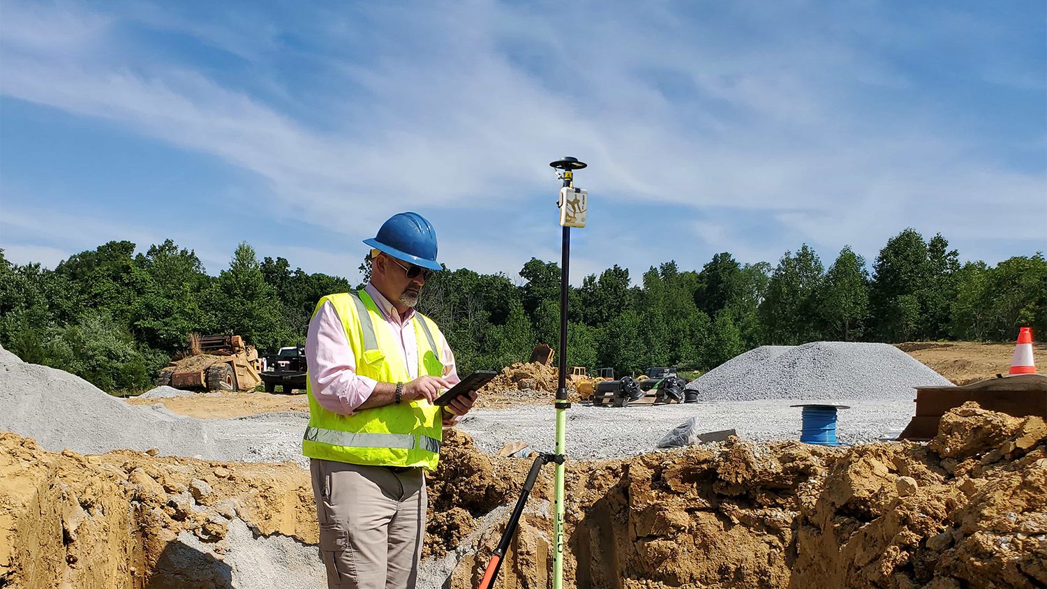
Our success starts and ends with our customers. Each month, Eos feature new stories and customer spotlights to highlight how professionals around the world are taking advantage of submeter and centimeter locations in their mobile mapping workflows. Browse case studies, videos, customer spotlights and more to gain ideas on how external GNSS receivers can help transform work at your organization.
Filter items by the following categories
Dr. Kyle Emery leverages high-accuracy GNSS and drone imagery to deepen our understanding of coastal change.
Discover how this pivotal program teaches public high schoolers how to use GIS, GNSS, drones, and related technology.
To enable more accurate predictions about sea level rise, Dr. Kyle Emery is piloting a drone, GNSS, GIS, and satellite imagery workflow.
Charles Lehnen uses brand-new Galileo HAS corrections with the Arrow Gold+ in the Galápagos archipelago. His work will study Santa Fe Island's rewilding.
Using drones, high-accuracy Eos GNSS receivers, and ArcGIS, Will is creating geospatially referenced 3D models for his clients.
FPAN archaeologists and volunteers map historical sites and coastal erosion (in 3D!) to quantify erosion rates as Florida's sea levels rise.
Benson Crowell created highly accurate site plans to improve campus maintenance across Texas. This spotlight is dedicated to his legacy.
Sarah Beaulieu combines GPR and GNSS to locate grave locations at Indigenous Residential Schools across Canada.
Learn how the South Carolina Department of Natural Resources uses high-accuracy GNSS to excavate artifacts before they are lost to climate change.
Urban Forestry with Eos Arrow 100 and Esri Collector: See how students used Collector and Eos Arrow GNSS to hold contractors accountable and save Halifax Regional Municipality over $270,000.
Students hold contractors responsible for $270,000 in warranty-covered replacements by using Arrow 100 for tree inventory with Esri Collector.
Students from Dalhousie University used the Arrow 100 for urban forestry. In just one weekend, students mapped over 2,000 trees on personal mobile devices.