Download the comparison matrix for Skadi Series™ GNSS receivers. Compare categories such as corrections sources, accuracy levels, battery autonomy, advanced features, and more.
Download the comparison matrix for Skadi Series™ GNSS receivers. Compare categories such as corrections sources, accuracy levels, battery autonomy, advanced features, and more.
Download the comparison matrix for all Eos GNSS receivers from the Skadi Series™ and Arrow Series®. Compare categories such as corrections sources, accuracy levels, battery autonomy, advanced features, and more.
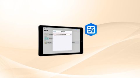
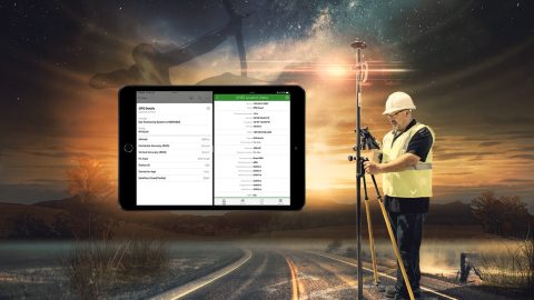
This article provides step-by-step instructions for setting your Eos GNSS receiver as the location provider in ArcGIS Field Maps on iOS devices.
Want to use external Bluetooth® GPS receivers in your work, but not sure where to start? Eos has compiled five resources to help you get started on your journey.
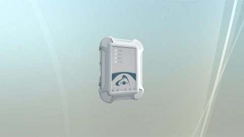
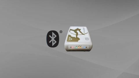
Eos Bridge™ datasheet: Key features and technical specifications for the Eos Bridge™ Bluetooth® connector for iOS from Eos Positioning Systems.
Mock Location is available in the “hidden” Developer Mode menu on your Android device. Here is how to enable it:
This is step 2 of 3: Pair the Arrow GNSS receiver with Windows 10 via Bluetooth Install & run the Eos Tools Pro application (Windows).
This is step 2 of 3: Pair the Arrow GNSS receiver with Android via Bluetooth Install & run the Eos Tools Pro application (Android).
This is step 2 of 3: Pair the Arrow GNSS receiver with iOS via Bluetooth Install & run the Eos Tools Pro application (iOS).
Run multiple Esri mobile apps on iOS while concurrently consuming Arrow GNSS location metadata. This guide will show you how (for iOS only).