Feature Story
Mapping The Western Hemisphere’s Deepest Cave with High Accuracy
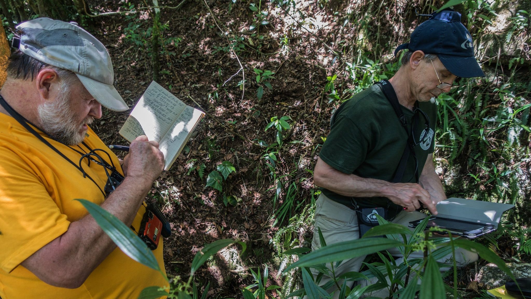
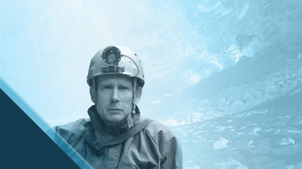
The Proyecto Espeleológico Sistema Huautla (PESH) team is pushing the boundaries of cave exploration by mapping Mexico’s Sistema Huautla, the Western Hemisphere’s deepest cave system, with unprecedented accuracy. With help from an Arrow 100 GNSS receiver, they can determine cave coordinates to submeter accuracy, significantly enhancing the precision of their maps. This allows researchers to rectify errors in past surveys, reconnect lost cave entrances, and more accurately locate paleontological finds and unique cave species. The project’s ultimate objective is to expand Sistema Huautla’s mapped length and depth, potentially identifying it as the world’s deepest cave.
Industry News
Galileo High Accuracy service undergoes successful testing in Africa
By European Union Agency for the Space Programme
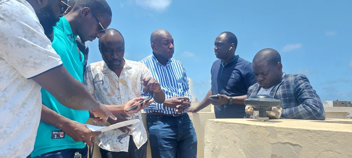
The Galileo High Accuracy Service (HAS) recently achieved a successful demonstration in Dakar, Senegal. Collaborating with local geomatics professionals, the SatNav Africa Joint Programme Office highlighted Galileo HAS’s ability to deliver real-time, sub-decimeter accuracy via Precise Point Positioning (PPP). Using the Arrow Gold+ GNSS receiver, the Dakar trial team validated ground control points (GCPs) with accuracy within 18 cm after a brief convergence period. This advancement offers significant improvements for high-precision applications across Africa and beyond.
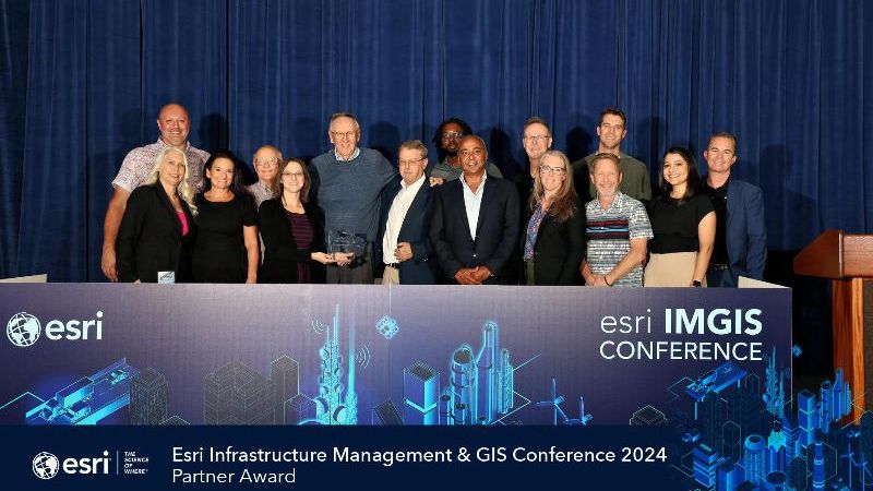
Eos was pleased to receive the Infrastructure award at Esri’s 2024 IMGIS Conference in Palm Springs. Known for its high-accuracy GNSS receivers for GIS applications, Eos showcased innovations like the Skadi Series™ GNSS receivers with tilt compensation and the Skadi Smart Handle™, which allows for easy RTK mapping through ArcGIS mobile apps. Esri recognized Eos’s advancements in leveraging ArcGIS for effective infrastructure management.
Dr. Kyle Emery, an Assistant Researcher at UC Santa Barbara’s Marine Science Institute, is leading a project to monitor seasonal and event-driven changes in California’s beaches and dunes. His team collects data across 14 coastal sites using technologies like the Arrow Gold+ GNSS receiver, ArcGIS Field Maps, and a DJI Mavic 3 Multispectral drone. Emery aims for his research to benefit local coastal communities and offer a replicable method for researchers worldwide to track beach ecology over time. Watch this quick video story, or read the full case study here >
Uncovering the legacy of Indigenous residential schools through GIS
By Rosalyn Laiken, Esri Canada
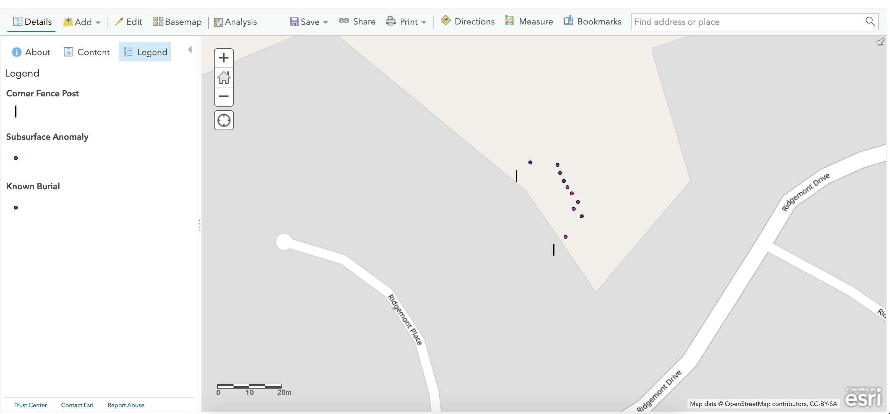
Following the discovery of over 200 possible graves at the Kamloops Indian Residential School, Dr. Sarah Beaulieu identifies unmarked burial sites at former residential schools in Canada. Dr. Beaulieu’s work employs ground-penetrating radar, GNSS, and ArcGIS Field Maps to map these sites — while collaborating with Indigenous communities. Her goal is to address the legacy of residential schools and support truth and reconciliation. This initiative empowers Indigenous voices, facilitates healing, and fosters awareness of historical truths while respecting community privacy.
Al’s Corner: Technical Tips
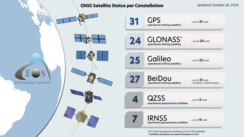
Current GNSS Satellite Status for October 28, 2024:
Configuring Mock Location on Android With Your Arrow GNSS Receiver
In order for location-aware Android apps to have access to the more accurate position of your Eos GNSS receiver, Mock Location must first be enabled. In this article, we guide you through enabling Mock Location on your Android device.
How to Configure Eos Tools Pro for RTK on Android
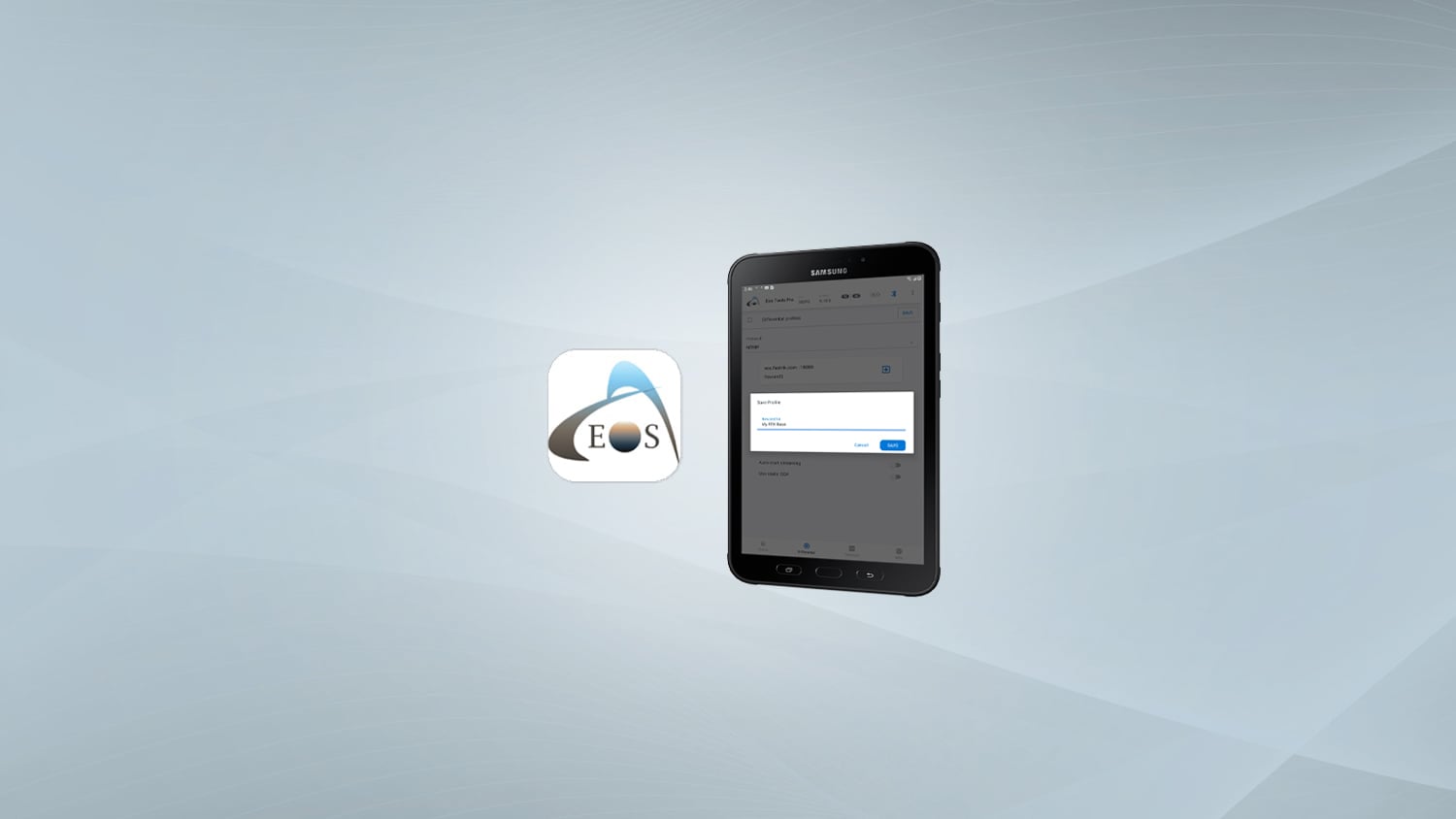
To acquire RTK corrections with your Eos GNSS receiver, you need an app capable of receiving and transmitting RTK corrections. Eos Tools Pro was built to handle this task. In this article, we show you how to connect your Eos receiver to, and configure, Eos Tools Pro (ETP) on Android.
Customer Spotlight
Thomas Shifflett Dives into Cave Mapping with GNSS
Retired civil engineer and land surveyor Tommy Shifflett has dedicated his post-career life to exploring and documenting deep cave systems, like Mexico’s Sistema Huautla. As co-founder of PESH, he uses high-accuracy GNSS technology, specifically the Arrow 100® receiver, to map and locate cave entrances in challenging jungle terrain.
Upcoming Events
2024 AI World Users Group
Nov. 3-7 | Austin, TX, USA
Eos is proud to sponsor the annual AI World User Group once again. This year we’re introducing the new Skadi Series™ GNSS receivers and building on the existing success of Arrow Series® among the utility group. Ask our expert representative all your GNSS and mapping questions!
2024 Esri European DevSummit Partner Day
Nov. 11 | Berlin, Germany
Germany, get ready for Partner Day at the Esri European Developer Summit! Join our European sales manager on Nov. 11, a day before the Euro DevSummit kicks off. We’re excited to show you our GNSS receivers’ tight integration with Esri mobile apps and discuss opportunities for partnership and collaboration.
2024 SCRWA Annual Conference
Nov. 19-20 | Myrtle Beach, S.C., USA
Calling all South Carolina rural water professionals! Eos and Esri are coming to you. Visit experts from both companies to learn how to get started with GIS and GNSS all day in the expo on Nov. 19. Plus, stay for our live mobile mapping presentation on Nov. 20. We’re ready to help with all things mappy.
2024 HRWA
Nov. 20-21 | Kona, HW, USA
Aloha, Hawaii rural water professionals! Not only can you visit experts from Eos and Esri in our booth for one-on-one GIS and GNSS discussions, but you can also join us for a free, 3-hour mapping workshop right after lunch on Nov. 21. Don’t miss this unique hands-on experience!
2024 Esri Konferenz
Nov. 27-28 | Bonn, Germany
Eos is back in Germany at the annual Esri Deutschland event! Join our European sales manager and local representatives. Ask us anything about the Arrow and Skadi GNSS receivers, including a demonstration of their close integration with Esri mobile apps. Find Eos in the Alta4 AG kiosk.


