Northumbrian Water acquired 10,000 water and sewer assets in Durham, UK. To QA/QC the new data they used Arrow 100 for mapping drains and sewers with Esri.

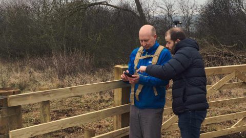
Northumbrian Water acquired 10,000 water and sewer assets in Durham, UK. To QA/QC the new data they used Arrow 100 for mapping drains and sewers with Esri.

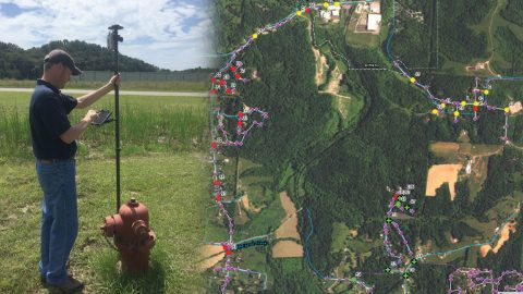
Le-Ax Water District needed to GPS above-ground assets with a low budget. They used Arrow 100 for rural water data collection with Esri Collector.

By Jeff Shaner, source: ArcGIS Blog. ArcGIS Collector is adding exciting new capabilities to the next release that let you map your assets (eg hydrants).

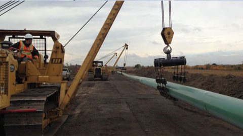
Canadian services company Enmapp saved thousands of dollars by switching from legacy GPS to the Arrow 100 for pipeline data collection with TerraGo Edge.