To meet increasing services demand, Seguin is mapping water, sewer, and electric assets with survey-grade accuracy. This helps avoid construction incidents during development and streamlines future asset management.
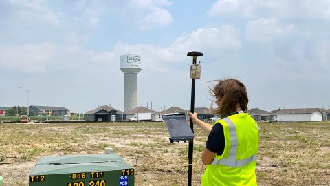
To meet increasing services demand, Seguin is mapping water, sewer, and electric assets with survey-grade accuracy. This helps avoid construction incidents during development and streamlines future asset management.
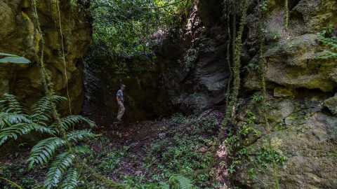
PESH is on a mission to explore and map México’s Sistema Huautla. The Arrow 100 GNSS receiver is helping them prove their survey findings.
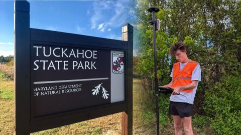
The GIS Program at Washington College created accurate digital maps to update those available for Tuckahoe State Park visitors. They used an Arrow Gold and ArcGIS Field Maps.
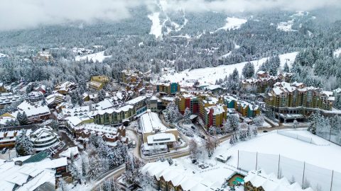
The Resort Municipality of Whistler equips departments with a high-accuracy mobile data collection workflow to support grant applications.
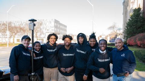
Discover how this pivotal program teaches public high schoolers how to use GIS, GNSS, drones, and related technology.
To enable more accurate predictions about sea level rise, Dr. Kyle Emery is piloting a drone, GNSS, GIS, and satellite imagery workflow.
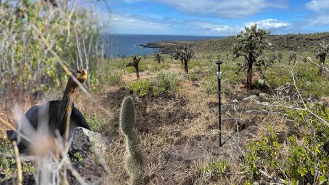
Charles Lehnen uses brand-new Galileo HAS corrections with the Arrow Gold+ in the Galápagos archipelago. His work will study Santa Fe Island’s rewilding.
Cassatt Water prepares for the next generation of field workers by adopting ArcGIS with a survey-grade Arrow Gold+ GNSS receiver—moving away from mapbooks.
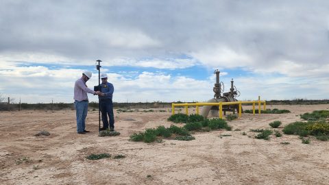
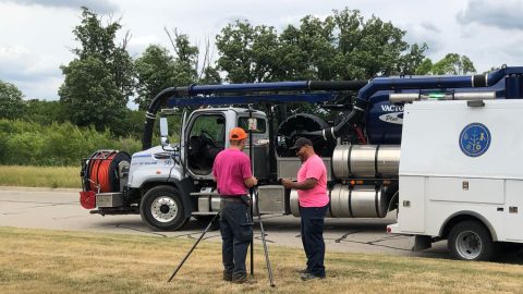
In the Delaware Basin, Texas midstream pipeline operator Kinetik has transformed GIS and location accuracy in the field and office.
The City of Saline brought GIS in house, deployed high-accuracy GNSS receivers, and is working toward a streamlined longterm master plan.