TOUA collected accurate, geospatial data for 710 miles of distribution conductors in Arizona heat. See how their records improved!
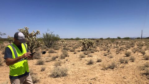
TOUA collected accurate, geospatial data for 710 miles of distribution conductors in Arizona heat. See how their records improved!
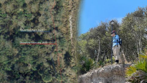
FPAN archaeologists and volunteers map historical sites and coastal erosion (in 3D!) to quantify erosion rates as Florida’s sea levels rise.
By modernizing its GNSS technology, Sheboygan Falls Utilities overcame challenges posed by decades-old as-built data.
Warren Water mapped wastewater assets with centimeter-level accuracy to help engineers with hydraulic modeling.
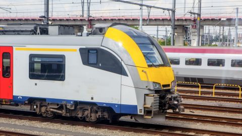
Belgian rail company Infrabel improved worker safety by using high-accuracy GIS to track train and worker movements.
Minnesota-based Ellingson Companies provides gas utilities with real-time as-builts that are captured with centimeter-level accuracy.
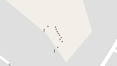
Sarah Beaulieu combines GPR and GNSS to locate grave locations at Indigenous Residential Schools across Canada.
New Jersey American Water is saving $2.6M per year in OpEx by knowing a million asset locations with survey-grade accuracy.
Learn how Terraformation is combatting climate change by using high-accuracy GNSS / GIS to increase accountability for global reforestation projects.
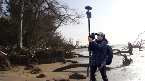
Learn how the South Carolina Department of Natural Resources uses high-accuracy GNSS to excavate artifacts before they are lost to climate change.