Since Germany reunited in 1990, the BVVG has been dedicated to privatizing lands formerly owned by East Germany. See how their mapping technology has evolved over decades.
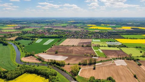
Since Germany reunited in 1990, the BVVG has been dedicated to privatizing lands formerly owned by East Germany. See how their mapping technology has evolved over decades.
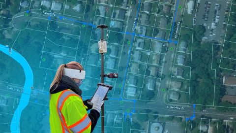
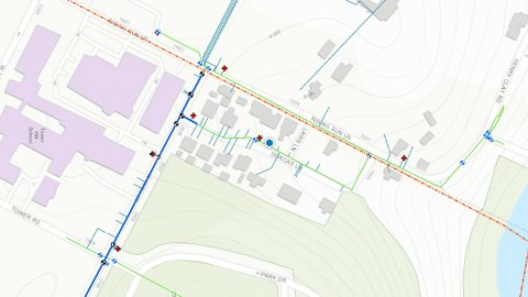
The City of Rahway upgraded from a paper-based workflow to digital GNSS mobile mapping for the city’s sanitary sewer and stormwater systems.
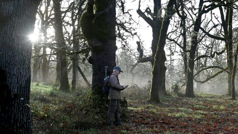
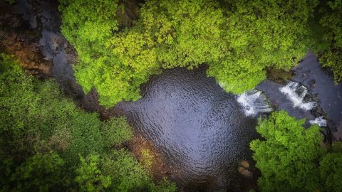
The Nature Conservancy of Canada uses Eos Arrow GNSS receivers to preserve the endangered Garry oak ecosystems and the many unique species they nourish.
Bat Conservation International locates bat-friendly habitats with a combination of Esri ArcGIS Apps (e.g., Survey123) and Arrow GNSS receivers.
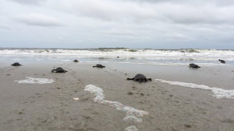
A nonprofit group in South Carolina uses location-based technology to protect sea turtles, so they can safely hatch and go home to the ocean.
By replacing physical boundary markers with highly accurate digital records, ADF Haiti enabled the deployment of modern machine technologies that improve farmers’ yield while retaining trust.
The National Trust upgraded their GPS technology to accurately map fence lines and check boundaries to show where land ownership ends.
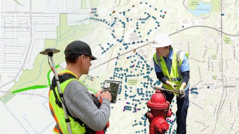
Previously it took 3rd-party contractors 1+ year to deliver Wilmington’s CAD as-builts. Now with ArcGIS Field Maps and Arrow GNSS, it’s near real time.
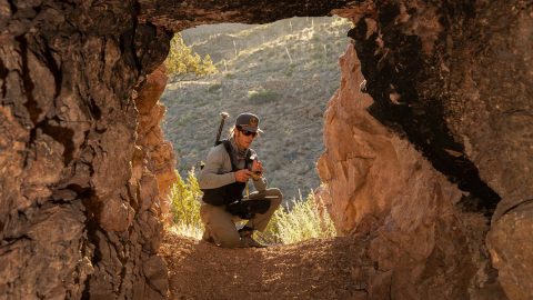
Browse 5 of our favorite examples of municipalities improving their communities by using SBAS corrections with the Arrow 100®.
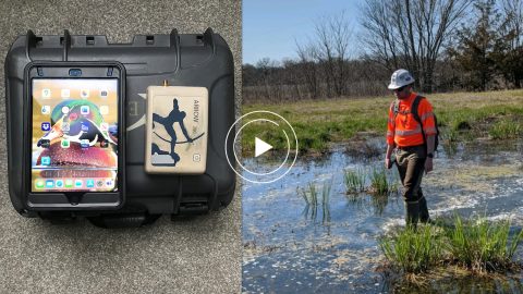
Environmental Solutions & Innovations switched to Ecobot app and Arrow GNSS to replace a slow and cumbersome legacy mobile mapping solution.