Can high-accuracy GNSS and GIS integrate with CAD? Discover how in this recorded 2022 Esri UC presentation.
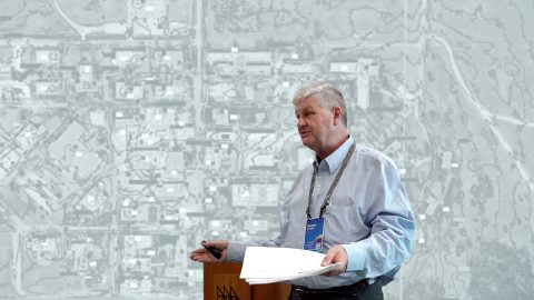
Can high-accuracy GNSS and GIS integrate with CAD? Discover how in this recorded 2022 Esri UC presentation.
New Jersey American Water shares how they updated GNSS technology to save money, reduce time spent, and increase accuracy.
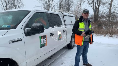
Minnesota-based Ellingson Companies provides gas utilities with real-time as-builts that are captured with centimeter-level accuracy.
Four panelists share their experiences using Arrow GNSS receivers with ArcGIS apps and take audience questions.
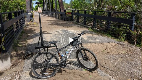
In this 2020 MiCAMP session, OHM shows how they used a GPS Smart Bike (Arrow GNSS, ArcGIS QuickCapture) to map Midland County flood damage.

Join Eos, Esri and friends for this interactive panel from 2020 Esri IMGIS on mobile GIS and high-accuracy GNSS, including recorded Q&A.
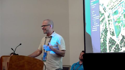
In this presentation, David Gigliotti of explains how high-accuracy data collection (Arrow Gold® GNSS, ArcGIS) to cut mobile labor costs.
In this recorded Eos Locate case study, Michael Cousins explains how underground mapping (Arrow Gold®, Collector) improved legacy buried-asset records.
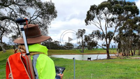
Hear how one Australian company uses Arrow 100® for heritage management alongside ArcGIS Collector. Originally presented at Ozri 2020.
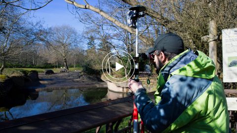
The Woodland Park Zoo Laser Mapping project enabled infrastructure (utility, gardens, etc.) basemaps with submeter accuracy for the first time in 120 years!