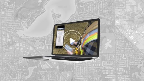
Industry experts and a real-life use case teach best practices for mapping water assets with high-accuracy GPS / GNSS.

Industry experts and a real-life use case teach best practices for mapping water assets with high-accuracy GPS / GNSS.

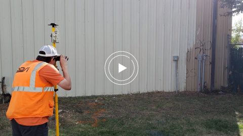
Learn how to achieve high-accuracy as-built mapping for your gas utility in this April 2022 webinar from Esri and Eos Positioning Systems.

In this Eos / Directions Magazine webinar, two users of high-accuracy GNSS receivers demonstrate how they implemented and improved high-accuracy data collection.
Four panelists share their experiences using Arrow GNSS receivers with ArcGIS apps and take audience questions.
Learn best practices for deploying high-accuracy Arrow GNSS receivers with Esri’s ArcGIS Field Maps. This webinar includes a customer presentation about his deployment, including demonstrations and Q&A.
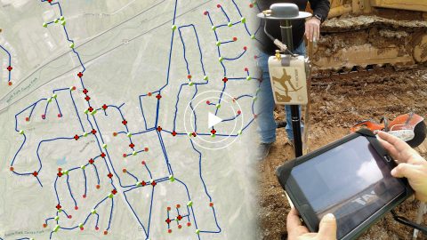
In this webinar, Esri, OHM Advisors and Eos explore underground utility mapping with Eos Locate™ for ArcGIS®, including a utility case study.
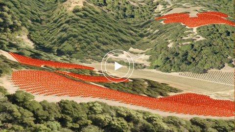
Learn how one premium-wine producing vineyard saved over a half-million dollars by choosing RTK cloud-based mapping over physical barcode IDs.
In this Esri AEC webinar, DDSI Global shares how per-project ROI increased by 20% thanks to the use of Eos Laser Mapping for Collector during site surveys.
In this webinar Esri’s Christa Campbell joins Kenny Ratliff, GIS manager at Oldham County Water District to share their field mapping journey.
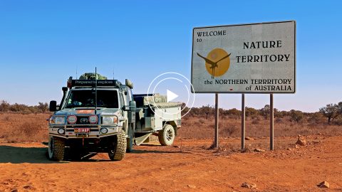
In this Esri Australia Webinar, discover the field data collection workflow Hema Maps uses to create digital and print maps with Arrow 100 and the Australia SBAS.