Differential Correction Source: RTK

  • Home
  • Archive for "RTK"
  • Page 3

High-Accuracy As-Builting for Gas Utilities: Webinar with Esri

High-Accuracy As-Builting for Gas Utilities

Learn how to achieve high-accuracy as-built mapping for your gas utility in this April 2022 webinar from Esri and Eos Positioning Systems.

Down to the Shore: New Jersey Water Utility Maps a Million Assets with Sub-Inch Accuracy

New Jersey American Water Utility Maps a Million Assets with Sub-Inch Accuracy

New Jersey American Water is saving $2.6M per year in OpEx by knowing a million asset locations with survey-grade accuracy.

Terraformation: Combatting Climate Change with Accurate Accountability

Terraformation Using Arrow and ArcGIS Field Maps to Collect Plant Locations for Native Forest Restoration

Learn how Terraformation is combatting climate change by using high-accuracy GNSS / GIS to increase accountability for global reforestation projects.

Heritage at Risk: Documenting and Excavating Cultural Sites in Coastal South Carolina — Before They Are Lost Forever

South Carolina Department of Natural Resources Feature Image with Eos Arrow GNSS

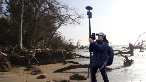
Learn how the South Carolina Department of Natural Resources uses high-accuracy GNSS to excavate artifacts before they are lost to climate change.

Customer Spotlight: Nora Toro Brings Confidence to Clients

Customer Spotlight Nora Toro with Eos Arrow GNSS

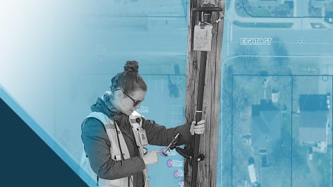
Learn how Nora Toro uses Eos Arrow GNSS receivers to help coworkers find optimal high-accuracy data collection workflows and strengthen trust in their data.

New Jersey City Ditches Paper Maps for High-Accuracy Data Collection in ArcGIS Apps

City of Rahway Feature Image, Colliers Engineering & Design uses Eos Arrow Gold GNSS and Eos Laser Mapping

The City of Rahway upgraded from a paper-based workflow to digital GNSS mobile mapping for the city’s sanitary sewer and stormwater systems.

Customer Spotlight: Summer Roberts Pairs Winemaking with GIS

Customer Spotlight - Summer Roberts Uses Eos Arrow GNSS to Map Vineyards with High Accuracy

Did you know GIS might be behind your glass of wine? Learn how Summer Roberts uses GNSS to map vineyard properties in California.

Customer Spotlight: Zack Henry Helps Customers Succeed with High-Accuracy GIS

Customer Spotlight Zack Henry Customer Spotlight Hero Image - Using Eos Arrow Gold GNSS for High-Accuracy GIS with Encepta

Zack Henry uses an Arrow Gold® with ArcGIS Field Maps for efficient data collection for utilities. When his clients succeed, Zack succeeds — and he brings that attitude to all his work.

Jim Casey

My favorite feature of the Arrow GNSS receivers is the fact that it works so easily — it is both fast and accurate. Connecting the Arrow Gold® to my iPad® via Bluetooth® and using ArcGIS Collector is such a simple setup. Training a new user to use an Arrow Gold® couldn’t be much easier.

Jim Casey

For me, the Eos Arrow Gold® GNSS receiver has been a technology that glues together everything I do (with drones, 3D tools, augmented reality, etc.) — with accuracy. The Arrow Gold® provides me with RTK accuracy, allowing me to be sure the data quality I collect is highly reliable, so I can focus on other [...]