Differential Correction Source: RTK

  • Home
  • Archive for "RTK"
  • Page 6

Customer Spotlight: Mike George takes on the latest technology

Customer Spotlight - Mike George DDSI

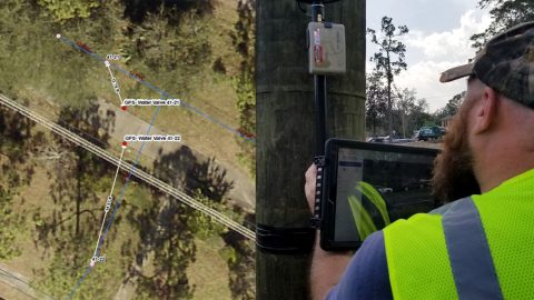
Meet our newest Customer Spotlight: Mike George of DDSI! Mike adopted laser offsets with Arrow & ArcGIS Collector, helping increase DDSI’s project margins by 20% per project!
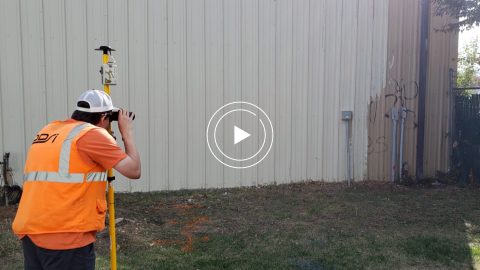
Capturing Hard-to-reach Assets with Decimeter Accuracy

Webinar - Esri AEC DDSI Laser Mapping Feature Image

In this Esri AEC webinar, DDSI Global shares how per-project ROI increased by 20% thanks to the use of Eos Laser Mapping for Collector during site surveys.

Customer Spotlight: Kenny Ratliff Innovates with GIS Workflows

Customer Spotlight: Kenny Ratliff Oldham County Water District Kentucky rural water Arrow Gold

Meet GPS power user Kenny Ratliff, whose work has brought ROI on Oldham County Water District’s GIS investment and improved service to county residents.
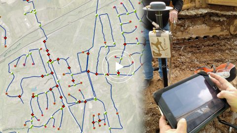
Water District Supports Daily Workflows with GIS & GPS

Oldham County Water District GPS GIS Webinar Arrow Gold ArcGIS Map video case study rugged mobile handheld mapping

In this webinar Esri’s Christa Campbell joins Kenny Ratliff, GIS manager at Oldham County Water District to share their field mapping journey.
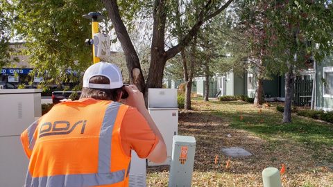
DDSI Increases Profit Margins with GNSS Laser Mapping

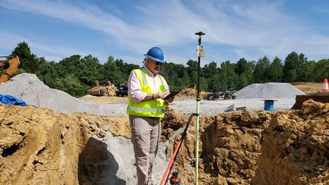
DDSI uses Eos Laser Mapping solution with Arrow Gold, LTI TruPulse 200X, and ArcGIS Collector to map mixed utility assets (electric, telco, water) for client projects

Denver’s DDSI maps utilities in tough-to-reach areas with Eos Laser Mapping for ArcGIS Field Maps during construction design phases.
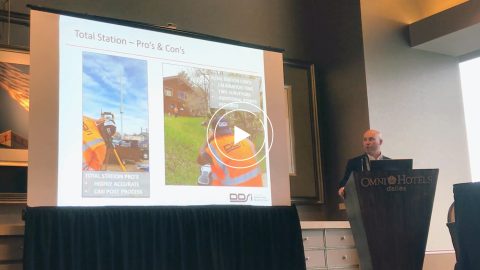
DDSI Presents at Esri GeoConX

Video Case Study: DDSI Laser Mapping Presentation at Esri GeoConX; DENVER DDSI laser mapping for utility locates at telecommunications sites with Eos Positioning Systems RTK laser mapping solution, ESRI GIS, and laser technology inc TRUPULSE 200x rangefinder in Colorado

DDSI at Esri GeoConX explains how they accelerated field work, enabled real-time QA/QC and reduced accuracy error for utility field work with laser mapping.
Ports of Auckland Demonstrates Arrow Gold with ArcGIS

Port of Auckland uses Eos Arrow Gold RTK receiver with Esri Collector to verify port construction is being performed according to designs, down to the cm.

Ports of Auckland uses Eos Arrow Gold RTK receiver with Esri Collector to verify port construction is being performed according to designs, down to the cm.

Kentucky Water District Cuts Meter Installation Costs in Half

High-Accuracy, Real-Time Data Collection Oldham County Water District OCWD, Kenny Ratliff, utility pipeline mapping water

Using Arrow Gold for rural water data collection helped a Kentucky utility reduce meter-installation cost by 50% on the Esri ArcGIS platform.

Rural Az Electric Co-op Collects 600 Assets a Day with Cm Accuracy

Field Crews Use Latest Release of Collector for ArcGIS, Eos Arrow Gold GNSS Receivers, and iPad Minis

Sulphur Springs Valley Electric Cooperative responded to an internal request by remapping a substation with Arrow Gold, RTK & Collector.

Kansas Utility Modernizes Mobile Workflow

2017_WaterOne_Eos_Arrow 200

WaterOne in Kansas revamped its outdated field workflow by switching to Panasonic ToughPads and Arrow 200 for water-asset collection on Esri ArcPad.