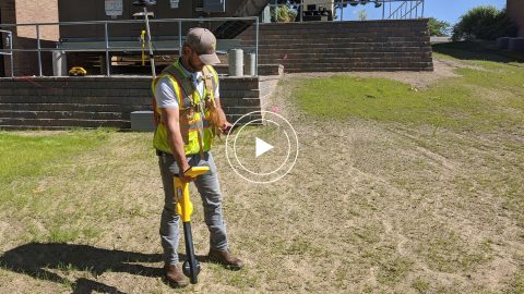
In this webinar, Esri, OHM Advisors and Eos explore underground utility mapping with Eos Locate™ for ArcGIS®, including a utility case study.
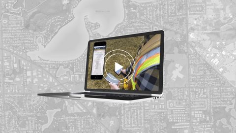
In this webinar, Esri, OHM Advisors and Eos explore underground utility mapping with Eos Locate™ for ArcGIS®, including a utility case study.
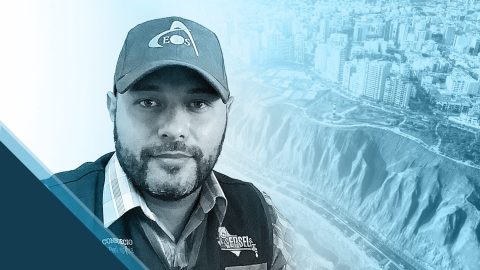
GIS is more than just a job to Ronald Stith Lopez. It’s a way to improve people’s lives. Learn how Ronald uses GNSS across Peru and Colombia.
Scott Denham uses Arrow GNSS and the Ecobot app for wetlands management projects. Learn what drives Scott to find the most efficient tech.
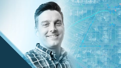
Mike Kolody turned his childhood love of cartography into a career. Today he helps clients modernize mobile GIS and GNSS mapping workflows.
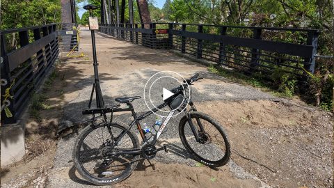
In this 2020 MiCAMP session, OHM shows how they used a GPS Smart Bike (Arrow GNSS, ArcGIS QuickCapture) to map Midland County flood damage.
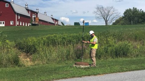
Vermont Gas Systems doubled their efficiency by switching to Arrow Gold® GNSS receivers and ArcGIS mobile apps for as-built mapping.

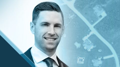
Zac Petix is VP of Geospatial Services at Palmetto Engineering. Learn how he uses high-accuracy GIS to help clients determine sound solutions.
In this Customer Spotlight, we explore David Gigliotti’s use of a GPS system—comprised of Arrow Gold, iPad and ArcGIS—in upstate New York.
In this presentation, David Gigliotti of explains how high-accuracy data collection (Arrow Gold® GNSS, ArcGIS) to cut mobile labor costs.
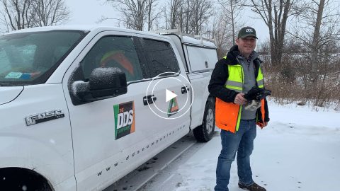
In this recorded Eos Locate case study, Michael Cousins explains how underground mapping (Arrow Gold®, Collector) improved legacy buried-asset records.