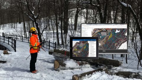
Faced with a retiring workforce, Northern Forest clients began mapping assets. See how one consultancy helps them deploy Arrow 100 GNSS and ArcGIS.
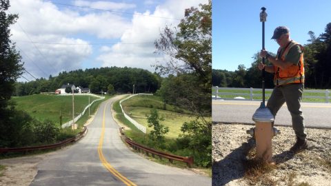
Faced with a retiring workforce, Northern Forest clients began mapping assets. See how one consultancy helps them deploy Arrow 100 GNSS and ArcGIS.
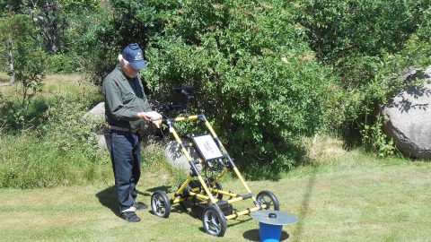
Swedish historians are using Arrow 100 for archeology. They’re locating ancient historically important buried monasteries with ground penetrating radar.
Students from Dalhousie University used the Arrow 100 for urban forestry. In just one weekend, students mapped over 2,000 trees on personal mobile devices.
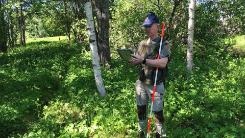
Forestry is a major component of the Swedish economy. Landowners must agree on boundaries. See how Arrow 100 GNSS helps, even under dense canopy.
To save its iconic forests from the Emerald Ash Borer, Montreal used Arrow 100 for pesticide control with Collector and iPads, switching from manual tools.
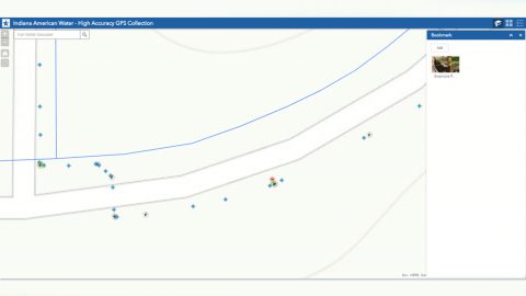
Indiana AmWater, one of the biggest US water utilities, reduce a half-year workflow to one week by deploying Arrow 200 and ArcGIS Collector for as-builts.
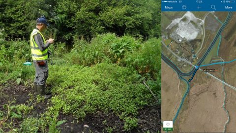
Wetland Surveys Ireland tracks the health or sickness of Sphagnnum mosses to influence policy, by using Arrow 100 for vegetation management with Collector.
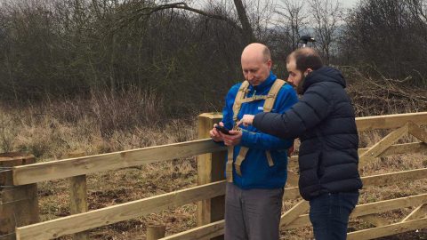
Northumbrian Water surveyed the location of 10,000 merger-acquired water and sewer assets in the UK with the Arrow 100 for utilities and Esri Collector.
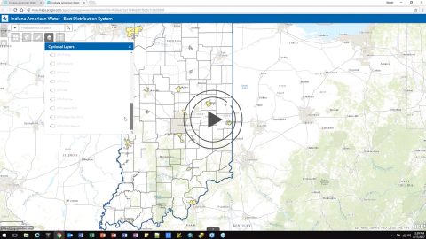
Indiana American Water and Esri describe how they drastically reduced as-builting times and improved employee satisfaction with the Arrow 100 and Collector.
Northumbrian Water acquired 10,000 water and sewer assets in Durham, UK. To QA/QC the new data they used Arrow 100 for mapping drains and sewers with Esri.