New Jersey American Water is saving $2.6M per year in OpEx by knowing a million asset locations with survey-grade accuracy.
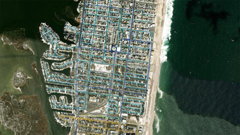
New Jersey American Water is saving $2.6M per year in OpEx by knowing a million asset locations with survey-grade accuracy.
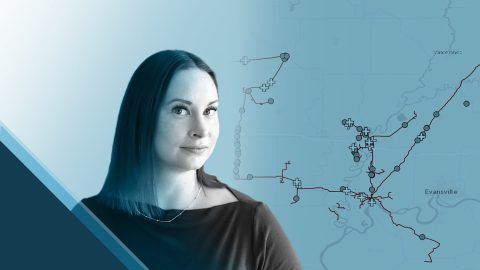
Erin Mara uses Eos Arrow 100® GNSS receivers with ArcGIS Survey123 to save her field crew hundreds of work hours, as they serve Midwestern pipeline clients.
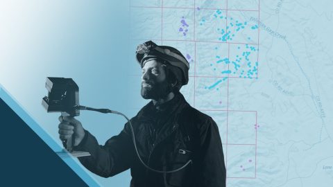
Priyesh Patel uses Eos Arrow 100® GNSS receivers with Esri ArcGIS® apps to aid the preservation of one of Earth’s most precious animals: bats.
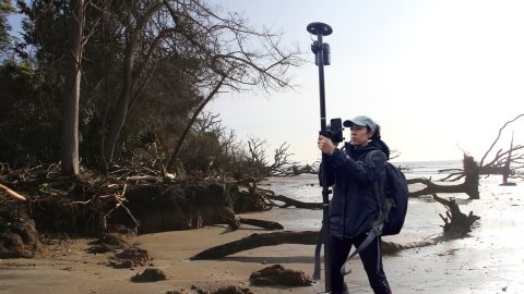
Learn how the South Carolina Department of Natural Resources uses high-accuracy GNSS to excavate artifacts before they are lost to climate change.
I had absolutely no prior experience or training with GIS, so I was surprised how easy it eventually wound up being to adopt mapping software with the Arrow GNSS location accuracy.
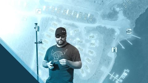
Mike Markowski turns to modern technology to learn about stories of the past. Learn how he uses high-accuracy Arrow 100 GNSS® to uncover archaeology!
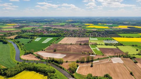
Since Germany reunited in 1990, the BVVG has been dedicated to privatizing lands formerly owned by East Germany. See how their mapping technology has evolved over decades.
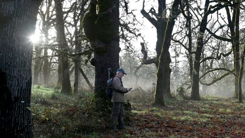
The Nature Conservancy of Canada uses Eos Arrow GNSS receivers to preserve the endangered Garry oak ecosystems and the many unique species they nourish.
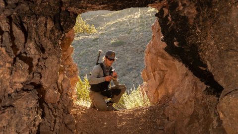
Bat Conservation International locates bat-friendly habitats with a combination of Esri ArcGIS Apps (e.g., Survey123) and Arrow GNSS receivers.