The moment Amber Kuehn first laid eyes on a sea turtle, she knew she would be spending her life advocating for them. Learn how she uses Arrow GNSS to protect this endangered species.

The moment Amber Kuehn first laid eyes on a sea turtle, she knew she would be spending her life advocating for them. Learn how she uses Arrow GNSS to protect this endangered species.
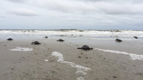
A nonprofit group in South Carolina uses location-based technology to protect sea turtles, so they can safely hatch and go home to the ocean.

In this Eos / Directions Magazine webinar, two users of high-accuracy GNSS receivers demonstrate how they implemented and improved high-accuracy data collection.
The National Trust upgraded their GPS technology to accurately map fence lines and check boundaries to show where land ownership ends.
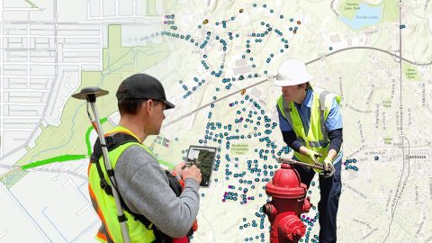
Browse 5 of our favorite examples of municipalities improving their communities by using SBAS corrections with the Arrow 100®.

Using an Arrow 100 GNSS receiver and Esri’s ArcGIS, Brian Tucker helps protect Hawaii’s most abundant native tree from a fungal pathogen.

Scott Denham uses Arrow GNSS and the Ecobot app for wetlands management projects. Learn what drives Scott to find the most efficient tech.
Five water utilities are using high-accuracy Bluetooth® GNSS receivers to transform their mobile data collection. Here’s how.
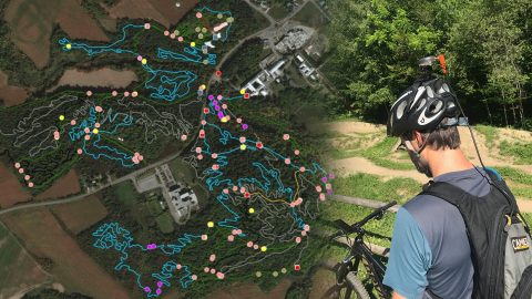
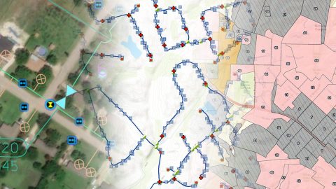
Velo Quebec uses Arrow 100® and ArcGIS QuickCapture to quickly map bike trails at speed. The data helps ensure land owners maintain the trails.
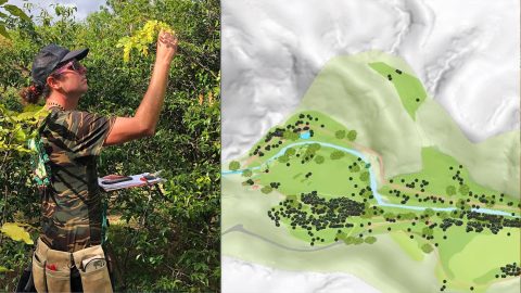
In Hawaii, NTBG’s staff have turned the gardens and preserves into safe havens for at-risk species. They use high accuracy to track plants.