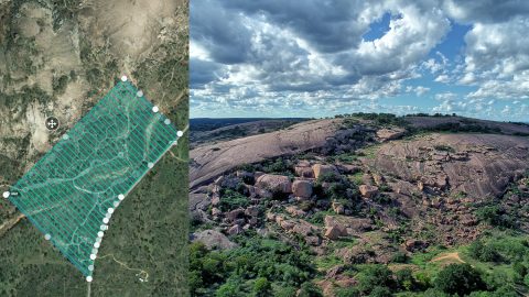
A Texas consultancy provided 3D topo maps and digital elevation models to a park by using Arrow Gold for ground control points, DJI drones & GPS Tracker.

A Texas consultancy provided 3D topo maps and digital elevation models to a park by using Arrow Gold for ground control points, DJI drones & GPS Tracker.

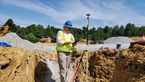
Using Arrow Gold for rural water data collection helped a Kentucky utility reduce meter-installation cost by 50% on the Esri ArcGIS platform.

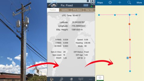
Sulphur Springs Valley Electric Cooperative responded to an internal request by remapping a substation with Arrow Gold, RTK & Collector.

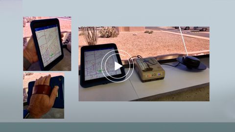
Sulphur Springs Valley Electric Cooperative and Esri discuss how SSVEC collected over 34,000 substation records in just one month in mountainous Arizona.