Industry experts and a real-life use case teach best practices for mapping water assets with high-accuracy GPS / GNSS.
Industry experts and a real-life use case teach best practices for mapping water assets with high-accuracy GPS / GNSS.
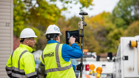
Minnesota-based Ellingson Companies provides gas utilities with real-time as-builts that are captured with centimeter-level accuracy.

Damon Nelton overcame many challenges to develop a real-time, GPS as-builting workflow for gas-utility construction projects.

Learn how Ellie Chao uses Eos Arrow Gold® GNSS receivers with ArcGIS Field Maps to increase trust in the accuracy of data for her utility clients.
Learn how to achieve high-accuracy as-built mapping for your gas utility in this April 2022 webinar from Esri and Eos Positioning Systems.
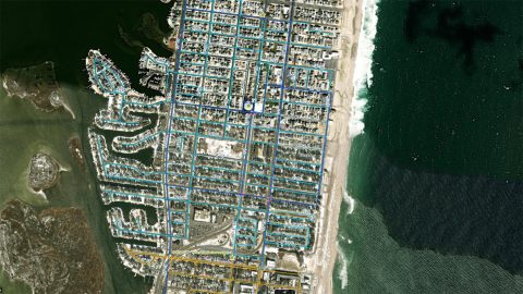
New Jersey American Water is saving $2.6M per year in OpEx by knowing a million asset locations with survey-grade accuracy.
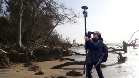
Learn how the South Carolina Department of Natural Resources uses high-accuracy GNSS to excavate artifacts before they are lost to climate change.
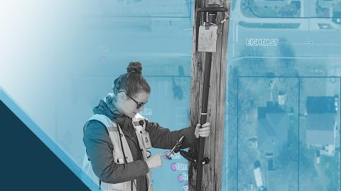
Learn how Nora Toro uses Eos Arrow GNSS receivers to help coworkers find optimal high-accuracy data collection workflows and strengthen trust in their data.
When I first started in GIS with my father we used bulky GPS backpacks that gave 10+ foot accuracy. Now with the Arrow Gold®, we receive accuracy down to the centimeter. This is crucial not only for mapping but also for when navigating to important locations during a crisis (such as a fire) , and knowing the location of assets (e.g., irrigation systems and precise vine rows) is essential for overall vineyard management and planning.
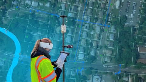
The City of Rahway upgraded from a paper-based workflow to digital GNSS mobile mapping for the city’s sanitary sewer and stormwater systems.