To meet increasing services demand, Seguin is mapping water, sewer, and electric assets with survey-grade accuracy. This helps avoid construction incidents during development and streamlines future asset management.
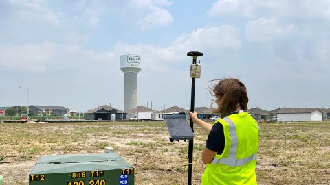
To meet increasing services demand, Seguin is mapping water, sewer, and electric assets with survey-grade accuracy. This helps avoid construction incidents during development and streamlines future asset management.

Vanessa Pocock uses high-accuracy GNSS and GIS to improve services for residents and visitors in the Resort Municipality of Whistler.
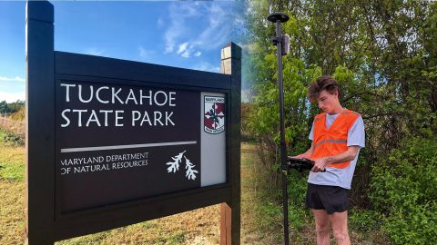
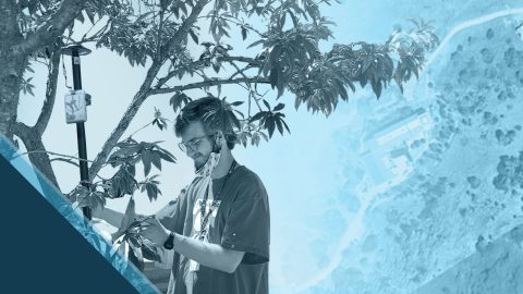
The GIS Program at Washington College created accurate digital maps to update those available for Tuckahoe State Park visitors. They used an Arrow Gold and ArcGIS Field Maps.
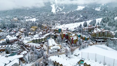
The Resort Municipality of Whistler equips departments with a high-accuracy mobile data collection workflow to support grant applications.
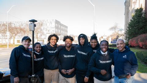
Discover how this pivotal program teaches public high schoolers how to use GIS, GNSS, drones, and related technology.

Hear how David Malm maps city infrastructure with high-accuracy GNSS in this exclusive video interview!
Using drones, high-accuracy Eos GNSS receivers, and ArcGIS, Will is creating geospatially referenced 3D models for his clients.

Papillon empowers employees to collect high-accuracy pipeline data efficiently and easily at the largest midstream provider in the Delaware Basin.
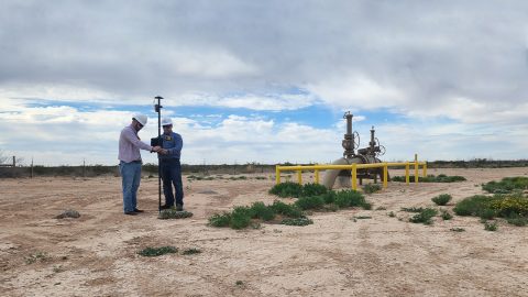
In the Delaware Basin, Texas midstream pipeline operator Kinetik has transformed GIS and location accuracy in the field and office.
The City of Saline brought GIS in house, deployed high-accuracy GNSS receivers, and is working toward a streamlined longterm master plan.