In this webinar Esri’s Christa Campbell joins Kenny Ratliff, GIS manager at Oldham County Water District to share their field mapping journey.
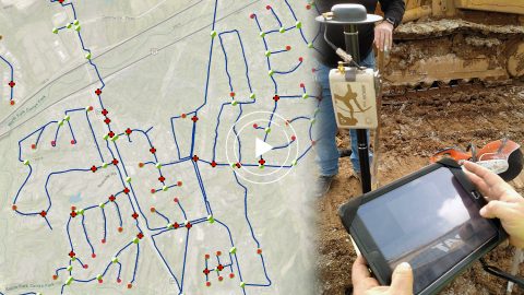
In this webinar Esri’s Christa Campbell joins Kenny Ratliff, GIS manager at Oldham County Water District to share their field mapping journey.
In 2018 Ohio began requiring public water utilities to maintain a detailed AMS. RCAP is simplifying compliance with ArcGIS and Arrow Gold for Asset Management.
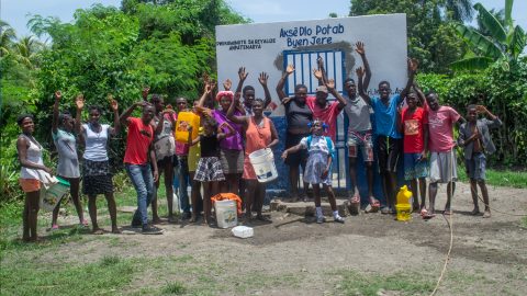
Haiti Outreach involves locals in its water mission. They use mWater to prioritize work and Arrow Gold with Atlas to model distribution systems in EPANET.

Neil Van Dine and Jean-Yves Lauture explain how Haiti Outreach uses Arrow GNSS and spatial software to transform the Western Hemisphere’s poorest nation.
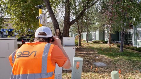
Denver’s DDSI maps utilities in tough-to-reach areas with Eos Laser Mapping for ArcGIS Field Maps during construction design phases.
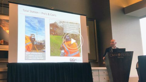
DDSI at Esri GeoConX explains how they accelerated field work, enabled real-time QA/QC and reduced accuracy error for utility field work with laser mapping.
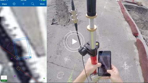
Ports of Auckland uses Eos Arrow Gold RTK receiver with Esri Collector to verify port construction is being performed according to designs, down to the cm.
Real-time access to enterprise ArcGIS via Futura & FieldPro helped TCEC achieve 4-hour as-builting. They used Arrow Gold for field staking GNSS locations.
Niagara Region and GPS Precision get together to discuss how they put together an Arrow Gold RTK base station for pipe locates at Ontario water facilities.
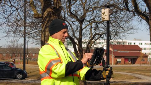
Niagara Region used Arrow Gold for locates, deploying real-time GNSS data collection with their own RTK base station and Esri ArcGIS Collector.