Experts answer questions about datum transformations, RTK, ArcGIS Field Maps and more in Part 1 of Q&A from our October 2022 workshop.
Experts answer questions about datum transformations, RTK, ArcGIS Field Maps and more in Part 1 of Q&A from our October 2022 workshop.
Our panelists answer questions about datum transformations, RTK, ArcGIS Field Maps and more in this Q&A from our recent workshop.

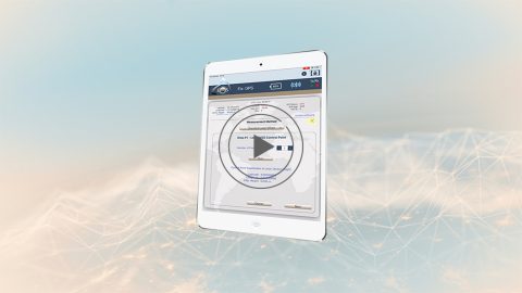
This quick video shows you how to configure elevation (orthometric vs. ellipsoidal) output in Eos Tools Pro, including a complete list of currently available GEOID models by region.

Download the Eos Python script, which contains GNSS metadata fields we recommend you add for Eos Laser Mapping™ and orthometric heights.

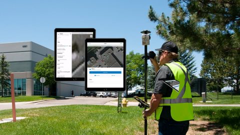
Everything from elevation, datum shifts and base stations to ArcGIS setup and ArcGIS Field Maps is coverd in this mobile GIS workshop Q&A.
In this second Eos Laser Mapping video, you’ll learn how to set up Collector and Eos Tools Pro for laser offsets. Set alarms, orthometric height and more!
The Laser Offset Guide for Collector is intended to help you configure ArcGIS Collector® and Eos Tools Pro so you can begin to capture laser offsets.
Learn to record orthometric heights in Collector Aurora. Follow along with written resources, screenshots and video tutorial in this article.
In this 3-minute tutorial, you’ll learn how to collect geoid height with Arrow in real time by configuring Eos Tools Pro and ArcGIS Collector.
From setting up attributes to configuring Collector and Eos Tools Pro, get ready to learn how to Configure ArcGIS, ArcGIS Collector, and Eos Tools Pro.