
In This Issue
- Eos Laser Mapping: New resources to get started
- What really happened to GPS devices during the November 2025 geomagnetic superstorm?
Featured Customers
- City of Rockford | Illinois
- Chloé Girka, GIS Engineer at UniLaSalle | France
- Lee County Electric Cooperative | Florida
In Case You Missed It (ICYMI)
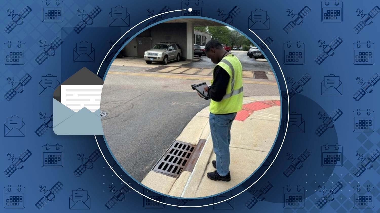
City of Rockford Modernizes Asset Mapping with Arrow Gold+
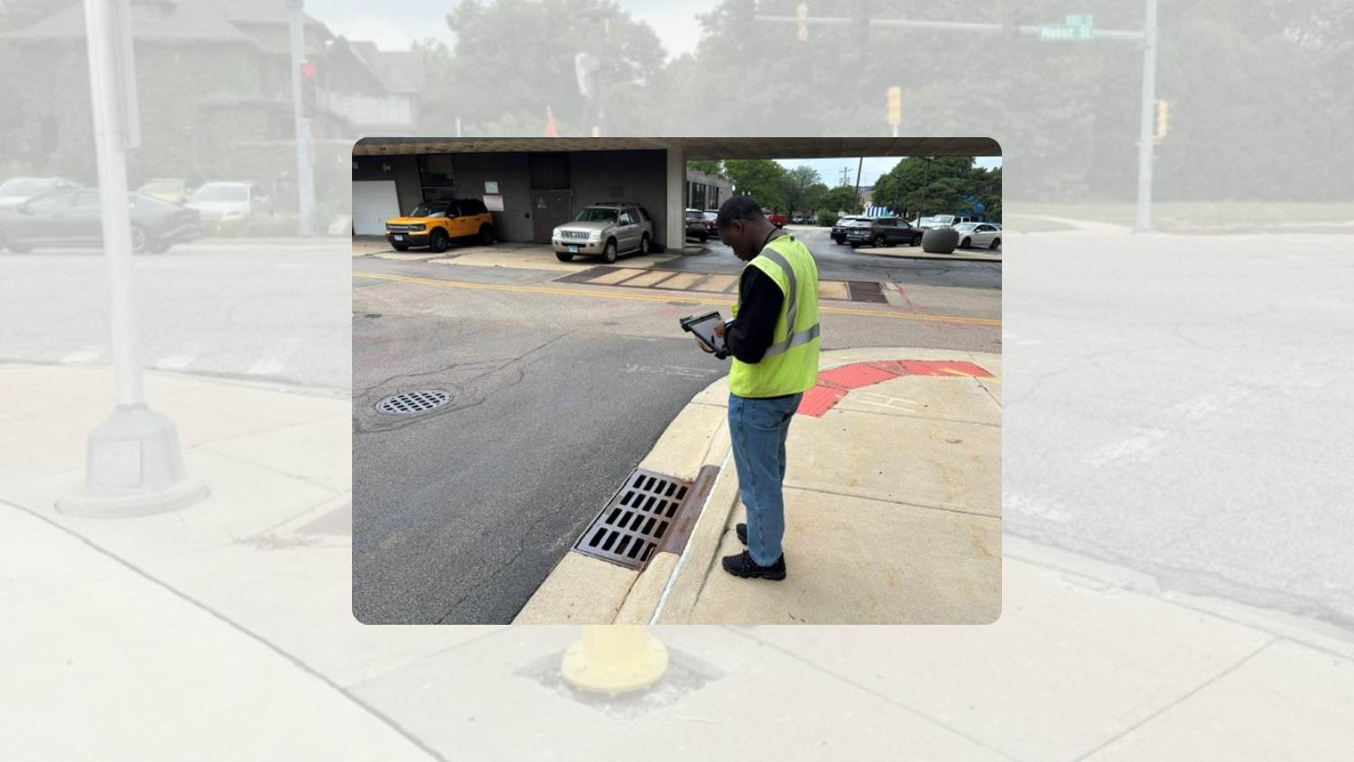
The City of Rockford, Illinois, transformed its GIS data collection workflow by replacing legacy GPS equipment with the Arrow Gold+ GNSS receiver and ArcGIS Field Maps. The new real-time, cloud-based workflow enables staff and interns to accurately map critical infrastructure and instantly share updates organization-wide. In 2026 alone, interns mapped 9,500 streetlights in just three weeks, helping Rockford improve asset management, support utility initiatives, and keep its GIS data current for nearly 150,000 residents. And did you know? Rockford’s approach to GIS has even won them a 2026 Esri SAG award!
Getting Started with Eos Laser Mapping?
Two new resources to get you mapping from afar
Laser mapping is one of the most effective ways to retain high-accuracy during data collection in challenging environments, such as dense canopy and urban settings. Two new resources from the Eos technical support team will help you get set up.
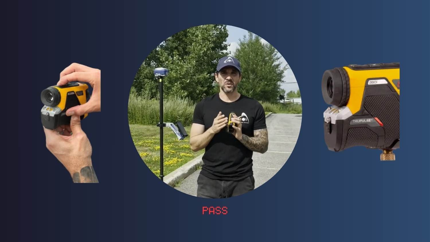
TruPulse® 360i Compass Calibration
Learn how to calibrate the TruPulse® 360i compass. This tutorial includes video and step-by-step instructions, meant to supplement LTI’s calibration guide.
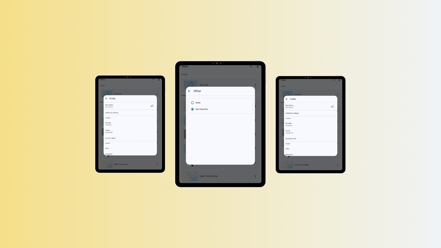
How to Set Eos Tools Pro as the Offset App in ArcGIS Field Maps (for Android)
Android users: Learn how to set Eos Tools Pro as the offset app in ArcGIS Field Maps.
Customer Spotlight: Chloé Girka Brings Precision Positioning to Research, Teaching, and the Field
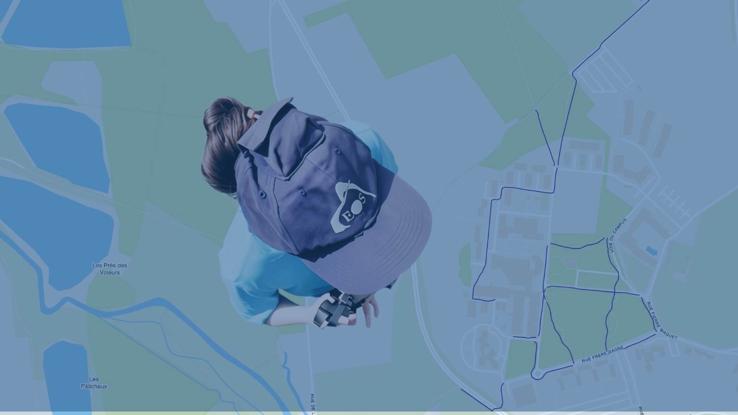
At UniLaSalle Polytechnic Institute in France, GIS Engineer Chloé Girka uses Arrow 100+® GNSS receivers to support a wide range of projects, from agricultural research and drone mapping to campus infrastructure and accessibility initiatives. The high-accuracy receivers help researchers map soil samples, geophysical surveys, and crop data, while also enabling innovative projects such as a street-level accessibility map built with 360° imagery and precise GNSS positioning. Chloé also uses the technology to teach students about GNSS and precision positioning through hands-on field activities. It’s pure passion that drives Chloé’s perpetual interest in spreading geospatial skills.
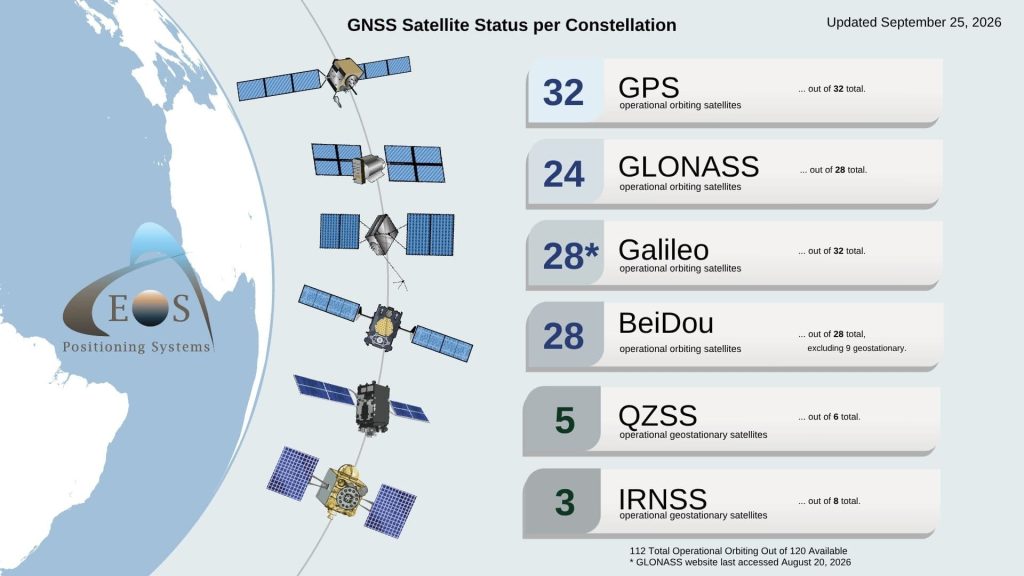
Current GNSS Satellite Status for September 25, 2026
Since last month: Total global operational orbiting GNSS satellites increased by 1 to 112. This is thanks to one additional operational satellite joining the GPS constellation. Our team was not able to access the GLONASS constellation website this month.
More News
Space Daily Analyzes Last Year’s Geomagnetic Superstorm
In November 2025, a severe geomagnetic storm caused GNSS positioning errors of more than 10 meters (32 feet), with signal disruption extending across much of North America. Researchers found ionospheric disturbances degraded GNSS accuracy even at mid-latitudes. The superstorm highlights how space weather can temporarily impact GNSS precision, and it underscores the importance of monitoring GNSS conditions during periods of intense solar activity.
Read their fascinating findings >
Esri Blog: Mapping with Greater Precision Where It Matters Most
Lee County Electric Cooperative (LCEC) improved the accuracy and efficiency of their field GIS by adopting the Skadi 300™ GNSS receiver with the Skadi Smart Handle™. Integrated with existing Esri and NISC technologies, the solution enables crews to capture precise 3D asset locations from afar, helping LCEC better locate infrastructure, streamline field collection, and support faster restoration efforts after severe weather. As the cooperative continues to grow, the high-accuracy workflow helps them maintain more reliable asset data while saving time for both GIS staff and field crews.
See how LCEC works smarter >
Upcoming Events
Here’s where to find our team in the coming weeks:
WEFTEC
Sept. 28-30 | New Orleans, LA, USA
Find Eos with Esri in Booth #1817 >
KAMP
Sept. 29 – Oct. 1 | Lexington, KY, USA
Find an Authorized Eos Representative Booth #19 >
IWA World Water Congress & Exhibition
Oct. 4-8 | Glasgow, Scotland, UK
Find Eos, Esri and MGISS in Stand #113 >
Esri France SIG
Oct. 7-8 | Paris, France
Find Eos in the Exhibit Hall >
RWWAN
Oct. 13-14 | Lake Tahoe, NV, USA
Join the Eos/Esri Workshop Oct. 13 and find Eos’s Booth Oct. 14 >
Esri Canada Forestry SIG
Oct. 14 | Kelowna, BC, CAN
Find Eos On Site >
Esri Canada UC
Oct. 21-22 | Toronto, ON, CAN
Find Eos in Booth #15 >
Texas GIS Forum
Oct. 22-23 | Austin, TX, USA
Find Eos in Booth #10 >
Esri IMGIS
Oct. 28-29 | Palm Springs, CA, USA
Find Eos in Booth #104 >
Rendez-vous Géomatique 26
Oct. 28-29 | Trois-Rivières, QC, Canada
Retrouvez Eos au stand n° 10 >
MN GIS/LIS Consortium
Oct. 28-30 | Duluth, MN, USA
Find an Eos Representative On Site >