What causes GNSS error? In part 2 of our educational series, learn how error is introduced into all GPS technologies, and how you can take steps to mitigate this error.
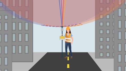
What causes GNSS error? In part 2 of our educational series, learn how error is introduced into all GPS technologies, and how you can take steps to mitigate this error.
Our panelists answer questions about datum transformations, RTK, ArcGIS Field Maps and more in this Q&A from our recent workshop.

Why is the Range-Backsight laser mapping method the most efficient and most accurate? This article breaks down everything you need to know about this popular workflow.
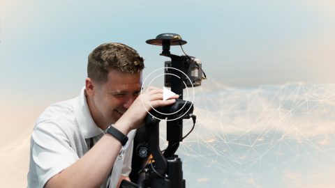
In these videos, we demonstrate data capture using 3 Eos Laser Mapping methods: Range-Azimuth, Range-Backsight, and Range-Range.
Eos is pleased to offer a free training workshop for Eos Laser Mapping™ with ArcGIS Field Maps. Learn how to map assets from afar while retaining high accuracy.

This Eos Laser Mapping™ for ArcGIS® User Manual is a resource for those interested in deploying laser mapping.
With Eos Laser Mapping you have three standard workflows to choose from. This article shows you video and best uses for each setup.

Eos Positioning Systems was pleased to offer 4 live GPS training workshops for various ArcGIS apps. Contact Eos to request a recording.
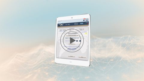
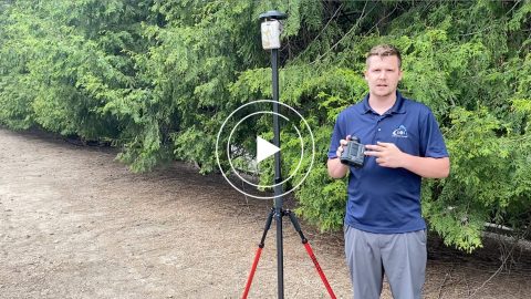
In this second Eos Laser Mapping video, you’ll learn how to set up Collector and Eos Tools Pro for laser offsets. Set alarms, orthometric height and more!
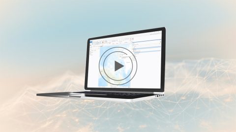
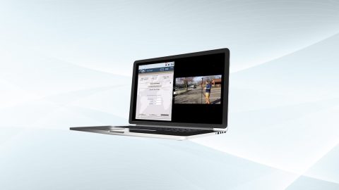
This video will show you how to create your feature layer in ArcGIS Pro with the Eos toolbox.zip file and publish your web map for laser mapping.