Discover how this pivotal program teaches public high schoolers how to use GIS, GNSS, drones, and related technology.
To enable more accurate predictions about sea level rise, Dr. Kyle Emery is piloting a drone, GNSS, GIS, and satellite imagery workflow.
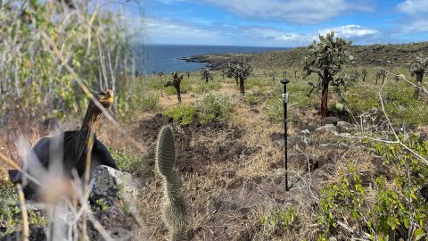
Charles Lehnen uses brand-new Galileo HAS corrections with the Arrow Gold+ in the Galápagos archipelago. His work will study Santa Fe Island’s rewilding.
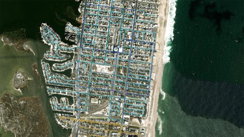
New Jersey American Water is saving $2.6M per year in OpEx by knowing a million asset locations with survey-grade accuracy.
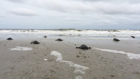
A nonprofit group in South Carolina uses location-based technology to protect sea turtles, so they can safely hatch and go home to the ocean.
In this Eos / Directions Magazine webinar, two users of high-accuracy GNSS receivers demonstrate how they implemented and improved high-accuracy data collection.
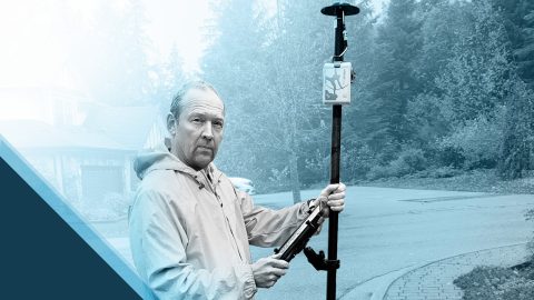
Dmitri Bagh is committed to putting the “real” in augmented reality (AR). As a passionate Scenario Creation Analyst at Safe Software, Dmitri is helping to pave the way for visually powerful, high-accuracy data collection with AR.
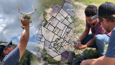
By replacing physical boundary markers with highly accurate digital records, ADF Haiti enabled the deployment of modern machine technologies that improve farmers’ yield while retaining trust.

Four panelists share their experiences using Arrow GNSS receivers with ArcGIS apps and take audience questions.
Learn best practices for deploying high-accuracy Arrow GNSS receivers with Esri’s ArcGIS Field Maps. This webinar includes a customer presentation about his deployment, including demonstrations and Q&A.