Benson Crowell created highly accurate site plans to improve campus maintenance across Texas. This spotlight is dedicated to his legacy.
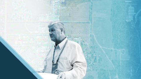
Benson Crowell created highly accurate site plans to improve campus maintenance across Texas. This spotlight is dedicated to his legacy.
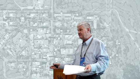
Can high-accuracy GNSS and GIS integrate with CAD? Discover how in this recorded 2022 Esri UC presentation.
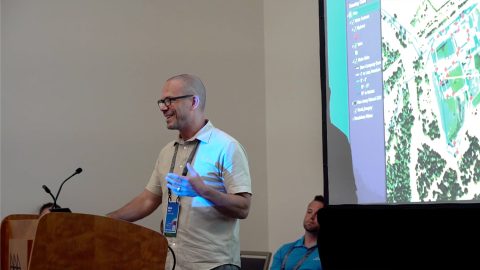
New Jersey American Water shares how they updated GNSS technology to save money, reduce time spent, and increase accuracy.
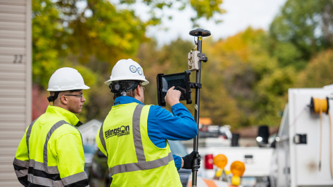
Minnesota-based Ellingson Companies provides gas utilities with real-time as-builts that are captured with centimeter-level accuracy.
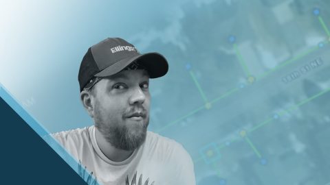
Damon Nelton overcame many challenges to develop a real-time, GPS as-builting workflow for gas-utility construction projects.

Learn how Ellie Chao uses Eos Arrow Gold® GNSS receivers with ArcGIS Field Maps to increase trust in the accuracy of data for her utility clients.
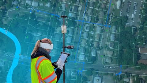
The City of Rahway upgraded from a paper-based workflow to digital GNSS mobile mapping for the city’s sanitary sewer and stormwater systems.

As a GIS Specialist at Colliers Engineering & Design, Amanda Paton understands clients’ needs, collects GIS data, and analyzes it to make sure needs are met.
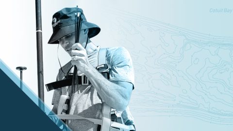
Customer Spotlight: Chris Kahn was one of Eos’ earliest customers and has found a sweet spot of efficient CAD, GIS, GNSS, and UAV field work.

Meet our newest Customer Spotlight: Mike George of DDSI! Mike adopted laser offsets with Arrow & ArcGIS Collector, helping increase DDSI’s project margins by 20% per project!