Map Assets Without Having to Physically Occupy Them
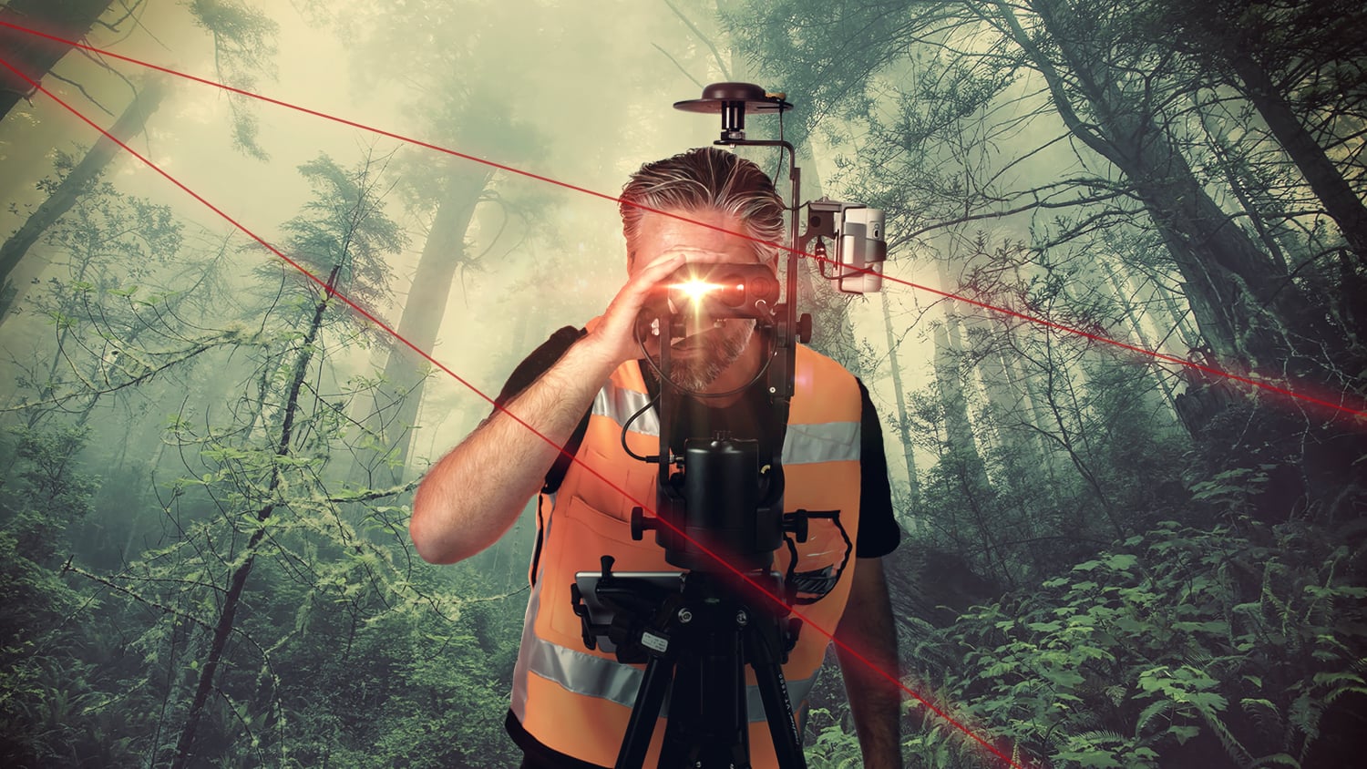
Eos is excited to bring you the world’s first laser mapping solution for Esri’s ArcGIS apps. The Eos Laser Mapping™ solution is for field crews that need to map hard-to-occupy assets with 3D, survey-grade accuracy — without having to physically stand on top of every single point. This is great when the assets you need to collect are located in environments that are either GNSS-impaired (with poor line-of-sight to positioning satellites), or in areas that are difficult and dangerous to reach. Eos Laser Mapping™ is currently available for iPad® and iPhone® as a free solution, in conjunction with our partnerships between Esri and Laser Technology (LTI).
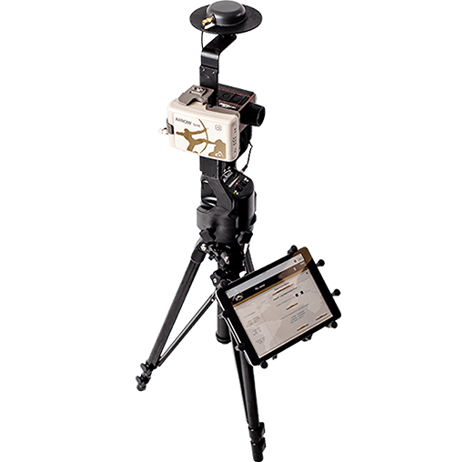
Key Benefits of Eos Laser Mapping™
Increase Accuracy and Efficiency
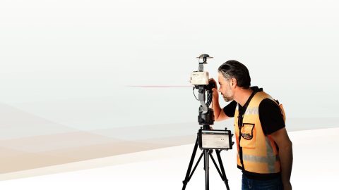
Eos Laser Mapping™ lets a technician stand hundreds of meters away from his target, while collecting it with submeter or centimeter accuracy.
Keep Crews Safer
Keep your crews safer when they can map assets, such as a manhole located in a busy street intersection, from a safe distance away.
Choose From 3 Mapping Methods
With three laser mapping methods to choose from, you can pick the workflow that provides the greatest combination of mobility and efficiency.
What Are The 3 Eos Laser Mapping™ Methods?
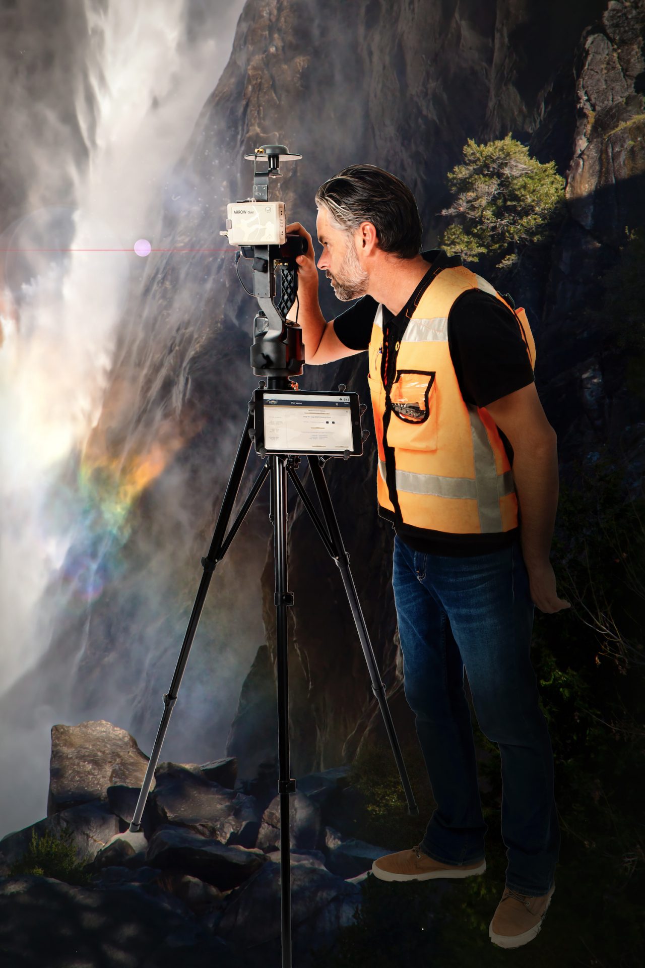
Choose From 3 Laser Mapping Methods
Range-Azimuth, Range-Backsight, and Range-Range
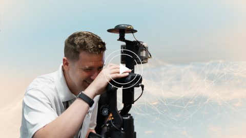
Customers interested in Eos Laser Mapping™ can choose from three methods: Range-Azimuth, Range-Backsight, and Range-Range (sometimes called “Range-Intersect”). Play the video for an overview of all three methods, and which method is best for which type of data collection. All three methods require the following equipment:
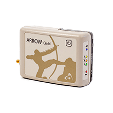
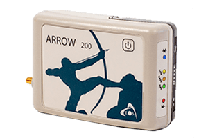
- An Arrow Series® or Skadi Series™ GNSS ReceiverRA, RB, RR
- Eos Tools ProRA, RB, RR
- ArcGIS Field Maps (or ArcGIS Collector)RA, RB, RR
- iOS® or Android Mobile DeviceRA, RB, RR
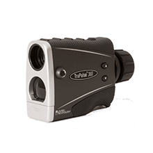
- An LTI Laser Rangefinder
- LTI TruPulse 200X Laser RangefinderRB, RR
- LTI MapStar TruAngle Angle EncoderRB,
- LTI TruPulse 360 Laser RangefinderRA, RR
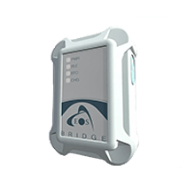
- Eos Bridge™ (recommended with the TruPulse 360 for the Range-Azimuth method)RA
- Recommended Mounting Equipment (varies by method):
- Range PoleRA, RR
- TripodRB
- LTI TruAngle Mounting Bracket (with TruAngle)RB
- LTI TruPulse Range Pole BracketRA, RR
RAIndicates equipment for Range-Azimuth laser mapping method
RBIndicates equipment for Range-Backsight laser mapping method
RRIndicates equipment for Range-Range (Range-Intersect) laser mapping method
What Hardware and Software is Required for Eos Laser Mapping™?
Eos Laser Mapping™ is a free solution from Eos Positioning Systems. However, you must have all the required hardware and software components in order to use the solution.
Skadi Series™ or Arrow Series® GNSS Receiver
You will need a Skadi Series™ or Arrow Series® GNSS receiver. We recommend the Skadi Gold™ or Arrow Gold+™ receivers for optimal productivity and performance.
iOS & Android Apps
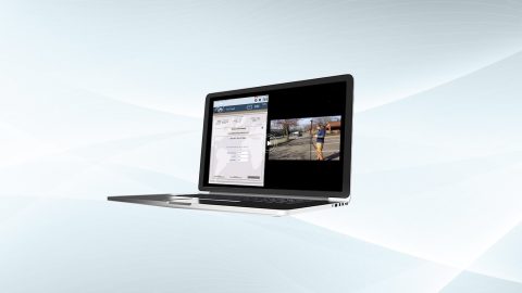
Eos Laser Mapping™ requires an iOS or Android mobile device running Eos Tools Pro and Esri’s ArcGIS Field Maps to perform the data capture.
Compatible Laser Rangefinder
Eos Laser Mapping™ is compatible with LTI’s laser rangefinders. The model you need depends on which laser mapping method you wish to use.
Featured Case Studies Using Eos Laser Mapping™ for ArcGIS
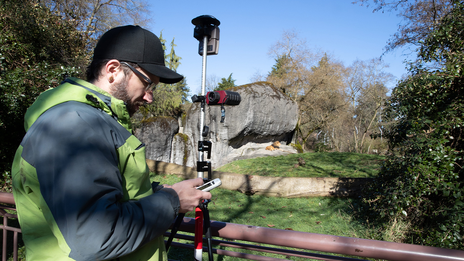
Seattle Zoo uses Lasers to Build Basemap around Lions
Laser Mapping with ArcGIS Collector allows one zoo to create its first basemaps in 120 years with cm accuracy, amid heavy foliage, buildings and animals.
More InfoCapturing Hard-to-reach Assets with Decimeter Accuracy
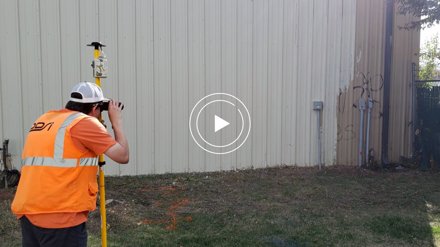
In this Esri AEC webinar, DDSI Global shares how per-project ROI increased by 20% thanks to the use of Eos Laser Mapping for Collector during site surveys.
More InfoCustomer Spotlight: Chris Kahn, with Eos from the beginning
Customer Spotlight: Chris Kahn was one of Eos' earliest customers and has found a sweet spot of efficient CAD, GIS, GNSS, and UAV field work.
More Info
