Our success starts and ends with our customers. Each month, Eos feature new stories and customer spotlights to highlight how professionals around the world are taking advantage of submeter and centimeter locations in their mobile mapping workflows. Browse case studies, videos, customer spotlights and more to gain ideas on how external GNSS receivers can help transform work at your organization.
Filter items by the following categories
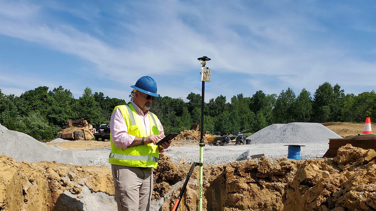
Aaron Krohn prepares his utility for the future by improving field accuracy and efficiency, in part thanks to GNSS.
The GIS Program at Washington College created accurate digital maps to update those available for Tuckahoe State Park visitors. They used an Arrow Gold and ArcGIS Field Maps.
Ryan Key uses high-accuracy location data to enhance inspections, improve maintenance responses, and increase confidence in utility data.
Learn all about the namesake of the new Skadi Series™ — from the Norse goddess Skadi herself!
Learn how Sarah uses GNSS and GPR to map gravesites at Indigenous Residential Schools with precision and respect.
The Resort Municipality of Whistler equips departments with a high-accuracy mobile data collection workflow to support grant applications.
Dr. Kyle Emery leverages high-accuracy GNSS and drone imagery to deepen our understanding of coastal change.
Discover how this pivotal program teaches public high schoolers how to use GIS, GNSS, drones, and related technology.
Discover how Nathan optimizes water services with an efficient mobile data collection workflow!
Charles amps up accuracy for his electric utility clients through easy-to-implement GNSS and GIS solutions.
To enable more accurate predictions about sea level rise, Dr. Kyle Emery is piloting a drone, GNSS, GIS, and satellite imagery workflow.
Hear how David Malm maps city infrastructure with high-accuracy GNSS in this exclusive video interview!