In these videos, we demonstrate data capture using 3 Eos Laser Mapping methods: Range-Azimuth, Range-Backsight, and Range-Range.
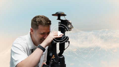
In these videos, we demonstrate data capture using 3 Eos Laser Mapping methods: Range-Azimuth, Range-Backsight, and Range-Range.
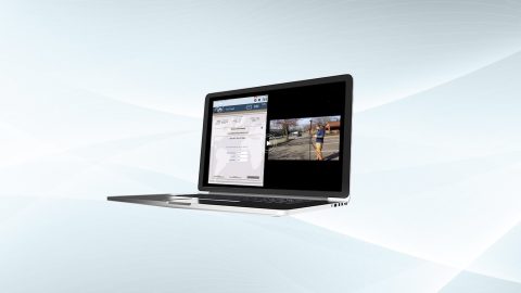
Eos is pleased to offer a free training workshop for Eos Laser Mapping™ with ArcGIS Field Maps. Learn how to map assets from afar while retaining high accuracy.
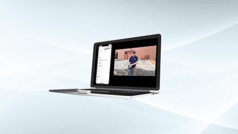
Eos is pleased to offer a free training workshop for Eos Locate™ with ArcGIS Field Maps. Learn how to map underground utilities with this partnered solution.
This Eos Locate™ for ArcGIS® User Manual is intended for customers using Vivax-Metrotech models of utility locators. Subsite® models of utility locators.
This Eos Locate™ for ArcGIS® User Manual is intended for customers using Subsite® models of utility locators.
This Eos Locate™ for ArcGIS® User Manual is intended for customers using Vivax-Metrotech models of utility locators.
This Eos Locate™ for ArcGIS® User Manual is intended for customers using Vivax-Metrotech models of utility locators.
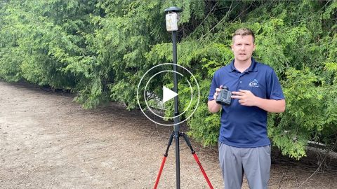
With Eos Laser Mapping you have three standard workflows to choose from. This article shows you video and best uses for each setup.
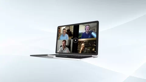
Eos Positioning Systems was pleased to offer 4 live GPS training workshops for various ArcGIS apps. Contact Eos to request a recording.
Run multiple Esri mobile apps on Android while concurrently consuming Arrow GNSS location metadata. This guide will show you how (for Android only).