


Handle Range Pole Bracket


Beta Tester Program


The Magic of Location™
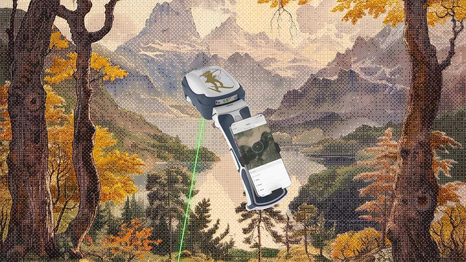
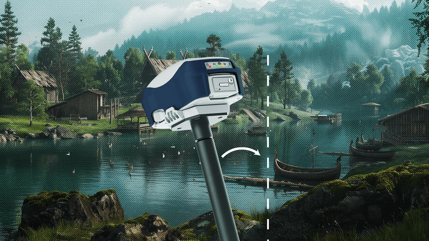
If you are looking for reliable, repeatable, and real-time GNSS locations in your mobile workflow, you are in the right place. Eos Positioning Systems designs and manufactures professional, affordable GNSS receivers that provide submeter to centimeter level accuracy to any iOS®, Android™, or Windows® mobile device. Our Skadi Series™ and Arrow Series® GNSS receivers provide these submeter GPS and RTK GNSS locations to any data-collection app on the market. If you are looking for an accurate and affordable GNSS receiver, we encourage you to browse our website and contact us today.

What Makes Eos GNSS Receivers Special?
Device and App Friendly
All Eos Positioning Systems hardware is designed to work with any consumer mobile device, including iOS, Android, and Windows. In addition, Eos GNSS receivers work with any data-collection app, whether it’s a partner app or your own proprietary mobile app.
Variety of Accuracy Levels
Eos offers many models of GNSS receivers. Each model provides either submeter, subfoot, or centimeter-level accuracy, depending on the differential correction source used.
Access to Software and Solutions
Eos offers a variety of software and solutions to enhance your experience with our GNSS hardware. Every Eos GNSS receiver includes access to free GNSS monitoring software and optional GNSS solutions.
- Submeter GNSS Receivers
- Centimeter-Level GNSS Receivers



Worldwide Submeter and Centimeter Accuracy
Eos GNSS receivers are designed to be used with a variety of differential correction sources. Each source is available regionally, based on where your field work occurs. Eos can help you determine which Eos GNSS receiver model and accompanying differential correction source will give you the best value and accuracy. Below are the most commonly used differential correction sources supported by Eos GNSS receivers:
SBAS
Satellite Based Augmentation Systems (SBAS) are free, regional differential correction services that provide 30-60cm average accuracy with Eos GNSS receivers.
View SBAS Coverage Worldwide >
Galileo HAS
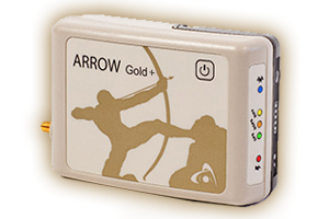
Galileo High-Accuracy Service (HAS) provides 10-20cm average accuracy with the Arrow Gold+ or Skadi Gold. Galileo HAS is a free differential correction service available globally.
Learn About Galileo HAS >
RTK Networks
Real-Time Kinematic (RTK) networks are free or paid, public or private sources of cm-level corrections. Our GNSS receivers support all existing RTK networks.
Learn about RTK >
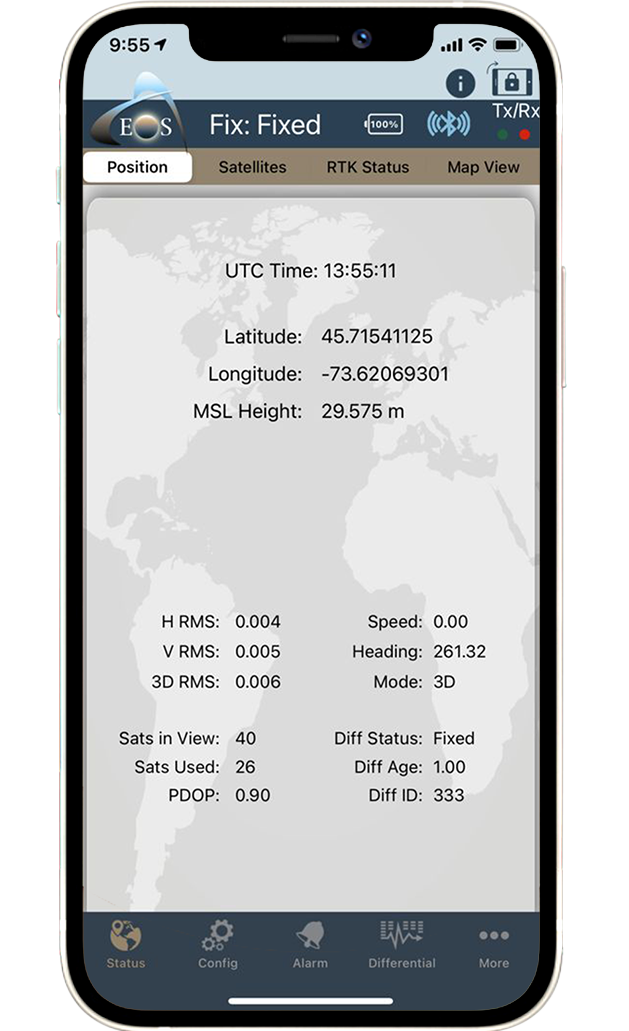
Base Station
Base stations are reference stations that broadcast centimeter-level differential corrections to an approximate 50 km (31 mi) radius. Certain Arrow receivers can be installed and operated as a private base station.
Learn about the Arrow Gold+ >
Atlas® Service
Atlas® service is a paid satellite subscription that provides 4-50cm accuracy worldwide. It is recommended in places where SBAS, RTK networks and base stations are not available.
Learn about Atlas® >
What Customers Are Saying
“It’s great that the Eos receiver just so happens to be able to operate at 50 Hz, which is not common.”
Sophie LeGresleyGraduate Student, University of New Brunswick / New Brunswick, Canada
“The Skadi 300 has been a great addition to our field workflows at Kinetik, especially as we continue expanding the use of ArcGIS Field Maps and high-accuracy GNSS across our operations”
Papillon RomeroGIS Manager, Kinetik / Houston, Texas, United States
“The Skadi makes our work much easier because we can hold both the equipment and the iPad® in one hand. It’s become one of my favorite tools.”
Gus OteroGIS Specialist, Lee County Electric Cooperative / North Fort Meyers, Florida, United States
Designed to Work With Partner Software and Hardware
Eos Positioning Systems partners with a variety of software and hardware providers. This ensures your Arrow or Skadi GNSS receiver seamlessly integrates with the world’s leading mobile mapping technologies. Additionally, our receivers are able to work with any third-party app, even if it is not listed on our website. Browse the most popular partner technologies we recommend using with your Eos GNSS receiver:
Explore Eos Solutions
Eos offers a number of mobile mapping solutions designed for GIS users. Learn more about each:
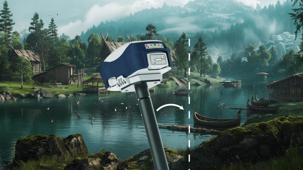
Skadi Tilt Compensation™
Skadi Tilt Compensation is the first tilt compensation solution specifically for the GIS market. With this solution activated, field workers can rectify errors introduced from tilted angles during data collection with a survey range pole. This extremely accurate feature introduces only about 0.3 millimeters (0.01 inches) of inaccuracy per degree of tilt. It is recommended for crews who use range poles, require centimeter-level (RTK) accuracy, and want to eliminate time spent leveling their poles on each point. Skadi Tilt Compensation is available as an optional upgrade for the Skadi 200, Skadi 300, and Skadi Gold.

Eos Laser Mapping™ for ArcGIS
Eos is excited to bring you the world’s first laser mapping solution for Esri’s ArcGIS apps. The Eos Laser Mapping solution is for field crews that need to map hard-to-occupy assets with 3D, survey-grade accuracy — without having to physically stand on top of every single point. This is great when the assets you need to collect are located in environments that are either GNSS-impaired (with poor line-of-sight to positioning satellites), or in areas that are difficult and dangerous to reach. Eos Laser Mapping is currently available for iPad and iPhone as a free solution, in conjunction with our partnerships between Esri and Laser Technology (LTI).

Eos Locate™ for ArcGIS®
Bring your buried assets to life! Accurately mapping buried legacy pipe has traditionally required digging spot holes, physically exposing the buried pipe, and then capturing its location. This is time consuming, expensive, and inconvenient for everyone who lives and works in the area. Are you ready to bring your buried assets to life without digging? Eos Locate for ArcGIS is the world’s first real-time, survey-grade underground mapping solution for ArcGIS. With Eos Locate , it takes just a few seconds to locate and map buried infrastructure with highly accurate coordinates and depth below cover, directly into ArcGIS. This solution drastically cuts down time and labor spent in the field remapping existing utilities, while improving the accuracy of geospatial records.
Browse Our Latest Success Stories
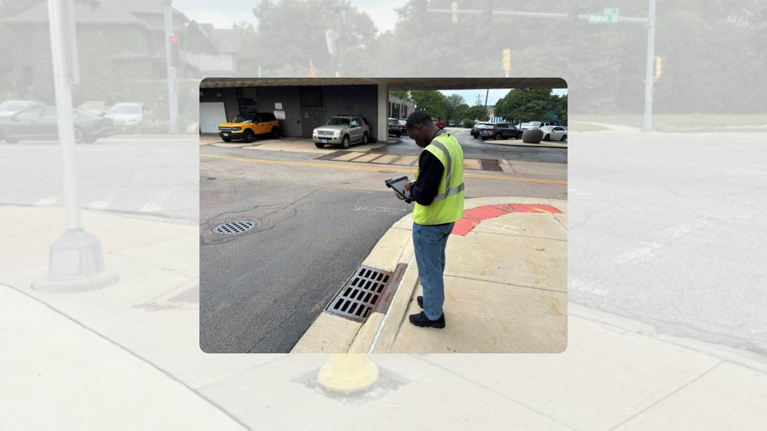
City of Rockford Modernizes Asset Mapping with Arrow Gold+
The City of Rockford modernized GIS asset mapping with Arrow Gold+, ArcGIS Field Maps, and real-time GNSS data collection.
More Info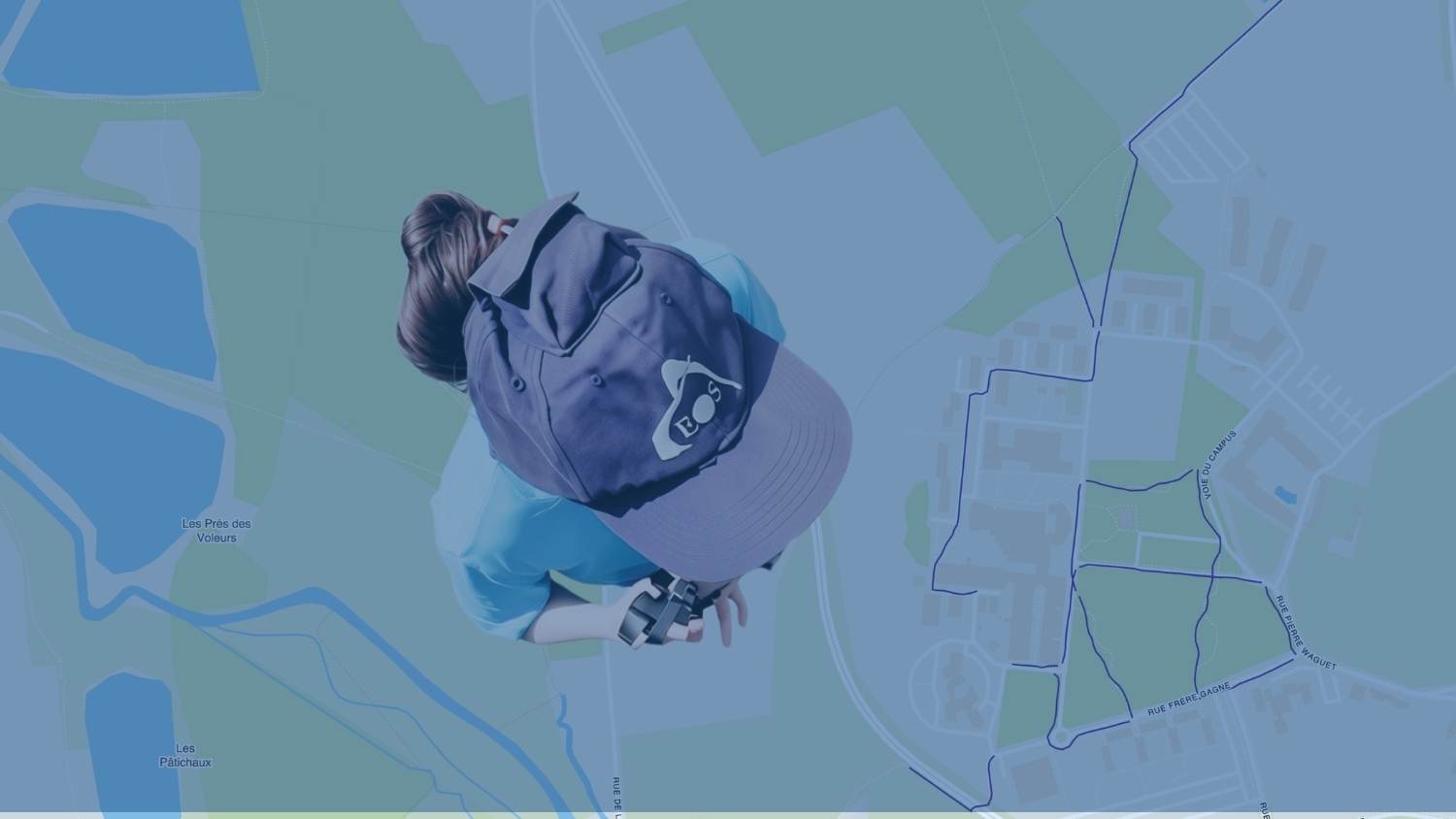
Customer Spotlight: Chloé Girka Brings Precision Positioning to Research, Teaching, and the Field
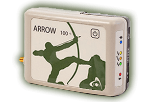
Meet Chloé Girka of France's UniLaSalle, and discover how the Arrow 100+ GNSS receiver supports research, teaching, precision agriculture, and campus mapping.
More Info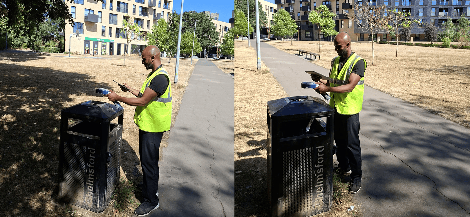
Chelmsford City Council upgrades its data capture solution with Skadi 100 and ArcGIS Field Maps
Chelmsford City Council adopted the Skadi 100 and ArcGIS Field Maps to accurately map assets, preserve critical organizational knowledge, and streamline field data collection across the authority.
More InfoKnowledge Base: Discover Resources To Get You Started
Learn
Do you want to learn about GNSS, GEOID models, drones, datum shifts and more? Browse our knowledge base for informative articles.
Watch
Whether you want to pair your Eos GNSS receiver to your device via Bluetooth® or follow along with step-by-step instructions for solutions like Eos Laser Mapping™, we have a video for you.
Download
Our user manuals and quick start guides give you everything you need to get started with Eos products and solutions.
Popular Knowledge Base Posts:

How to Map a Point with the Skadi Smart Handle™: Using the Extensible Virtual Range Pole™ Mode and ArcGIS® Field Maps
Learn the setup and workflow for collecting a point using the Extensible Virtual Range Pole™, a mode of the Skadi Smart Handle™, with ArcGIS® Field Maps.

How to Mount and Remove Your Skadi GNSS Receiver to and from a Surveying Range Pole
In this tutorial, learn how to mount and remove your Skadi Series™ GNSS receiver to and from your surveying range pole using the included Pole Mounting Cradle Assembly.

Skadi Tilt Compensation™: User Manual
This manual guides you through the steps to enable, initialize, and begin using Skadi Tilt Compensation™. Requires a Skadi Tilt Compensation activation.

How to Configure RTK in Eos Tools Pro for iOS®
This article provides step-by-step instructions for setting up RTK connection information in Eos Tools Pro on iOS® devices (e.g., iPhone®, iPad®, iPad mini®).
Subscribe to Our Monthly Newsletter
Each month, Eos publishes a newsletter containing our most recent case studies, product and company updates, new training resources, GNSS updates, the next month’s events where you can find our team, and more.
Contact Us to Get Started
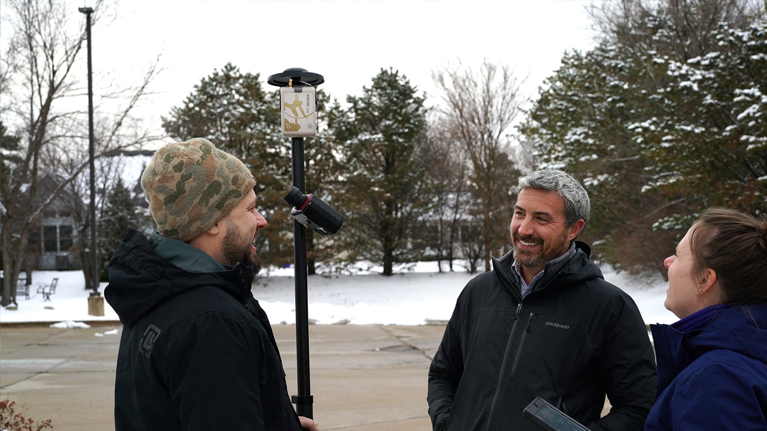
Eos Positioning Systems provides quick replies to all inquiries. If you are interested in learning more about Eos GNSS receivers, looking for a quote, or have general questions about our products, please contact our team. For sales inquiries, we will connect you with an authorized local distributor based on your location. If you are an existing customer who has a question for our technical support team, please fill out a technical support request.