Indiana American Water and Esri describe how they drastically reduced as-builting times and improved employee satisfaction with the Arrow 100 and Collector.
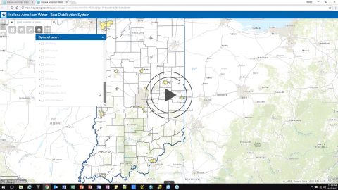
Indiana American Water and Esri describe how they drastically reduced as-builting times and improved employee satisfaction with the Arrow 100 and Collector.
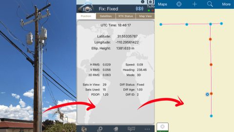
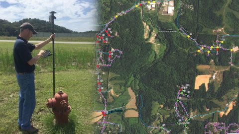
Sulphur Springs Valley Electric Cooperative responded to an internal request by remapping a substation with Arrow Gold, RTK & Collector.
Sulphur Springs Valley Electric Cooperative and Esri discuss how SSVEC collected over 34,000 substation records in just one month in mountainous Arizona.
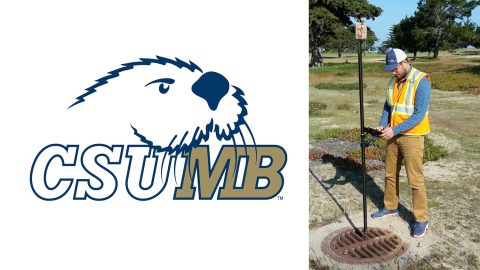
California State University-Monterey Bay increased positional accuracy for campus assets with the Arrow 200 for RTK elevation collection on Esri Collector.
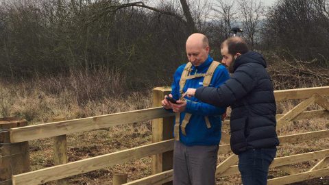
Northumbrian Water acquired 10,000 water and sewer assets in Durham, UK. To QA/QC the new data they used Arrow 100 for mapping drains and sewers with Esri.
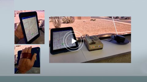
Le-Ax Water District needed to GPS above-ground assets with a low budget. They used Arrow 100 for rural water data collection with Esri Collector.
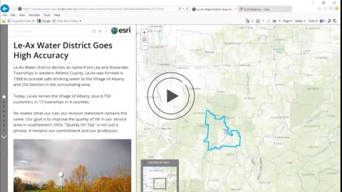
Le-Ax Water District and Esri discuss how the Arrow 100 and Esri Collector enabled them to collect high-accuracy asset and attribute data on a budget.
By Jeff Shaner, source: ArcGIS Blog. ArcGIS Collector is adding exciting new capabilities to the next release that let you map your assets (eg hydrants).