App Used: ArcGIS Collector

  • Home
  • Archive for "ArcGIS Collector"

Tohono O’odham Utility Authority Transforms Utility Services with GIS

Tohono O'odham Utility Authority Transforms Utility Services with GIS

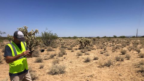
TOUA collected accurate, geospatial data for 710 miles of distribution conductors in Arizona heat. See how their records improved!

Customer Spotlight: B. J. Malone Turns Experience into Efficiency with GPS and GIS

B. J. Malone Hero Image 2

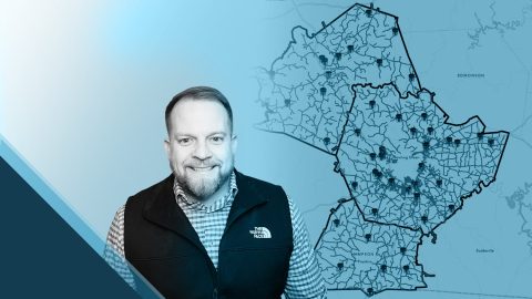
B. J. Malone implemented high-accuracy GNSS workflows to locate above and below-ground water assets precisely and efficiently.

American Water: Upgrading Data Collection and Drones [A 2022 Esri UC Session]

Chris Kahn Esri UC Presentation New Jersey American Water

New Jersey American Water shares how they updated GNSS technology to save money, reduce time spent, and increase accuracy.

High-Accuracy As-Builting for Gas Utilities: Webinar with Esri

High-Accuracy As-Builting for Gas Utilities

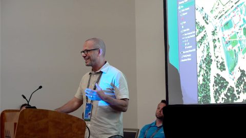
Learn how to achieve high-accuracy as-built mapping for your gas utility in this April 2022 webinar from Esri and Eos Positioning Systems.

Heritage at Risk: Documenting and Excavating Cultural Sites in Coastal South Carolina — Before They Are Lost Forever

South Carolina Department of Natural Resources Feature Image with Eos Arrow GNSS

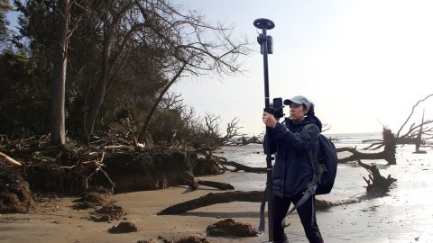
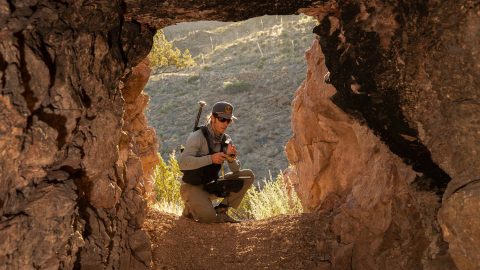
Learn how the South Carolina Department of Natural Resources uses high-accuracy GNSS to excavate artifacts before they are lost to climate change.

Managing the Privatization of East Germany’s State-Owned Lands with ArcGIS Enterprise and High-Accuracy Mobile GIS

East Germany privatized land parcels with Arrow GNSS and Esri ArcGIS

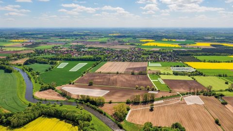
Since Germany reunited in 1990, the BVVG has been dedicated to privatizing lands formerly owned by East Germany. See how their mapping technology has evolved over decades.

Customer Spotlight: Summer Roberts Pairs Winemaking with GIS

Customer Spotlight - Summer Roberts Uses Eos Arrow GNSS to Map Vineyards with High Accuracy

Did you know GIS might be behind your glass of wine? Learn how Summer Roberts uses GNSS to map vineyard properties in California.

Locating Potential Bat Habitats in Abandoned Mines with GIS

Bat Conservation International Uses Arrow GNSS - Entering Cave with GIS Data Collection Setup (Photo Credit Bill Hatcher)

Bat Conservation International locates bat-friendly habitats with a combination of Esri ArcGIS Apps (e.g., Survey123) and Arrow GNSS receivers.

Jim Casey

My favorite feature of the Arrow GNSS receivers is the fact that it works so easily — it is both fast and accurate. Connecting the Arrow Gold® to my iPad® via Bluetooth® and using ArcGIS Collector is such a simple setup. Training a new user to use an Arrow Gold® couldn’t be much easier.

Customer Spotlight: Amber Kuehn Uses High-Accuracy Maps to Protect Endangered Sea Turtle Nests

Amber Kuehn Customer Spotlight Hero Image Kissing Endangered Sea Turtle with GNSS GIS GPS map of nests in background

The moment Amber Kuehn first laid eyes on a sea turtle, she knew she would be spending her life advocating for them. Learn how she uses Arrow GNSS to protect this endangered species.